Author: Command

Potash Mountain Trail

Hike

Potash Mountain Trail

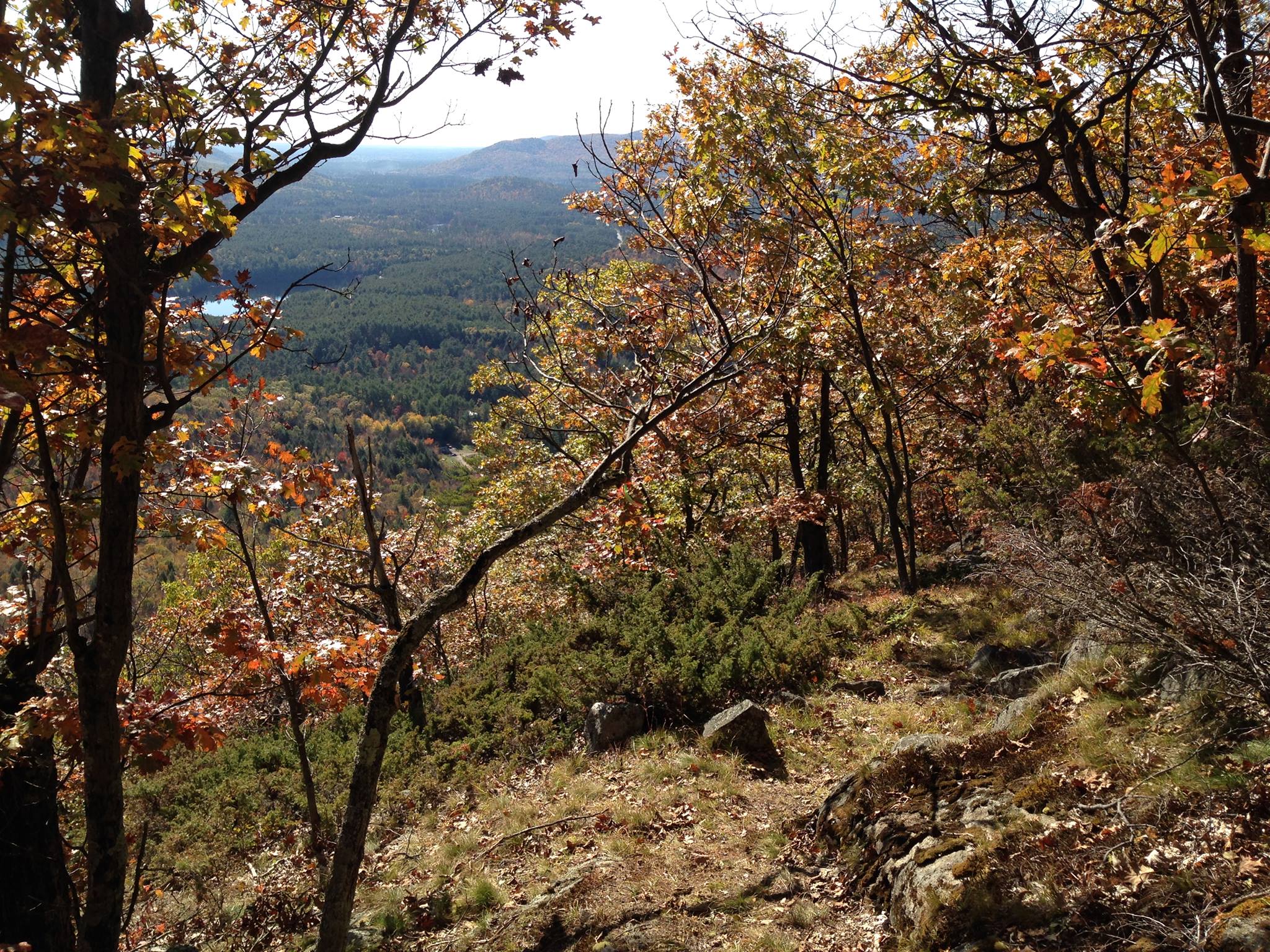
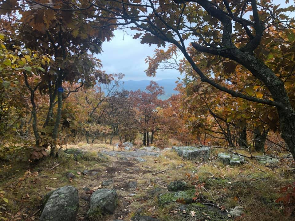
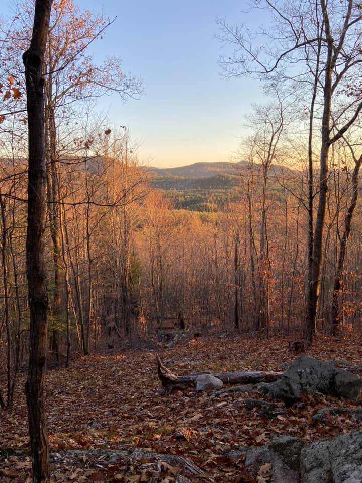
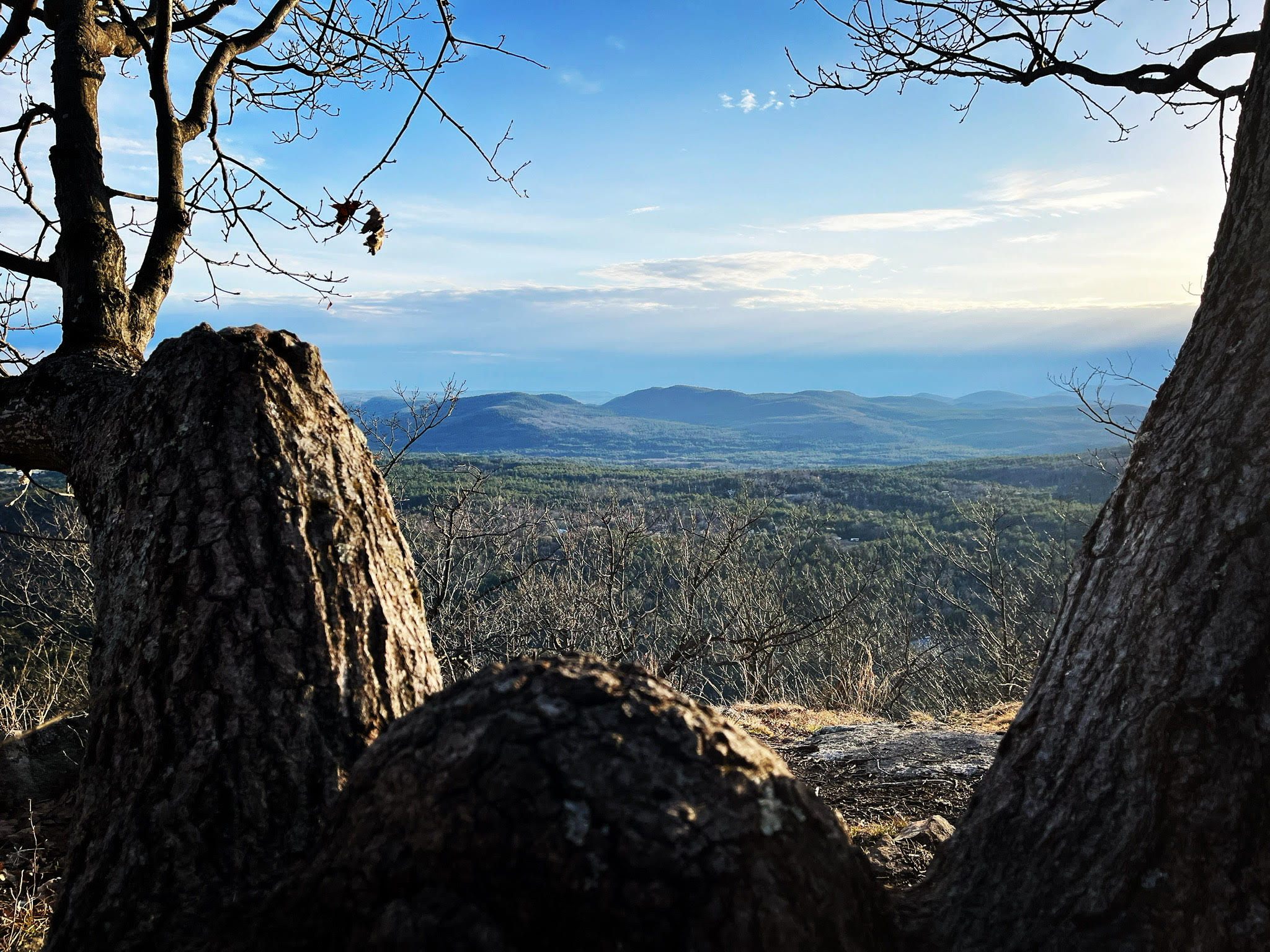
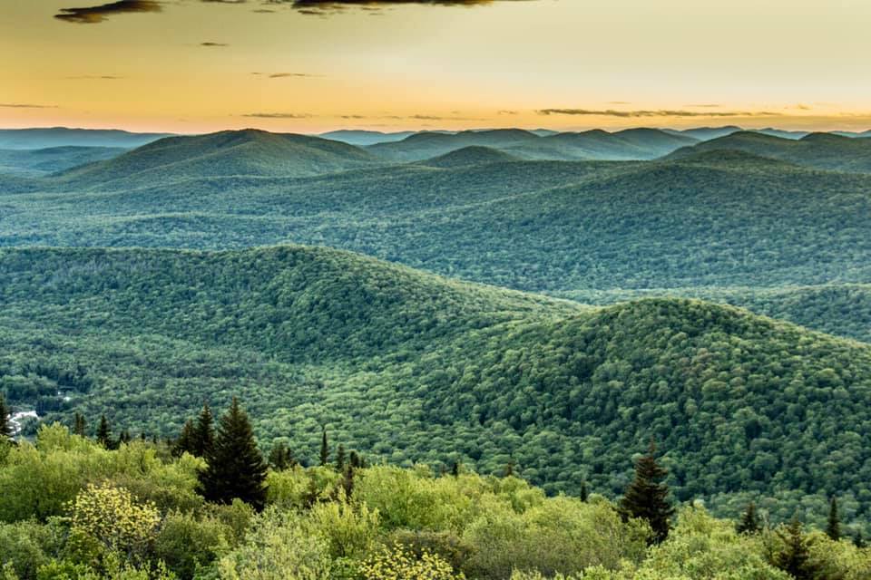
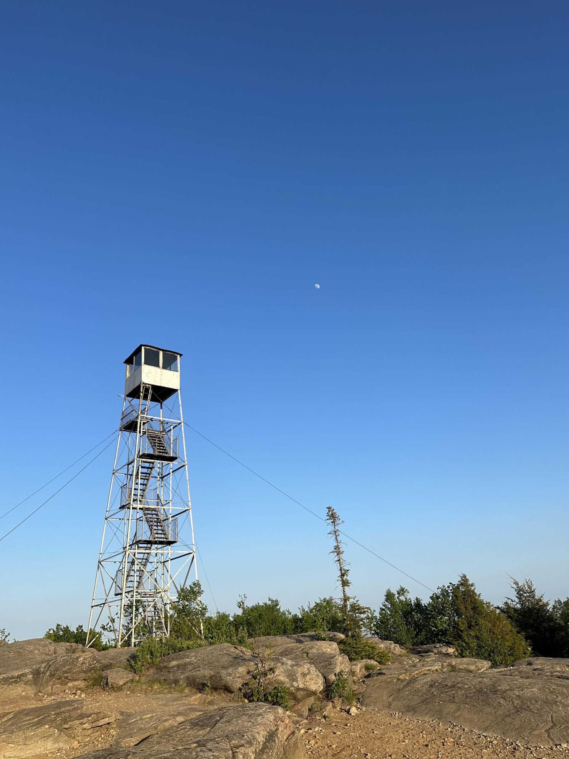
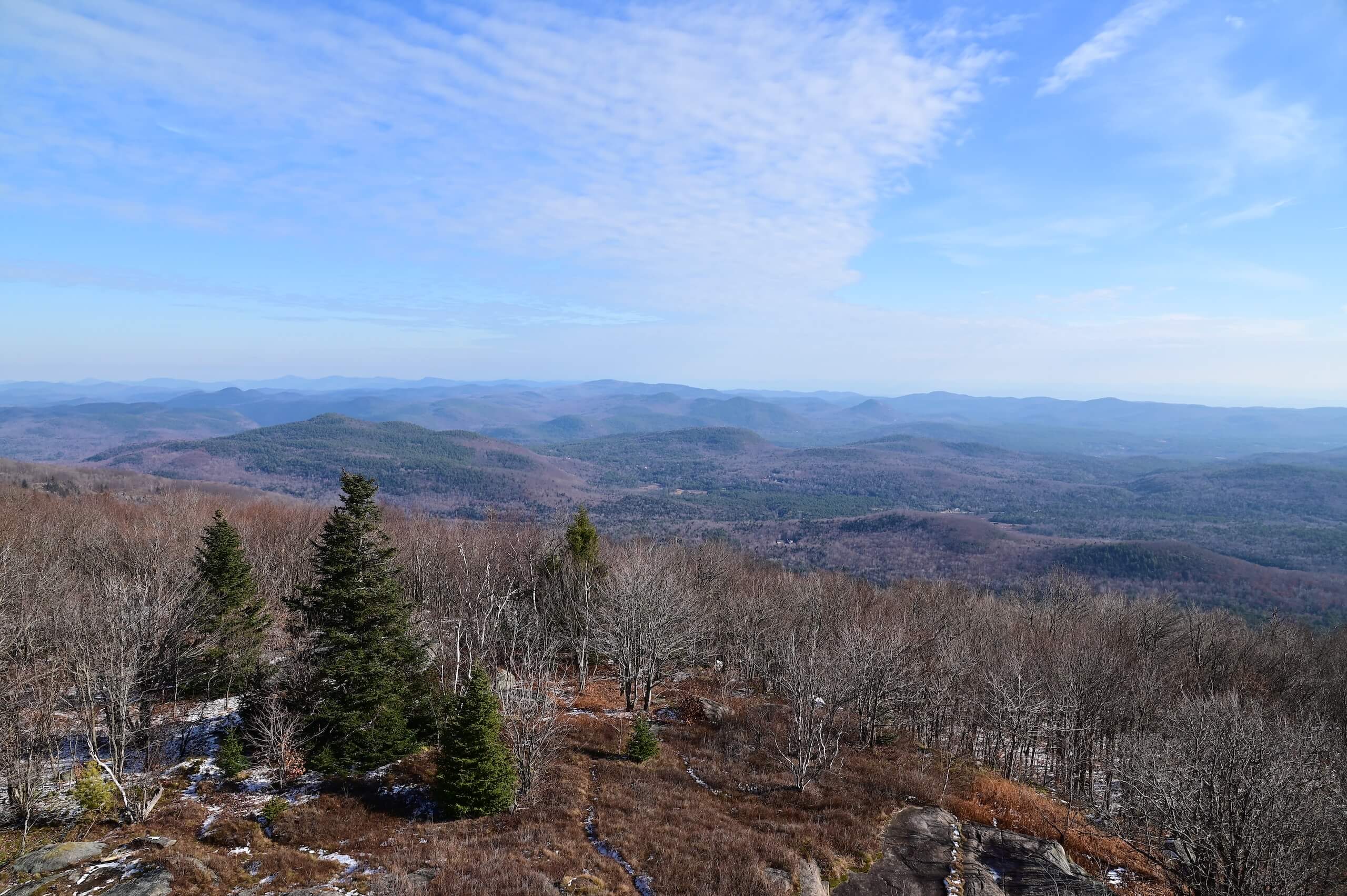
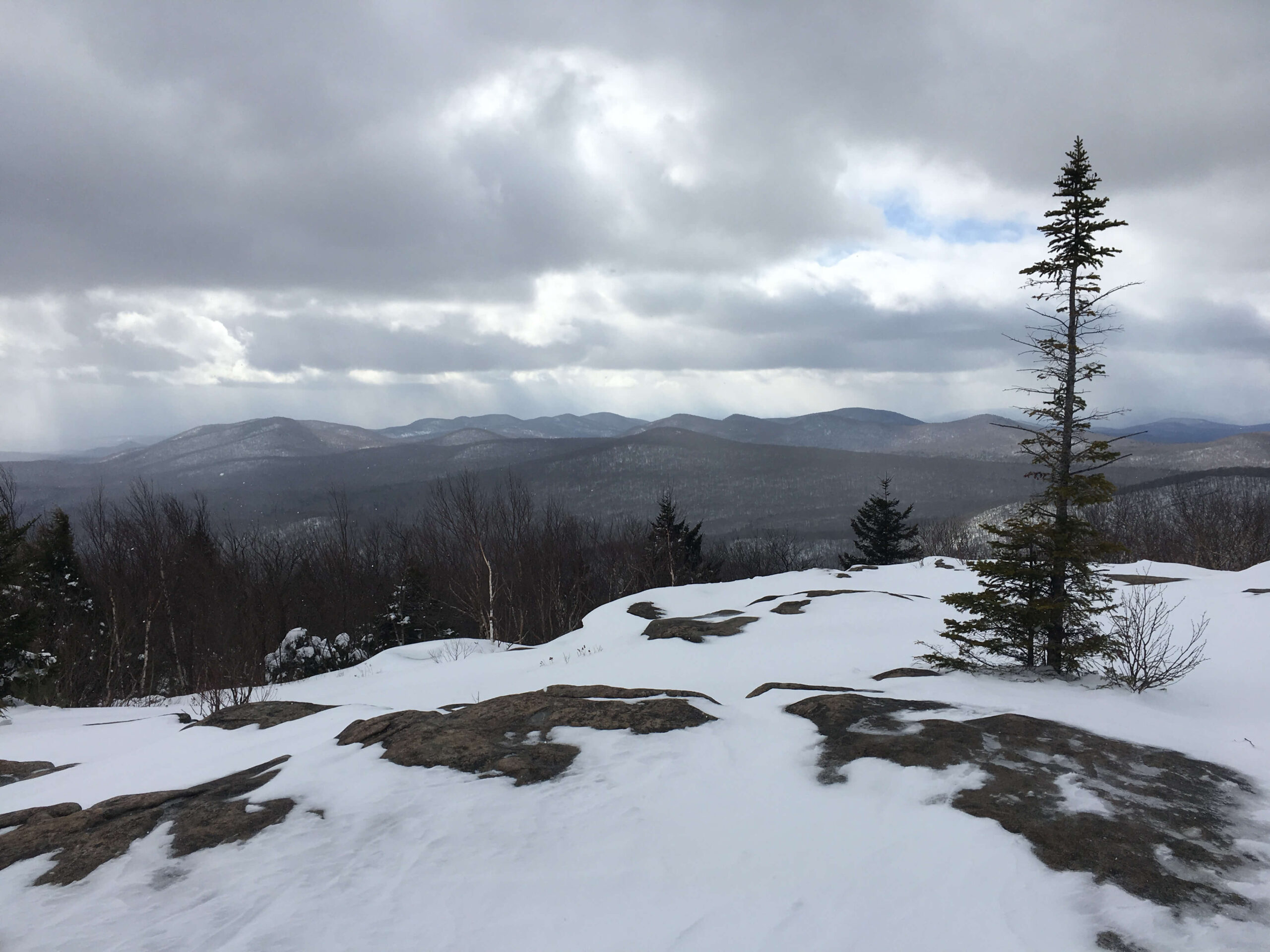
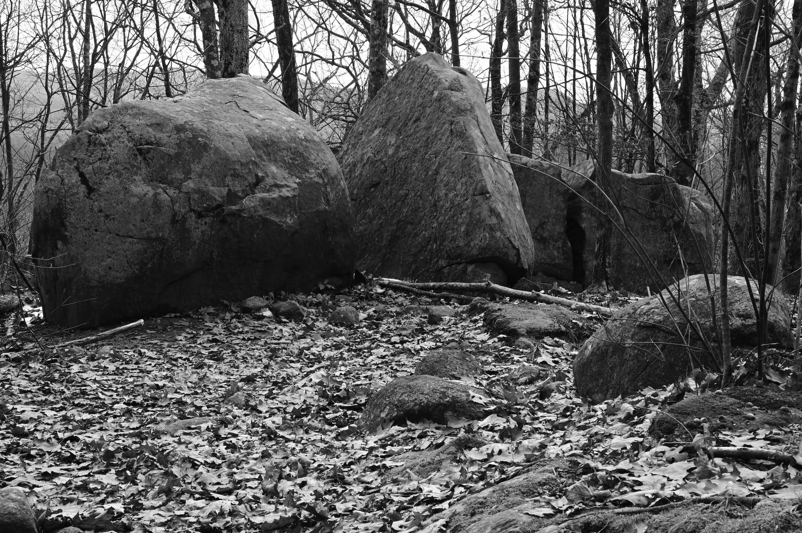
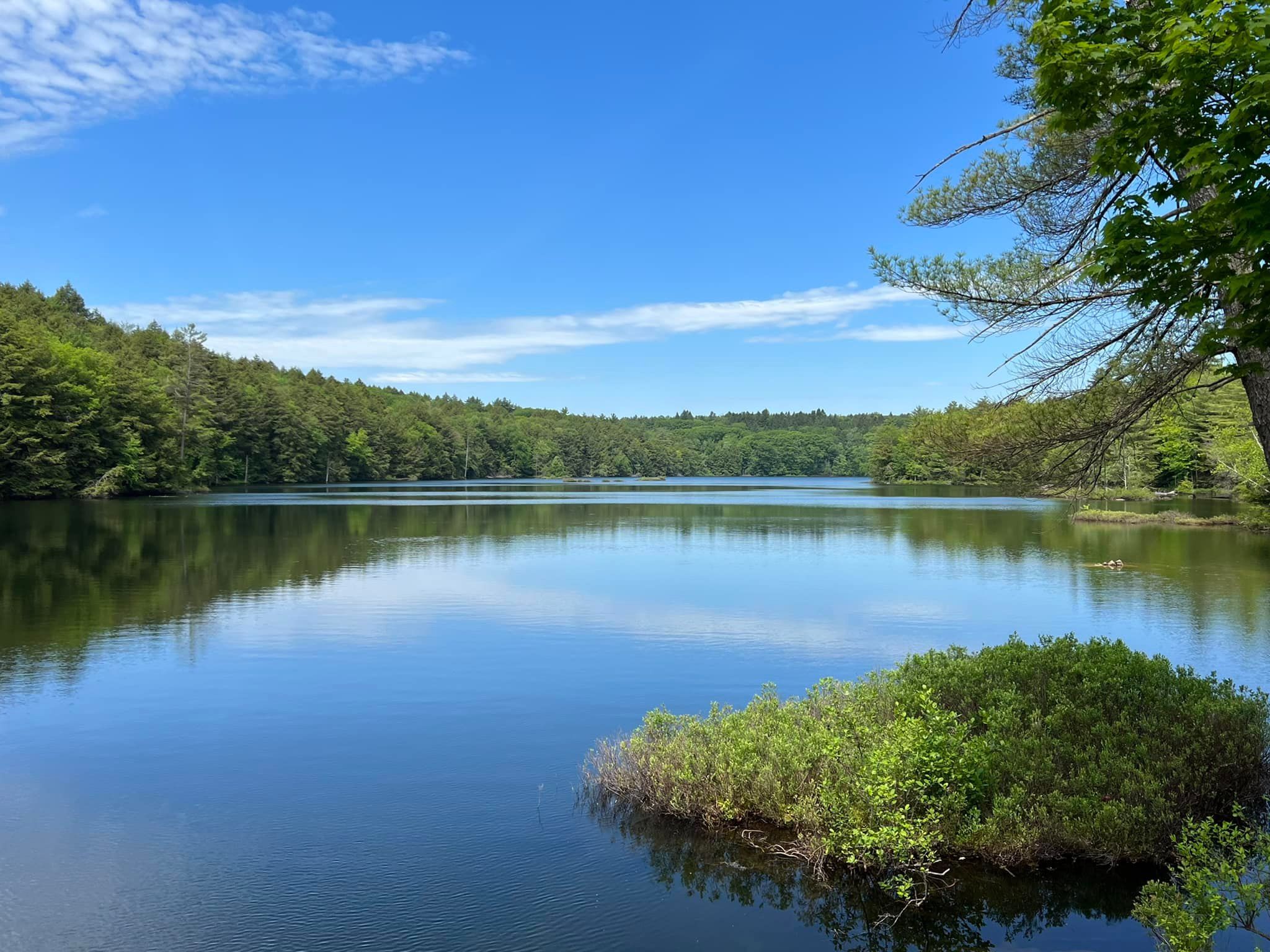
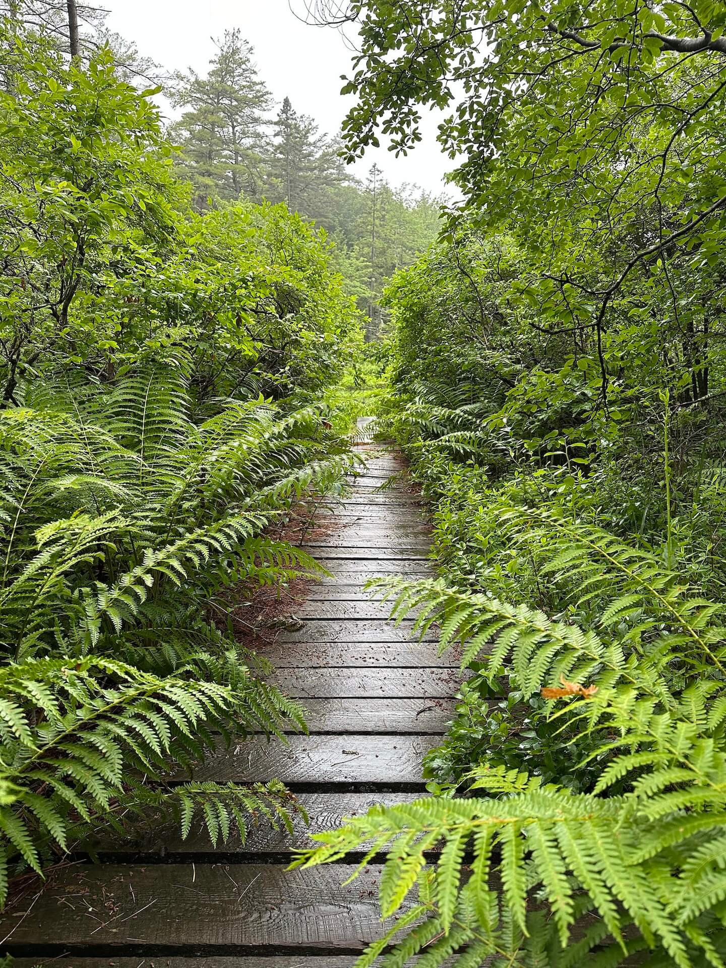
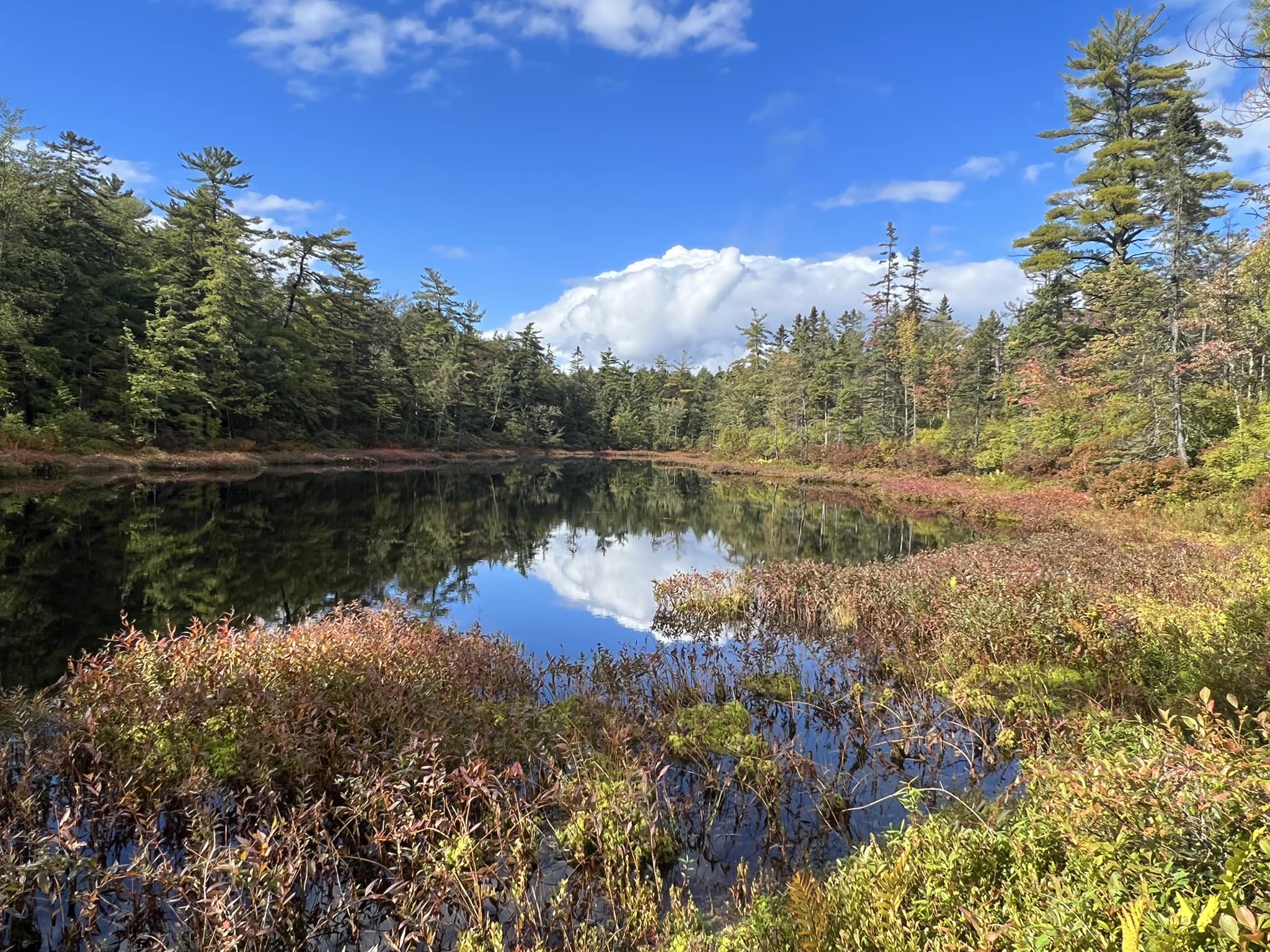
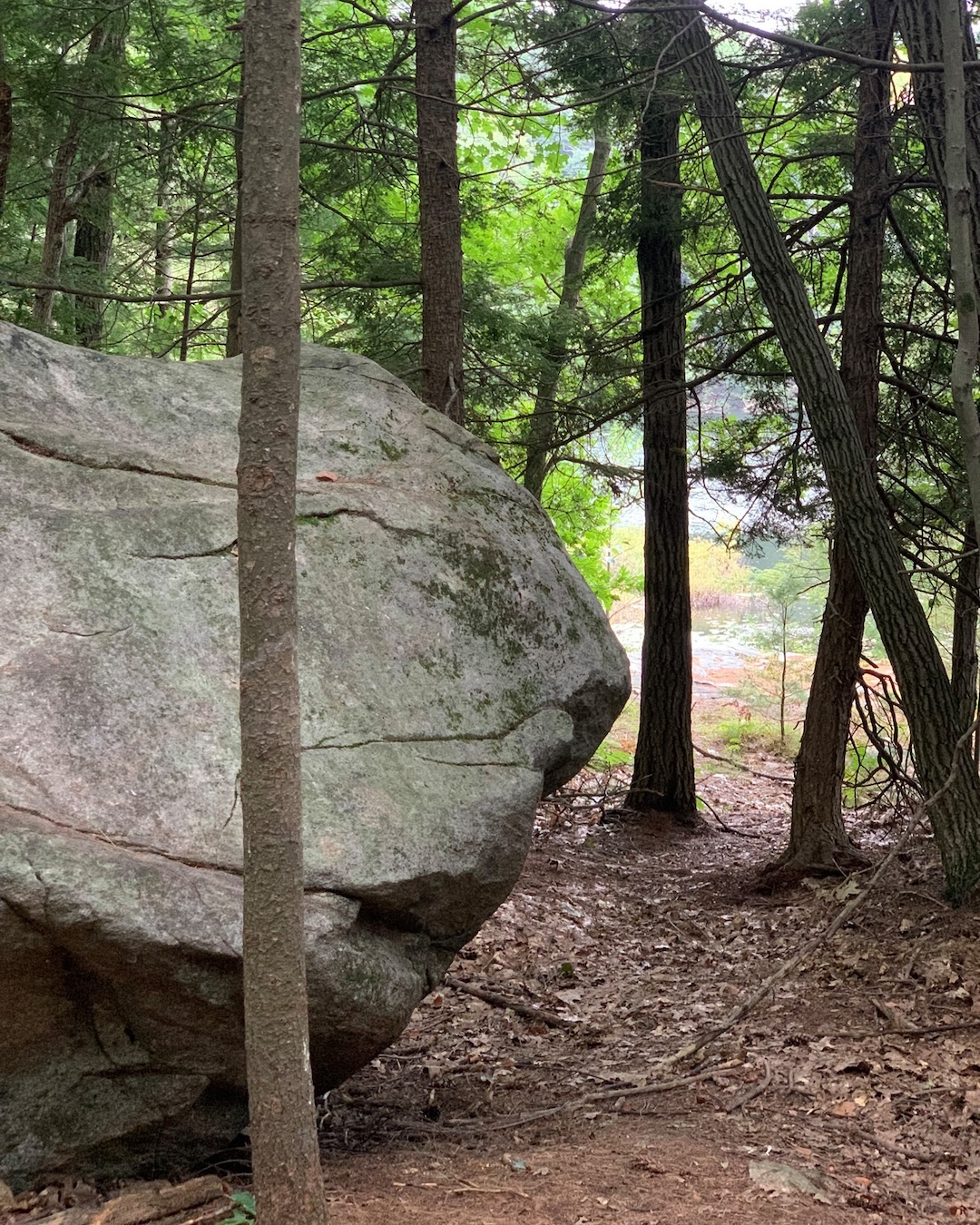
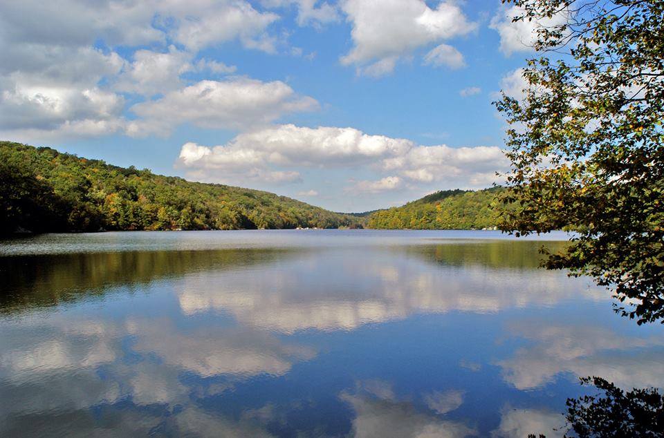
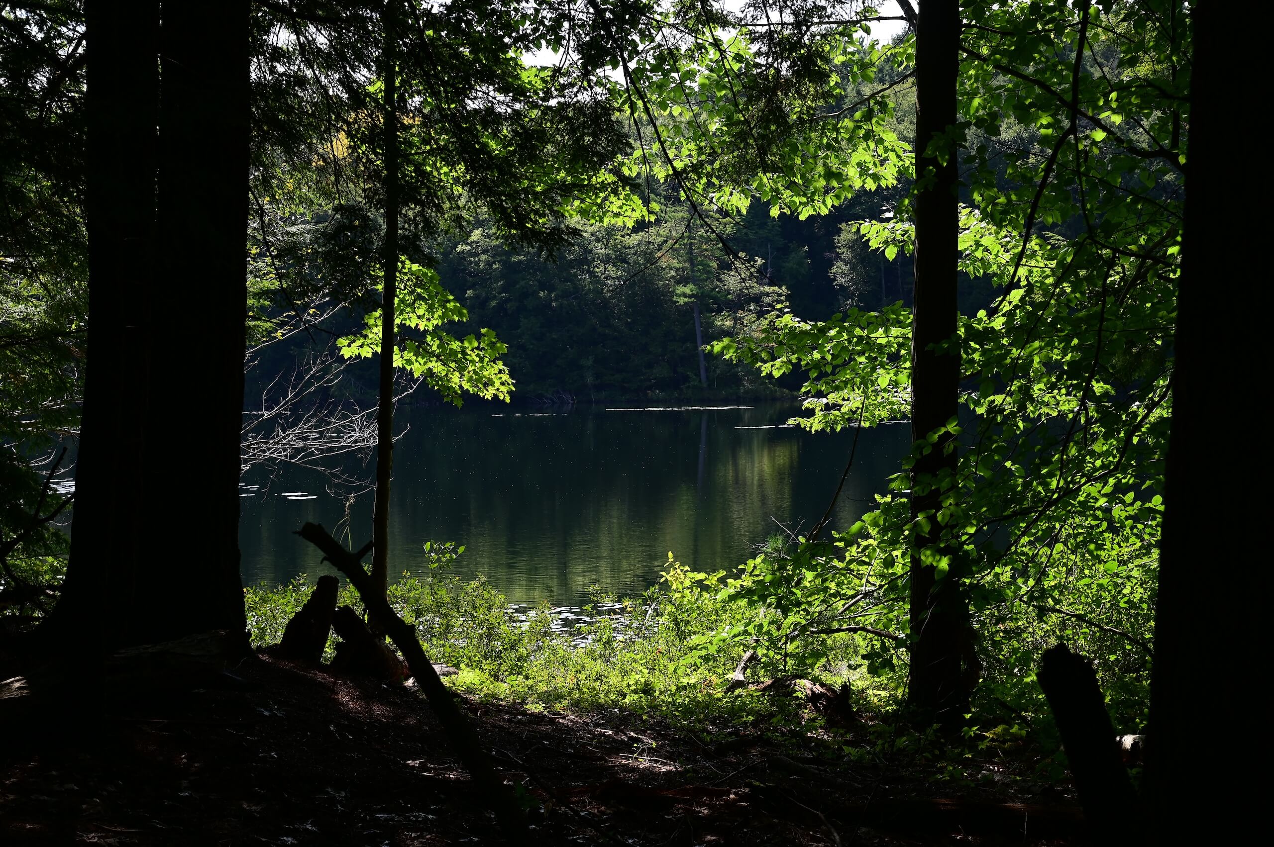
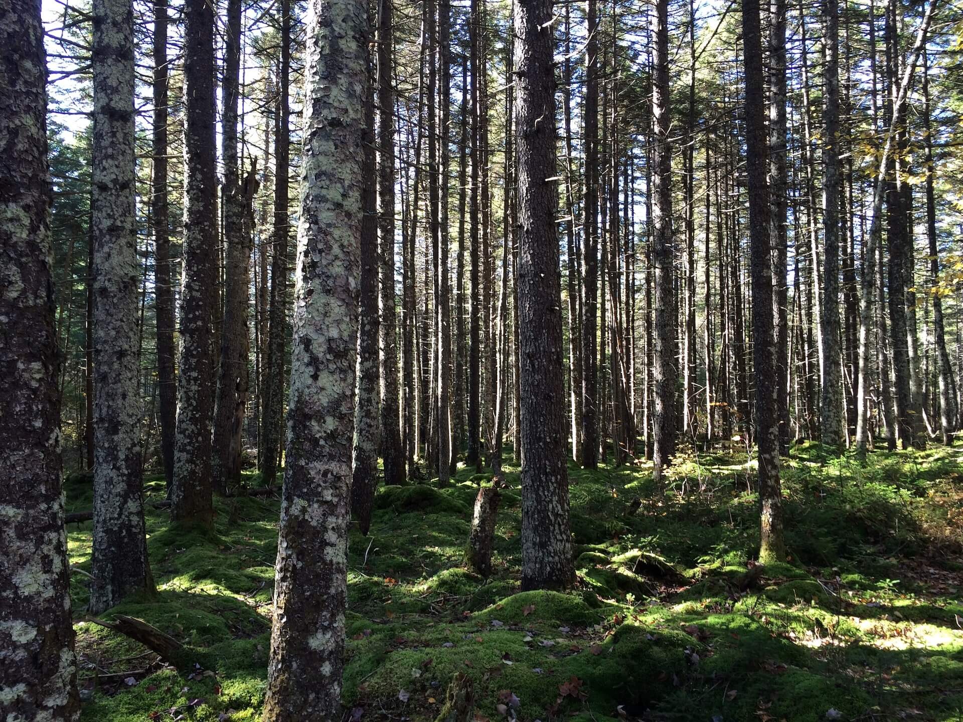
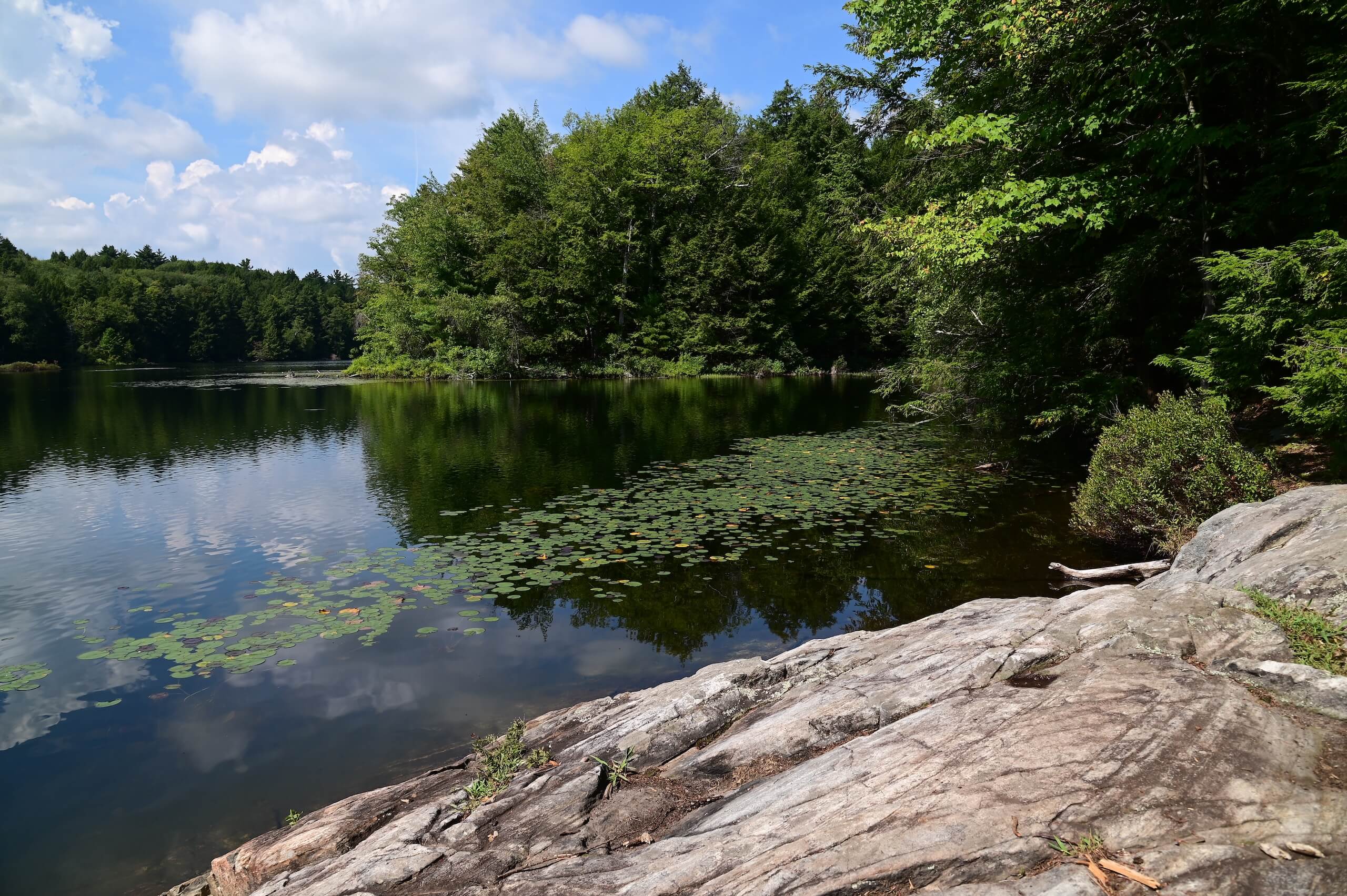
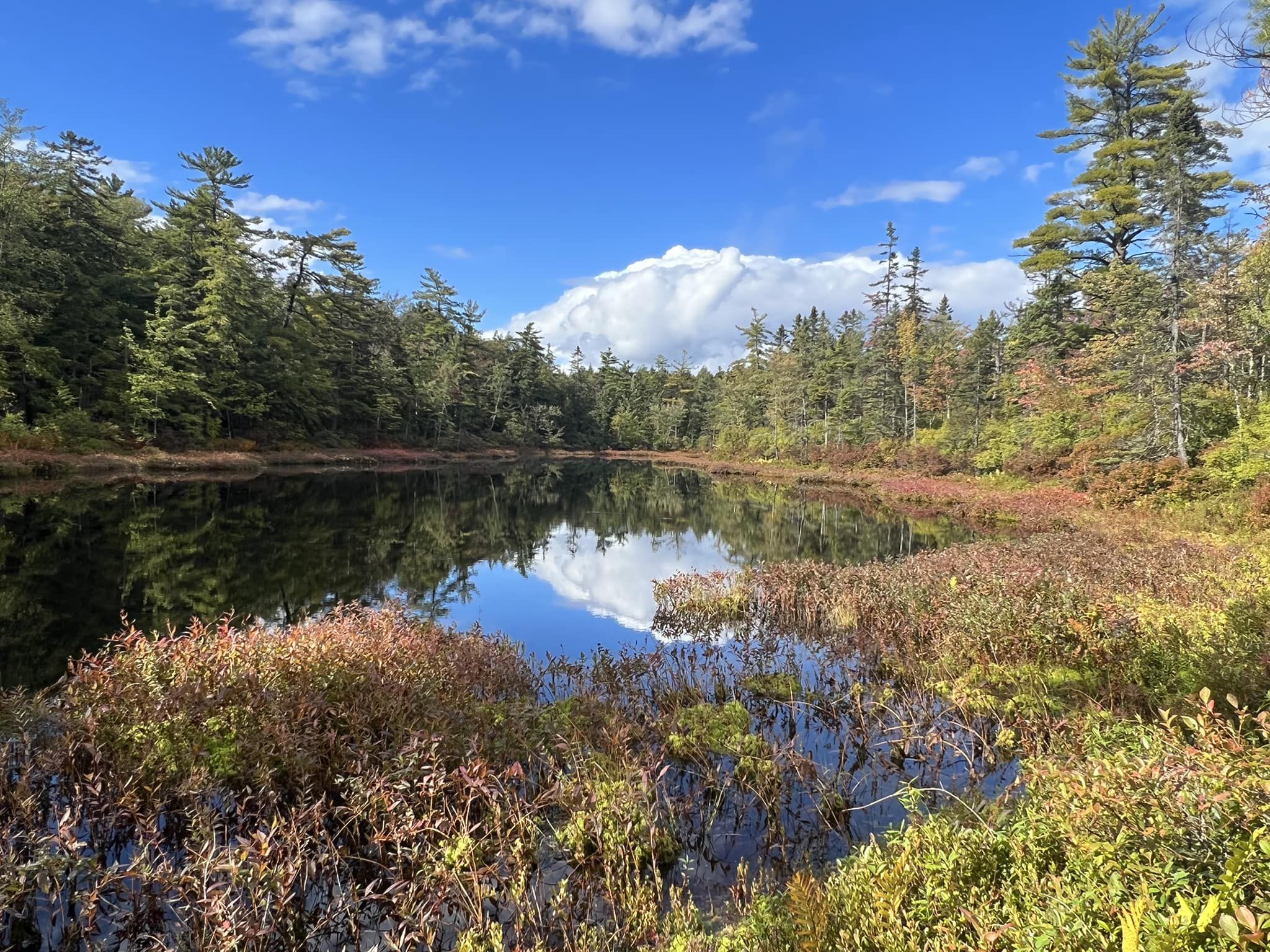
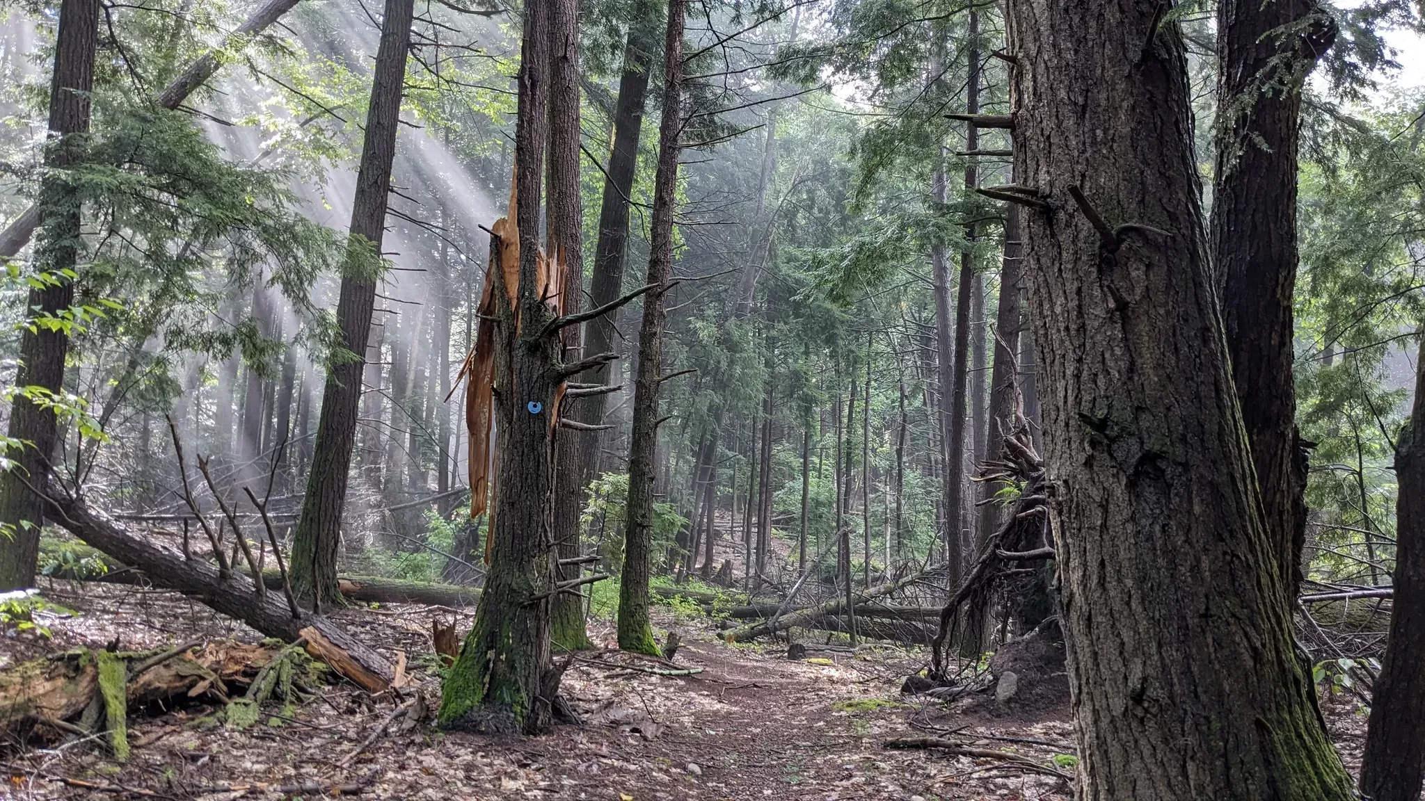
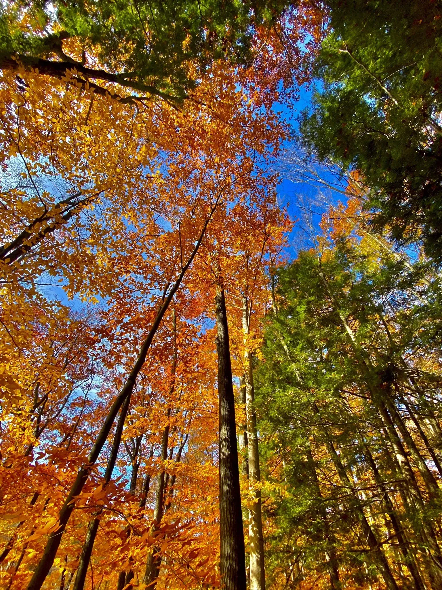
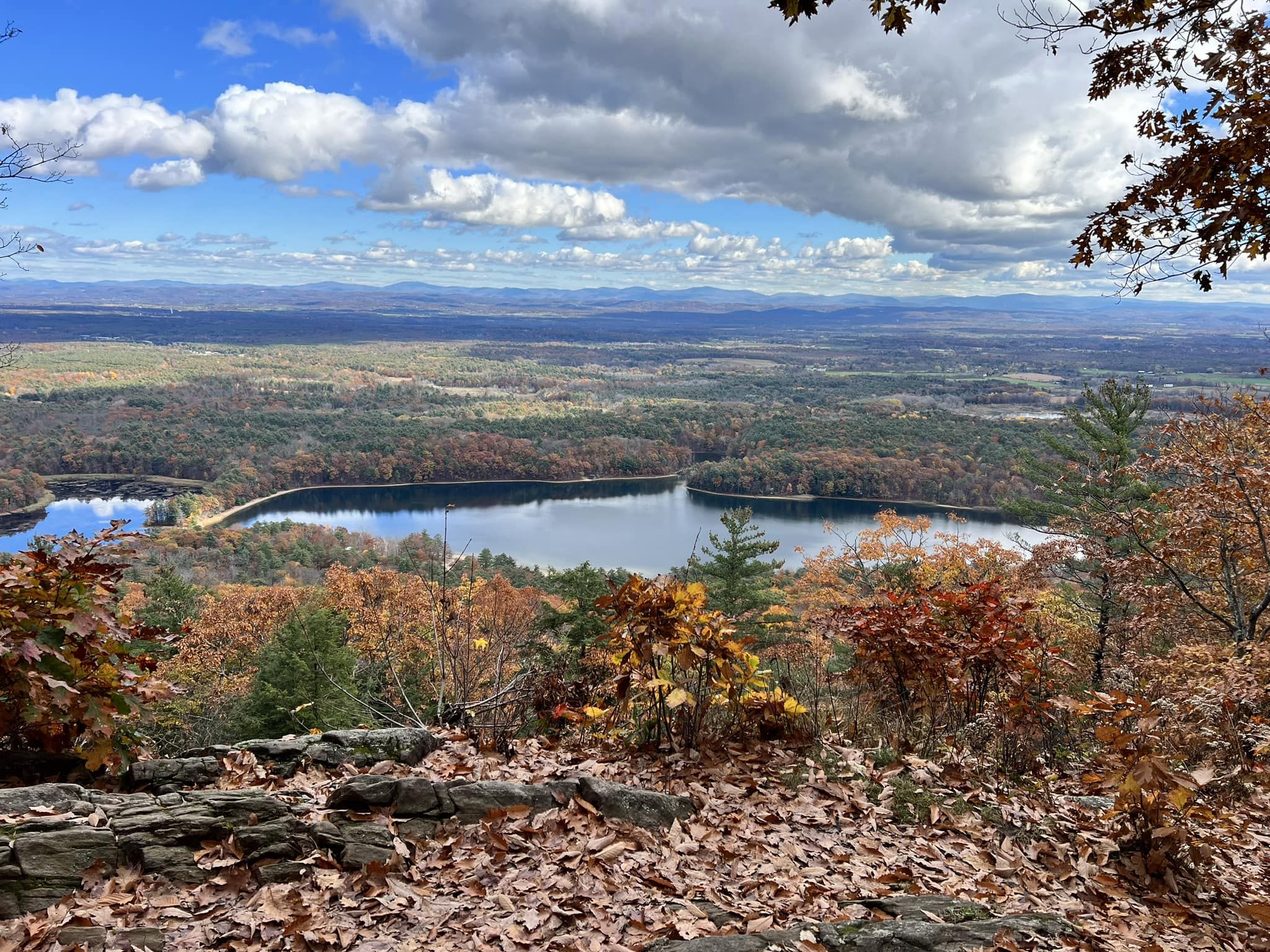
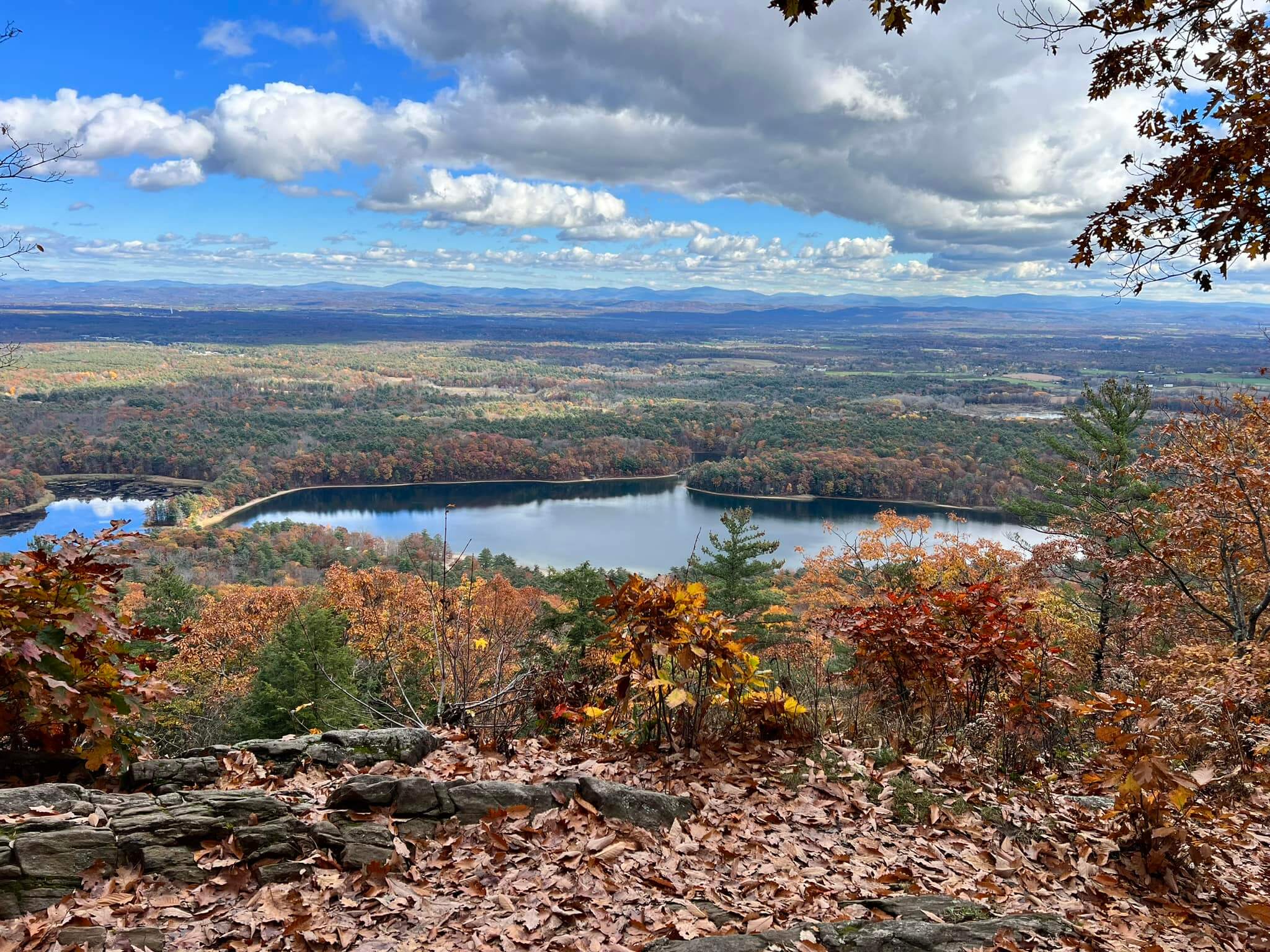
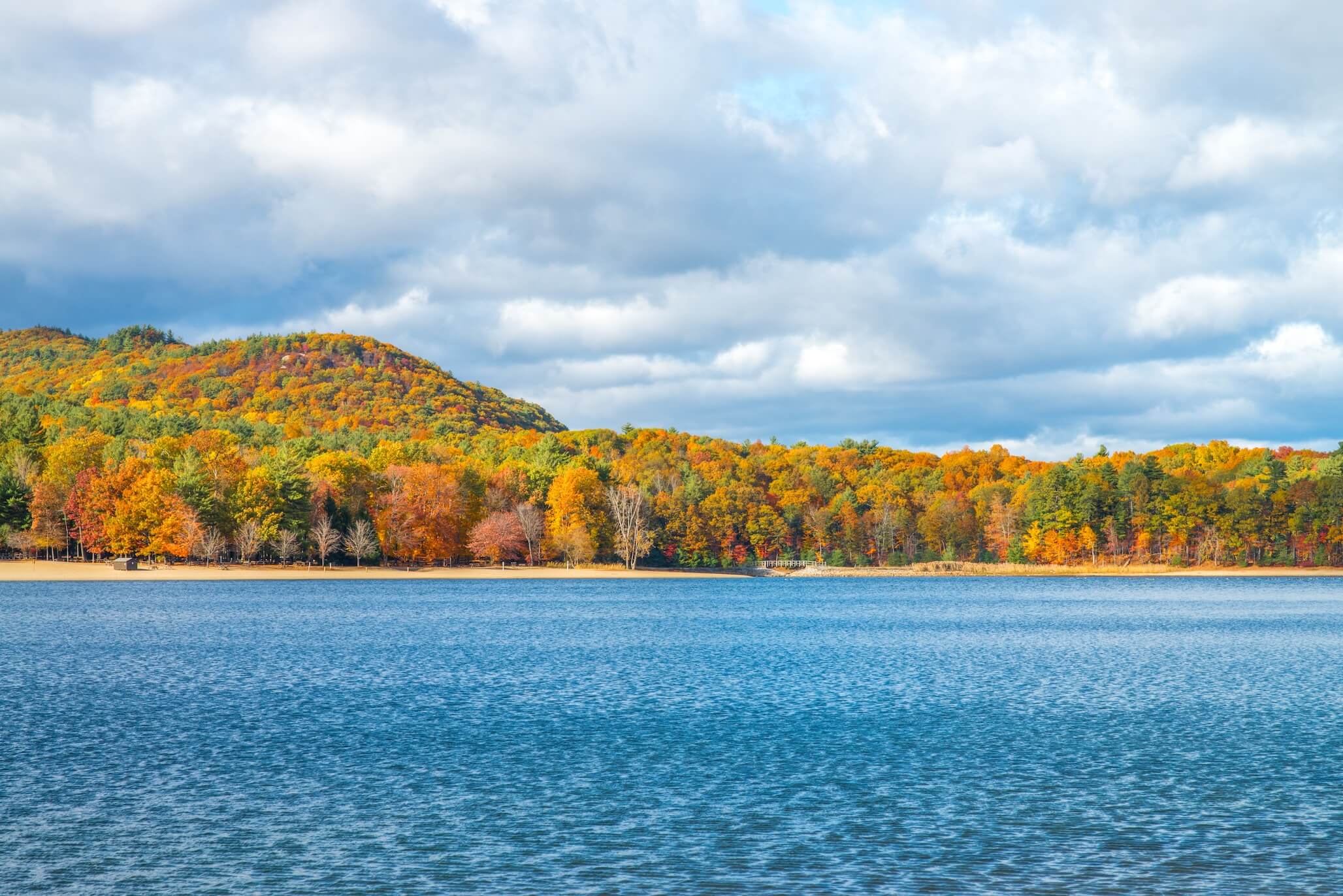
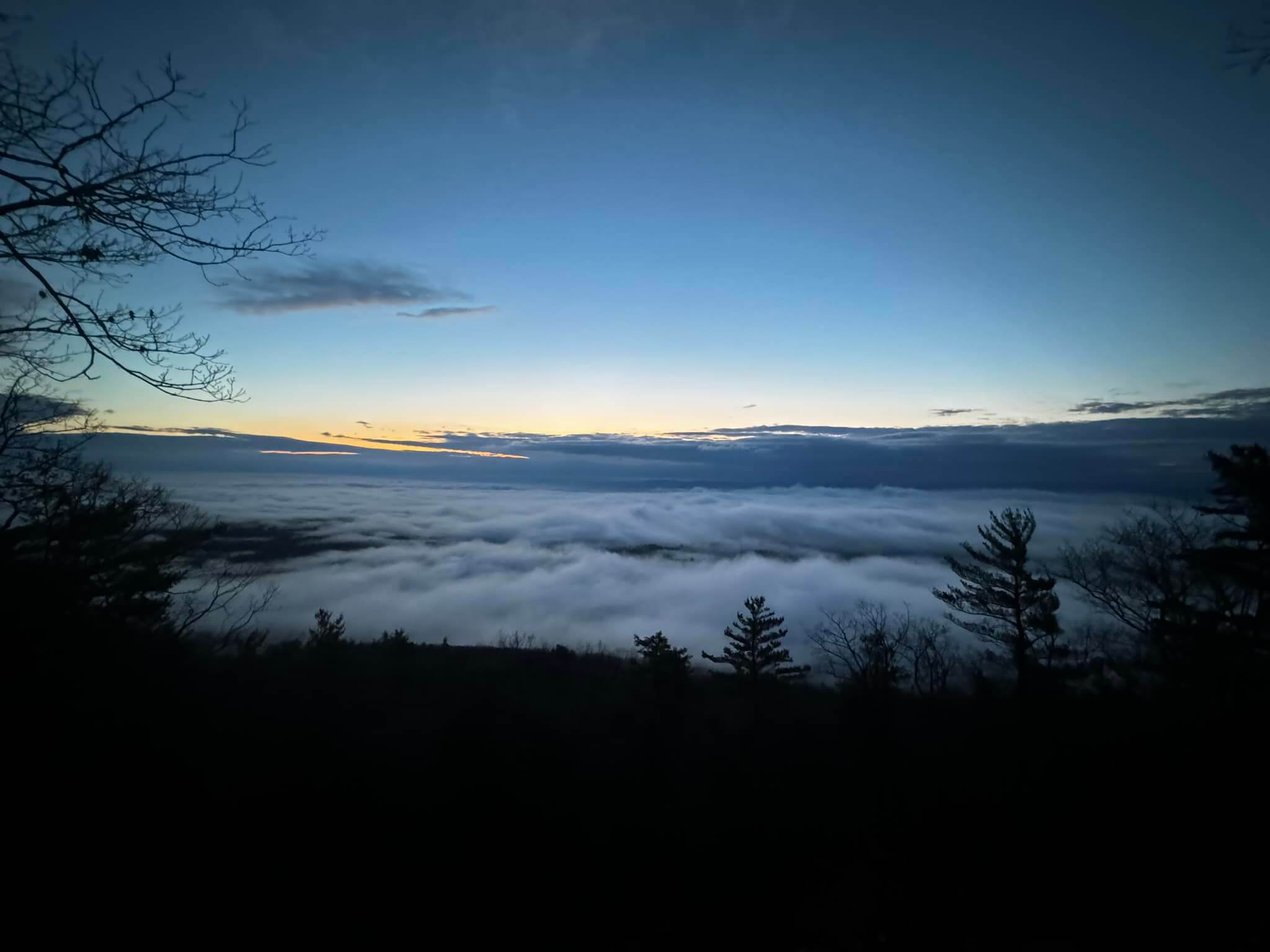
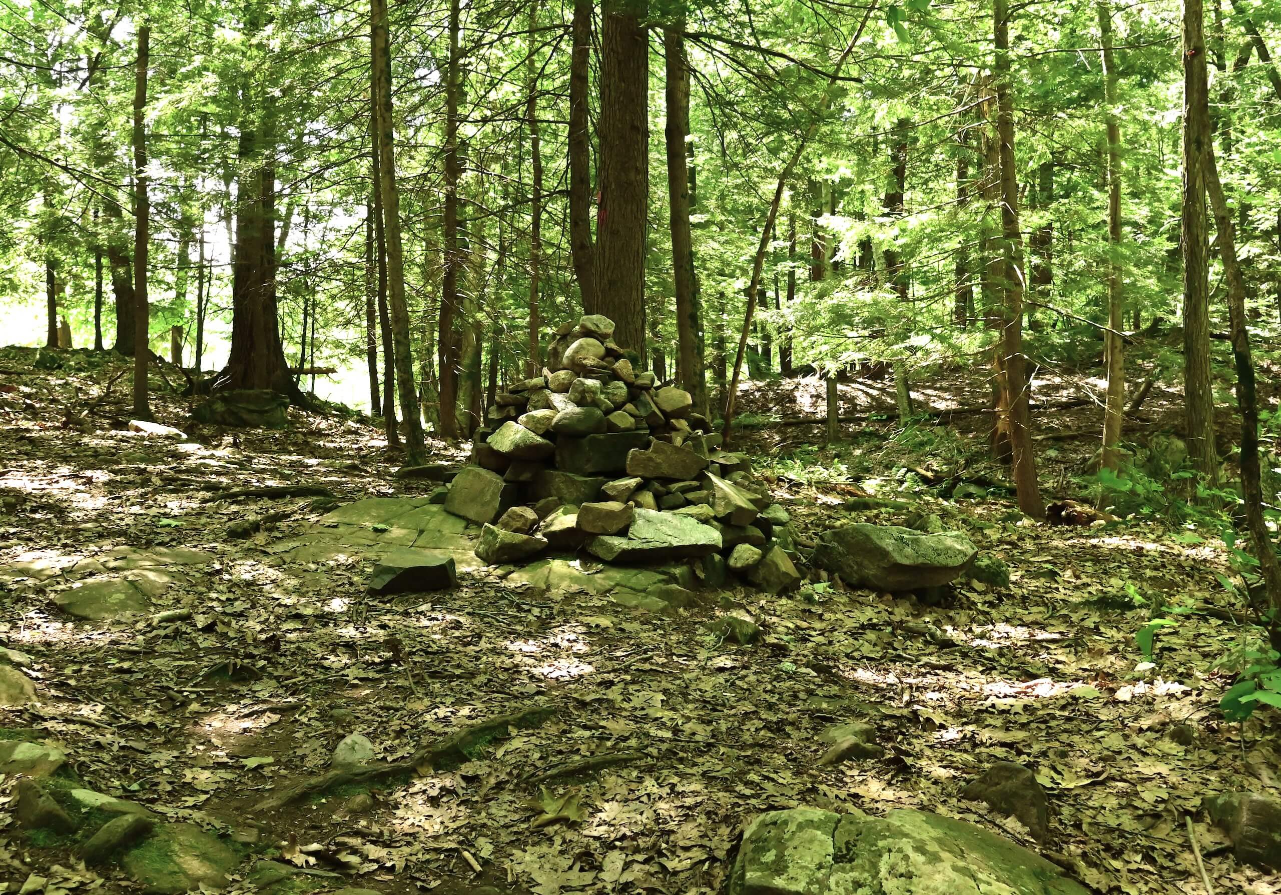
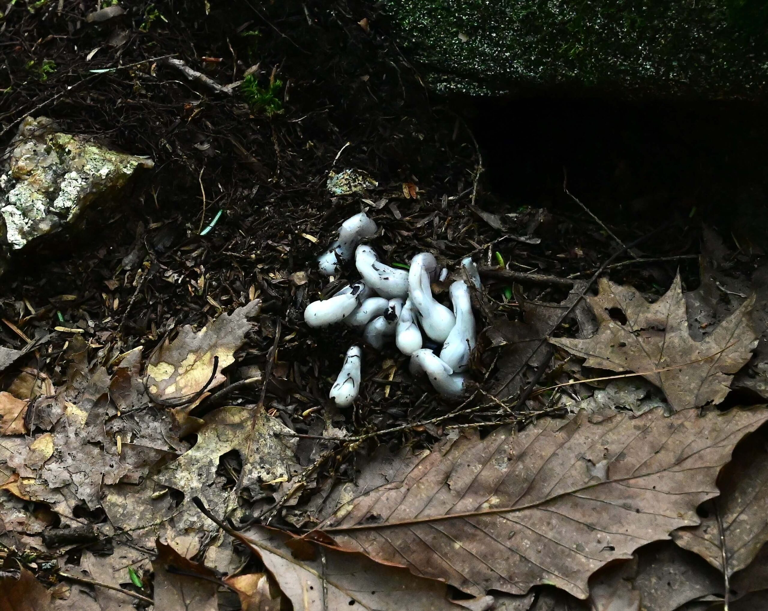
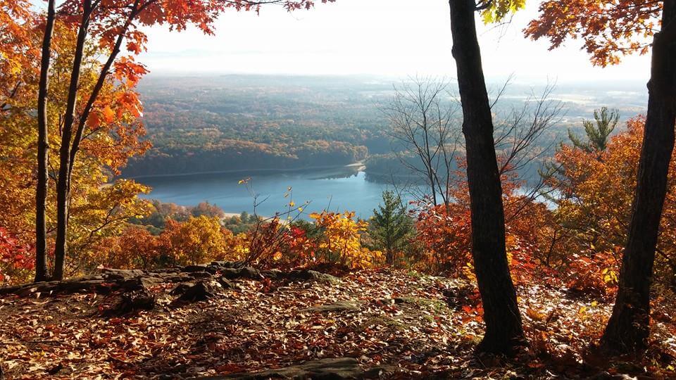
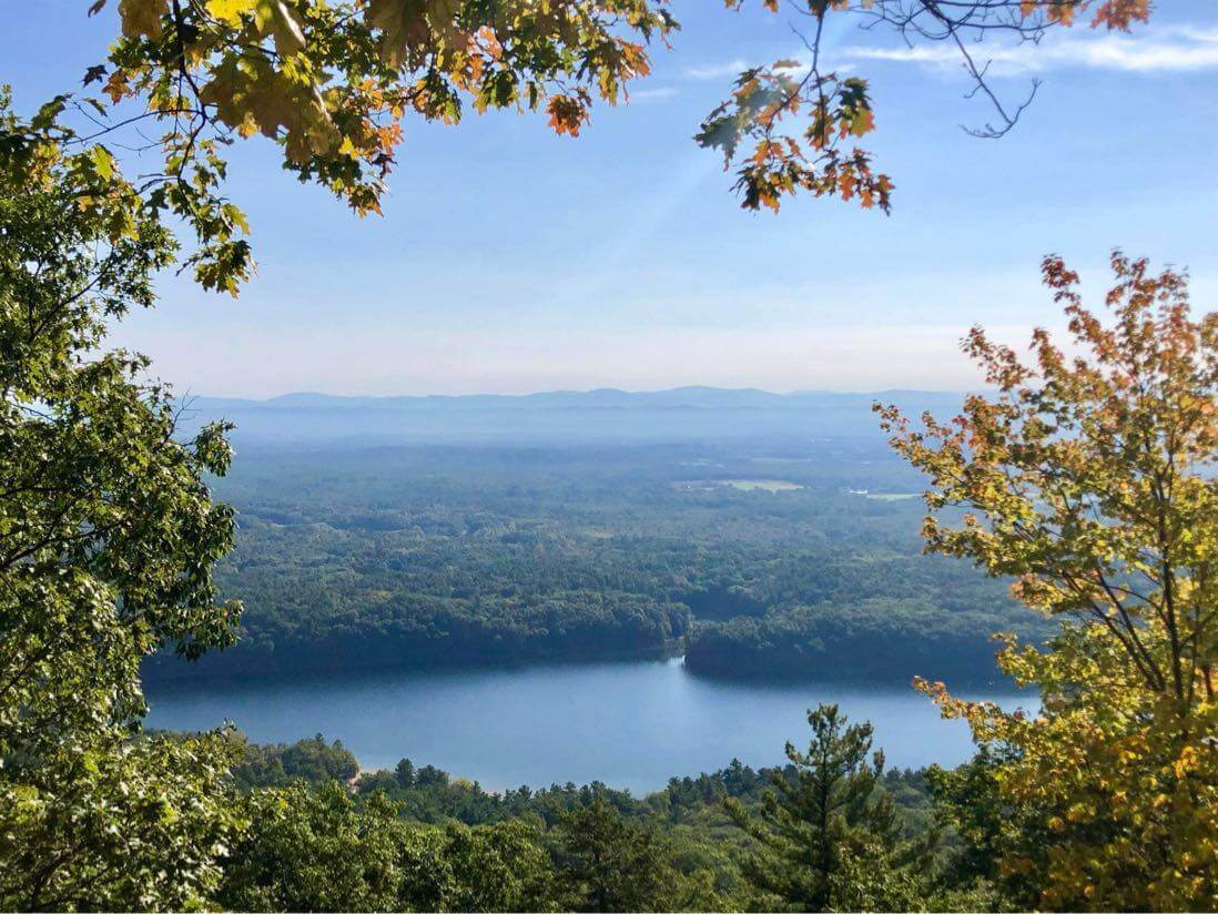
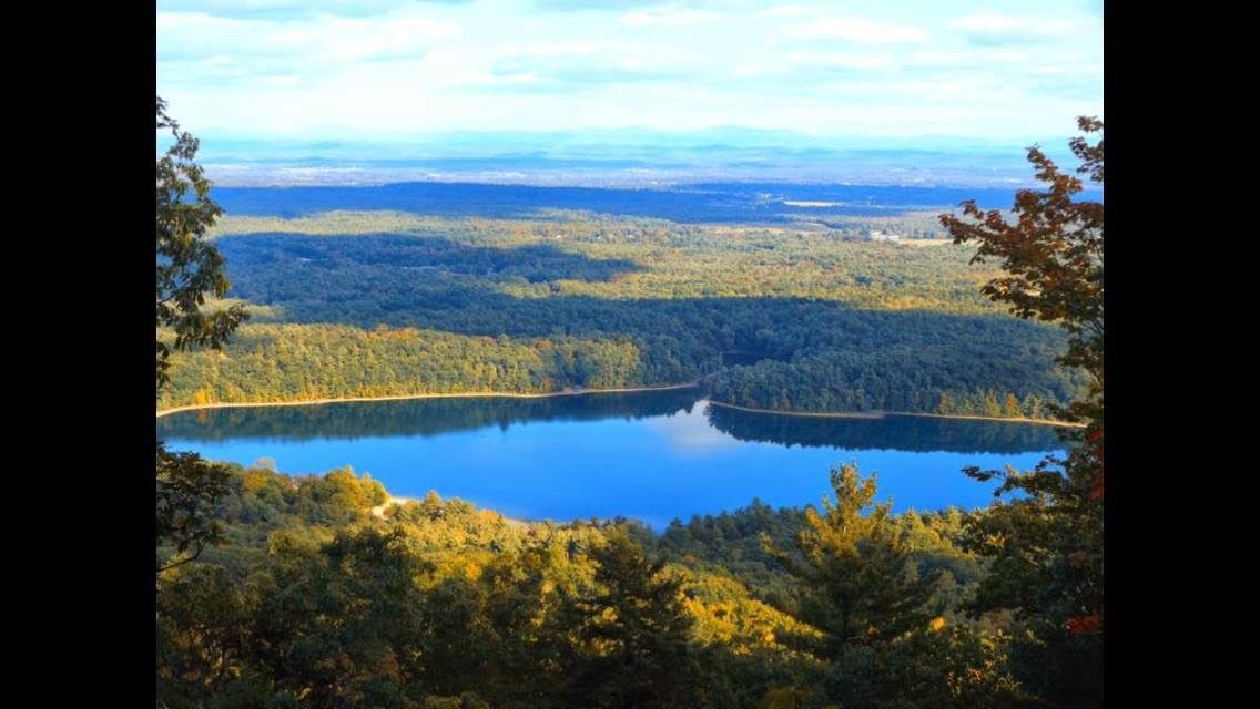
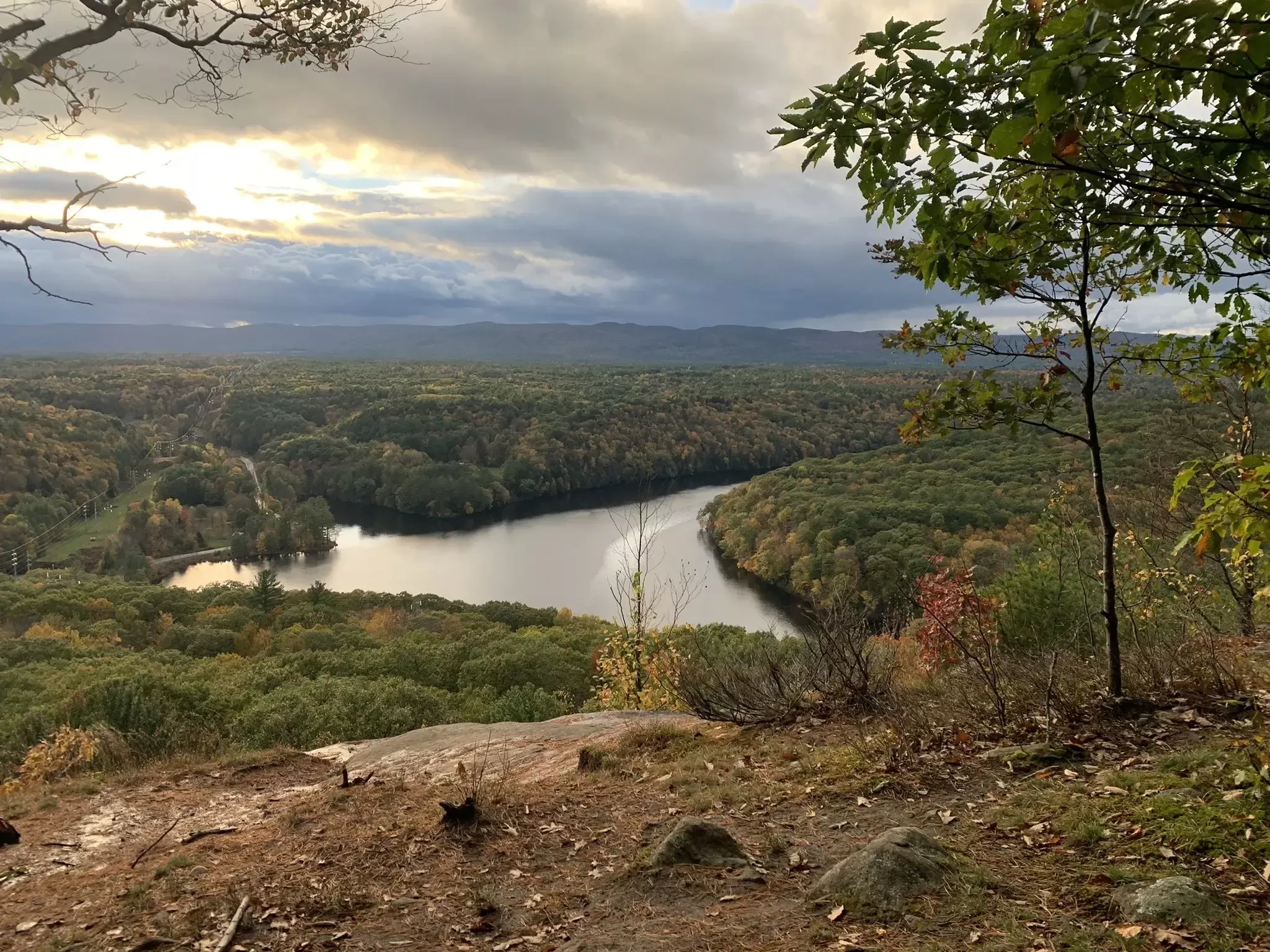
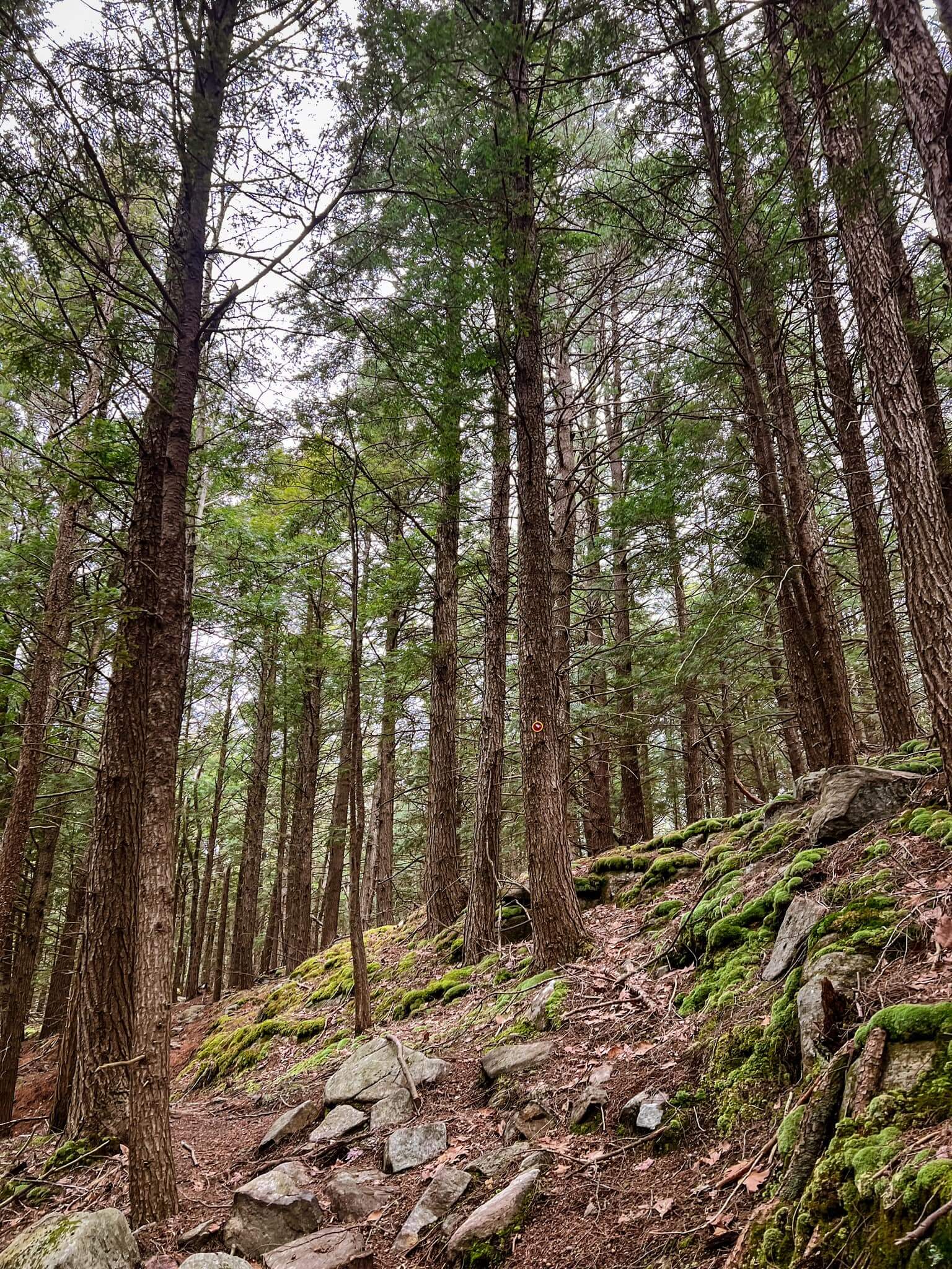
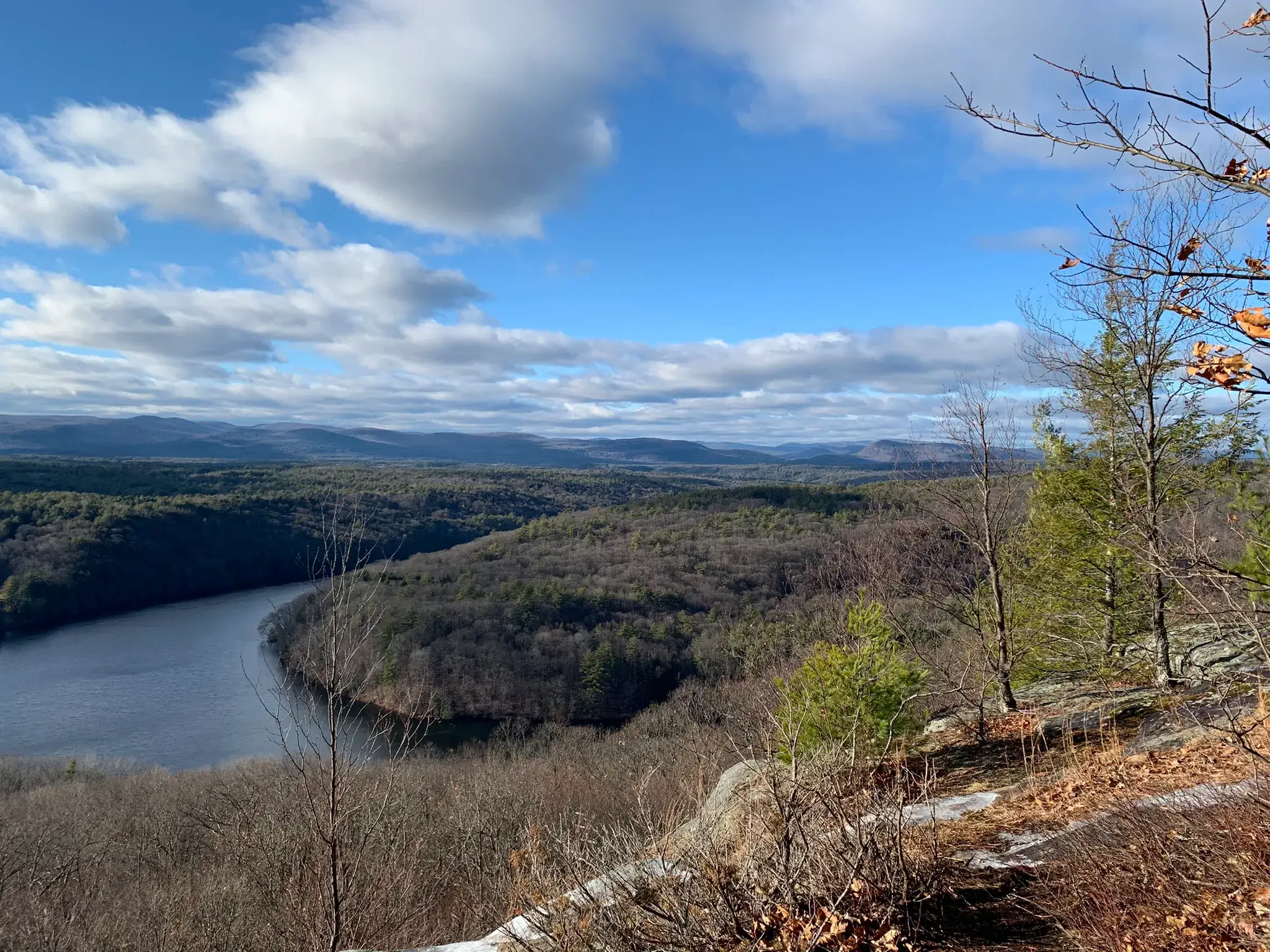
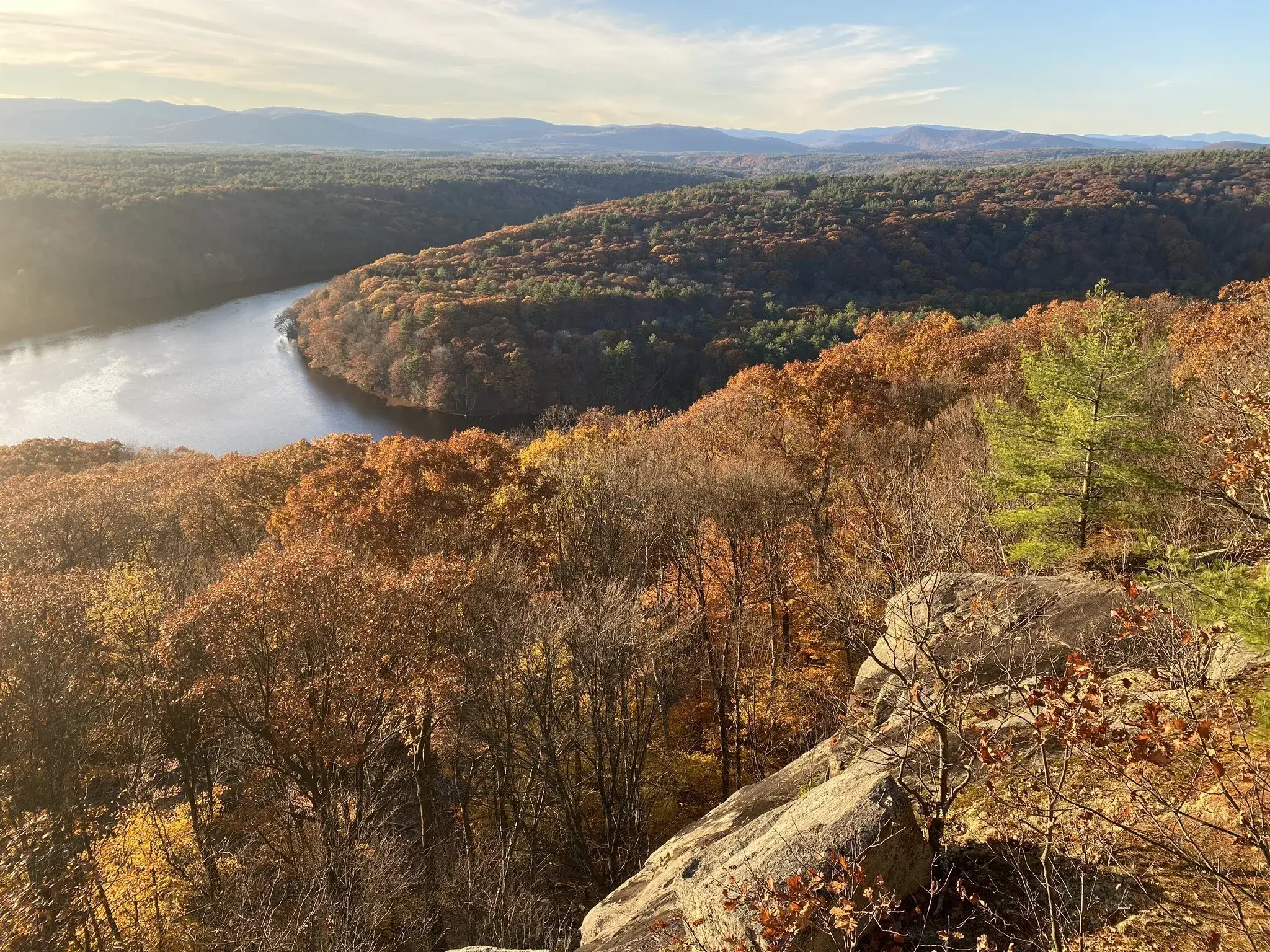
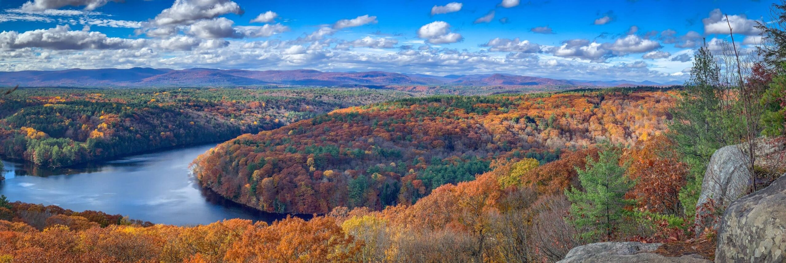
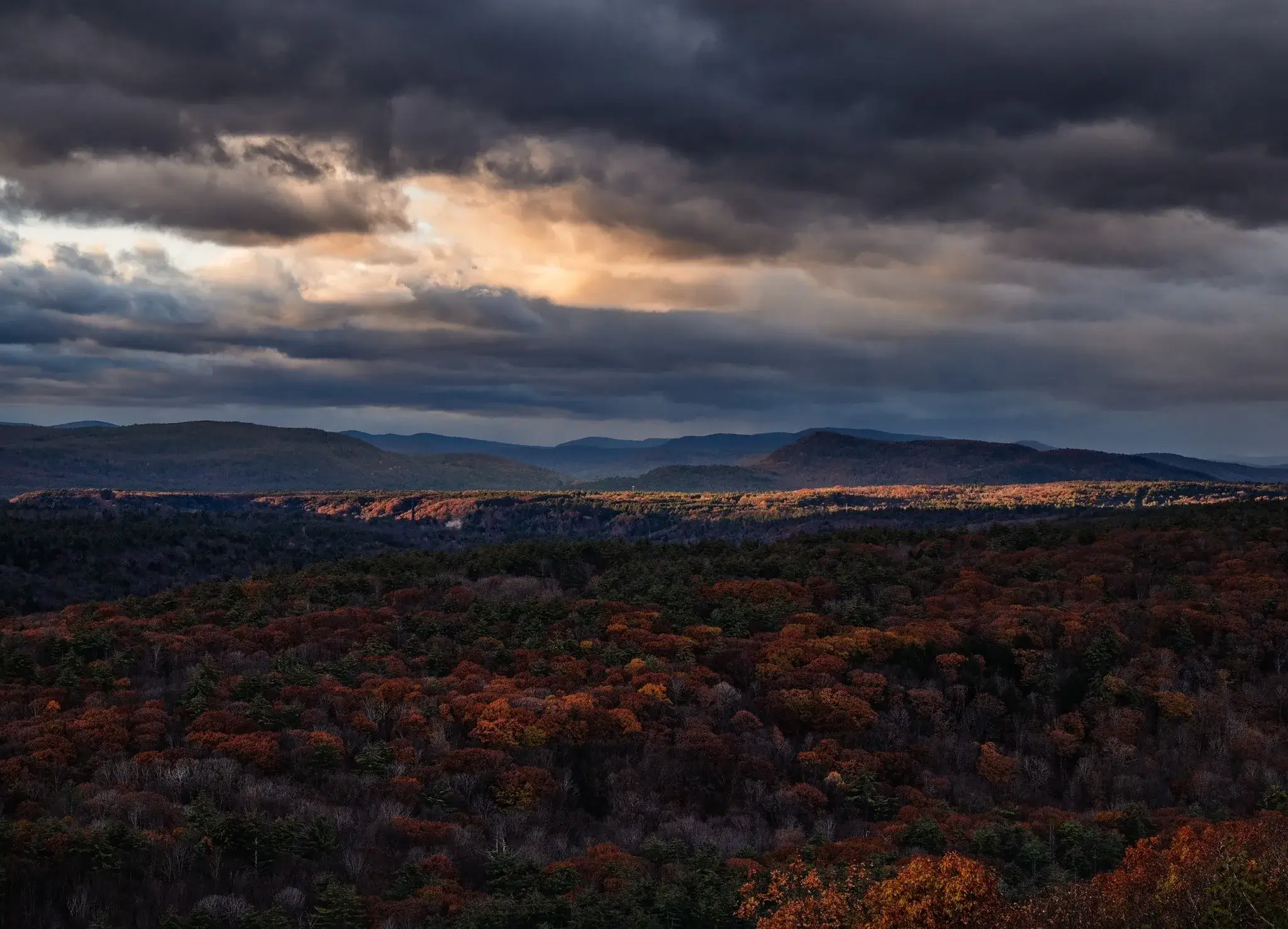
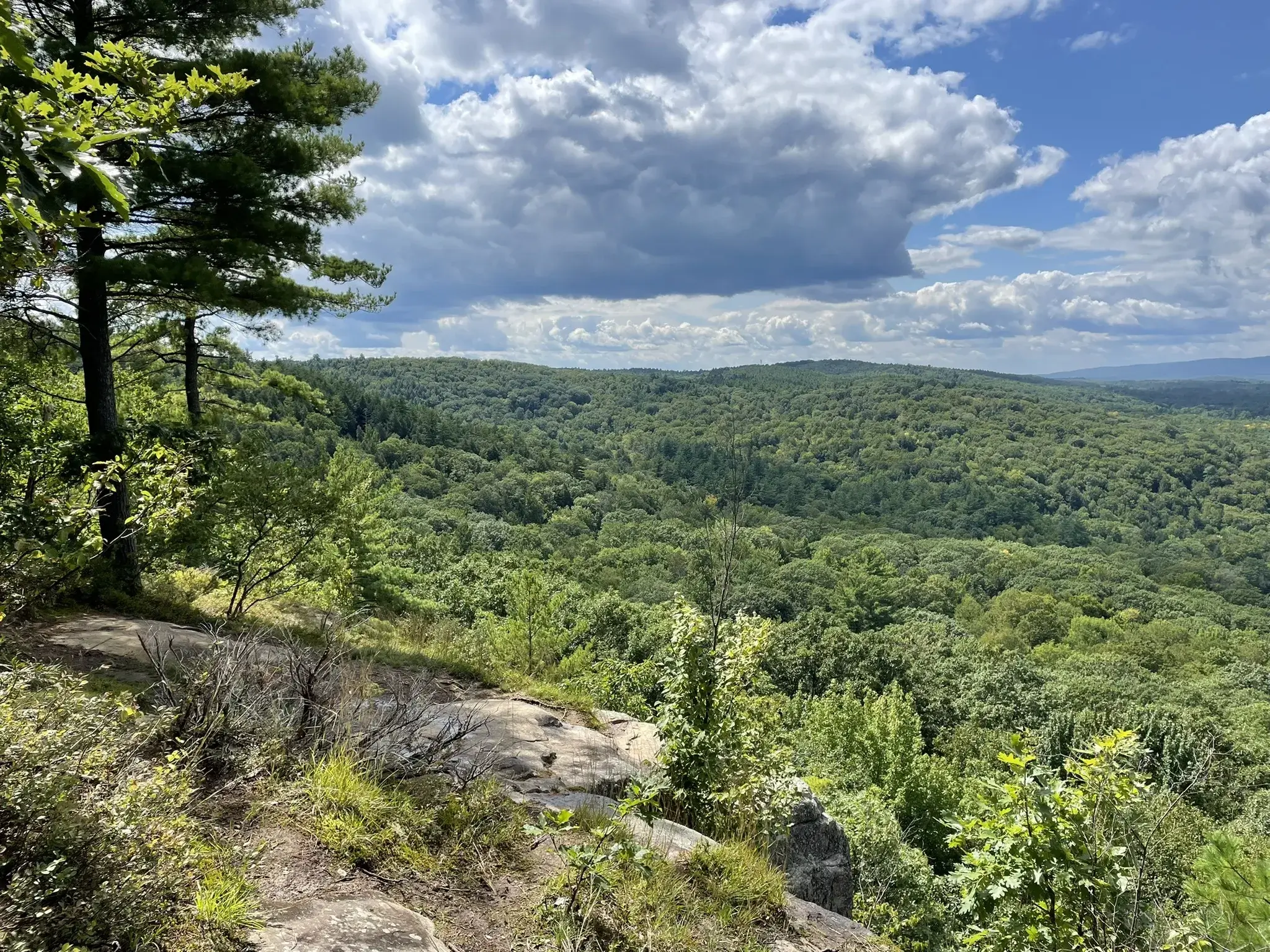
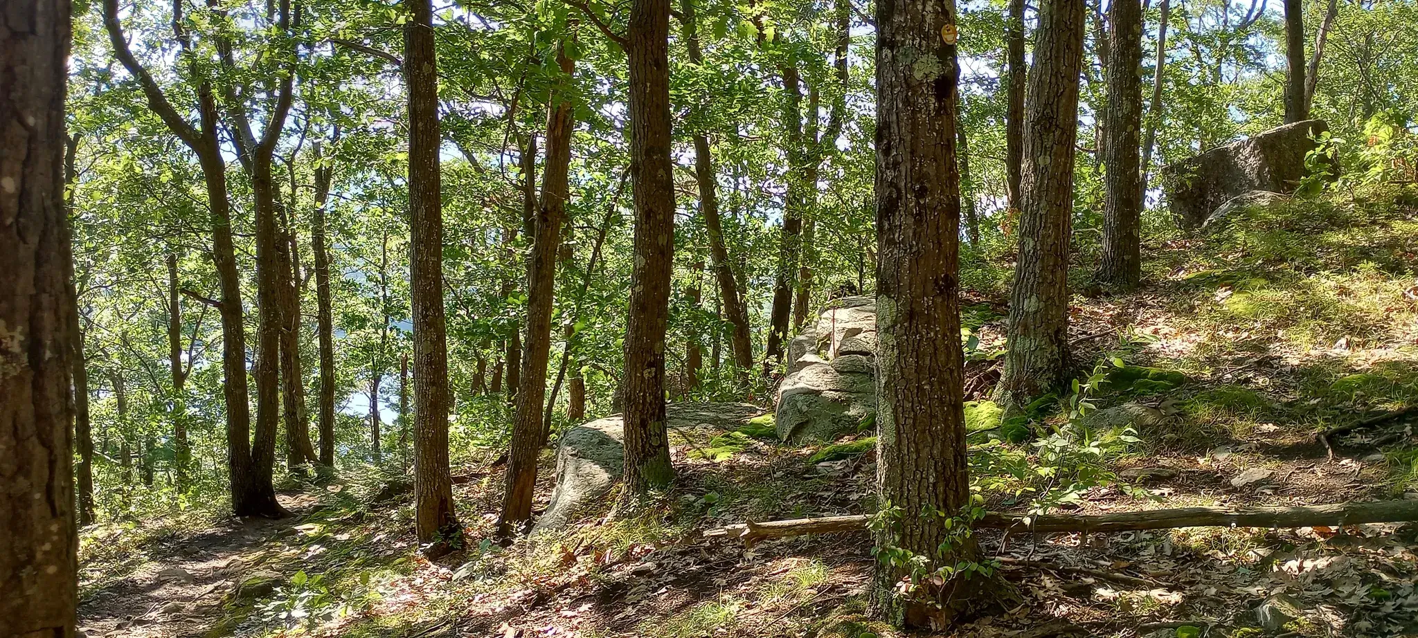
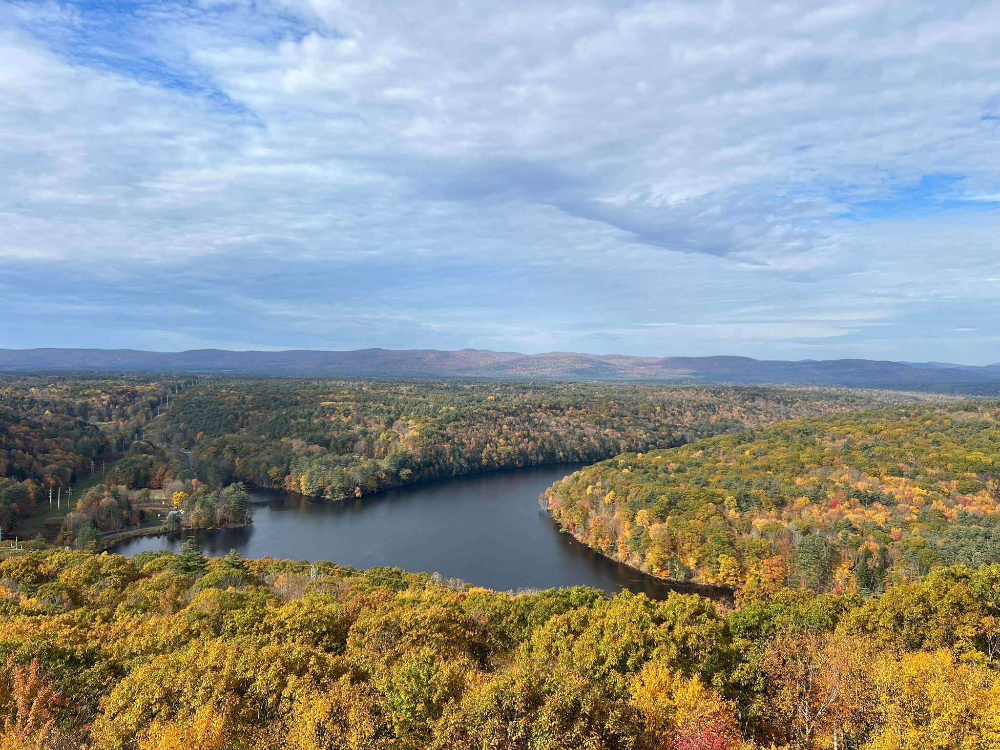
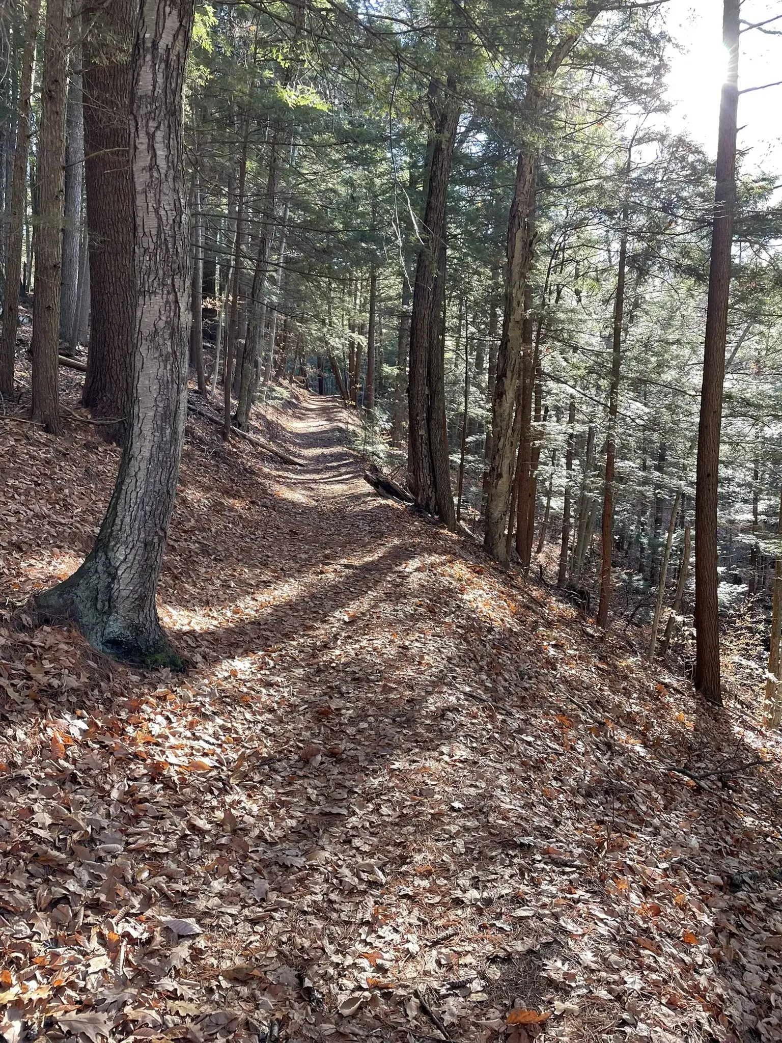
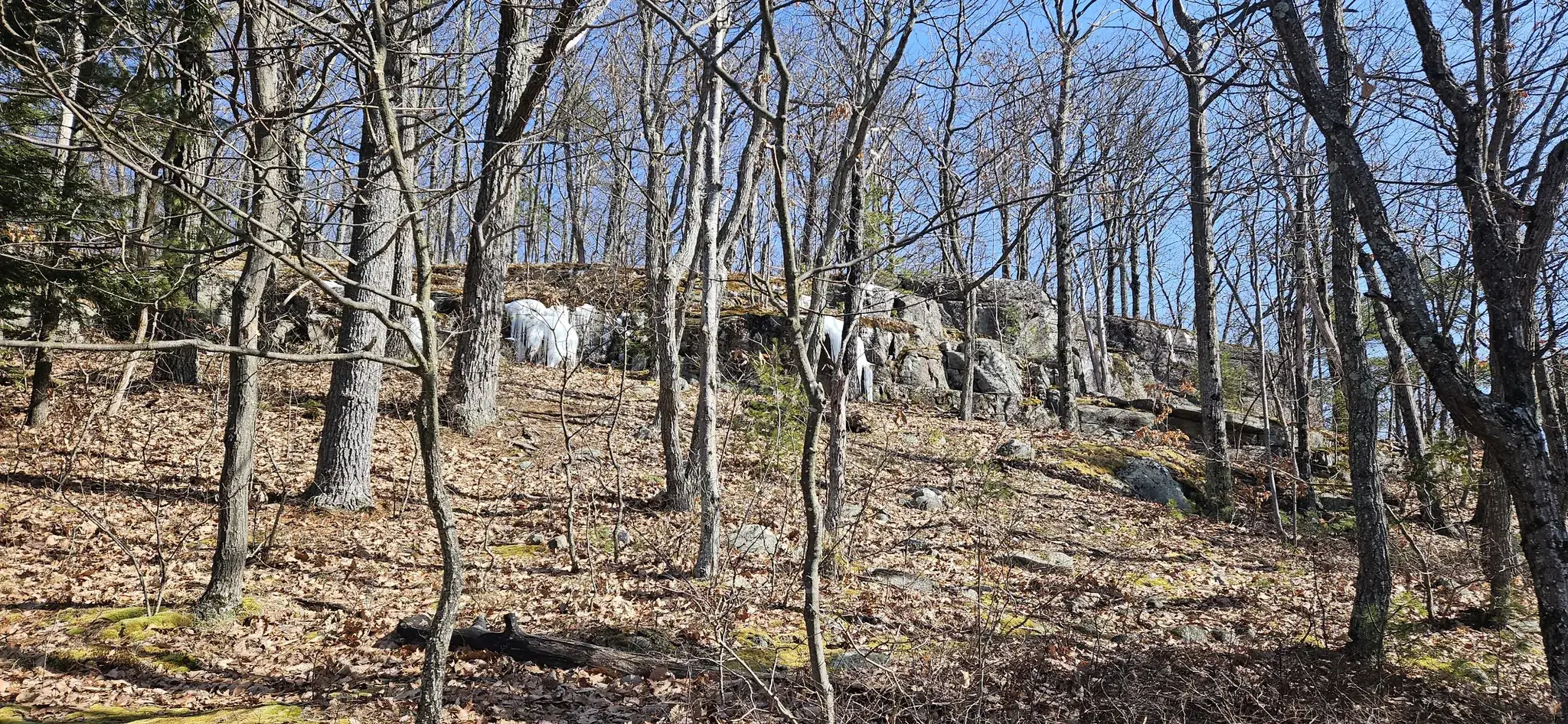
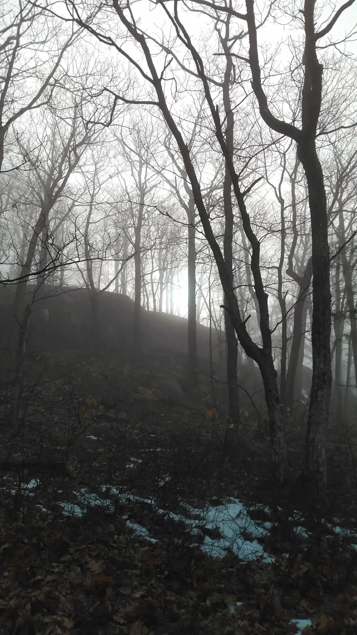
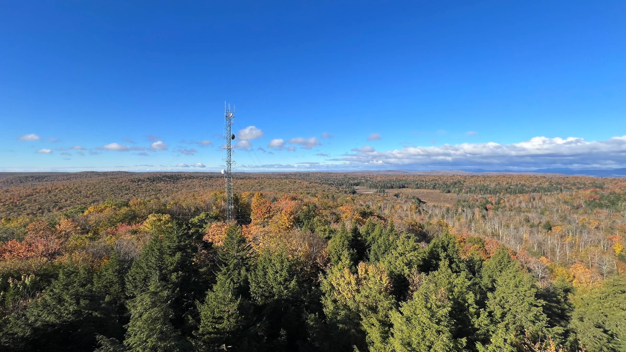
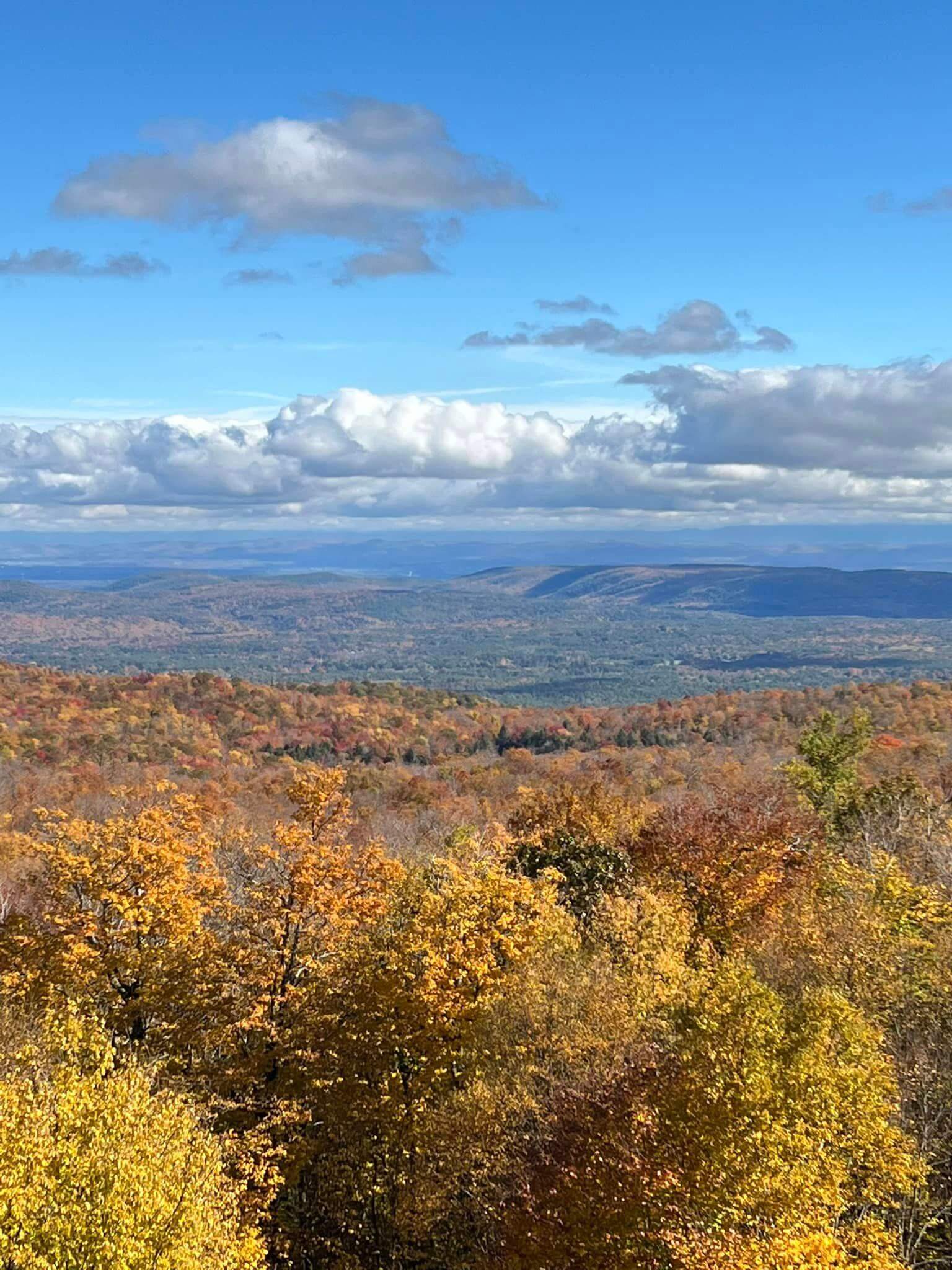
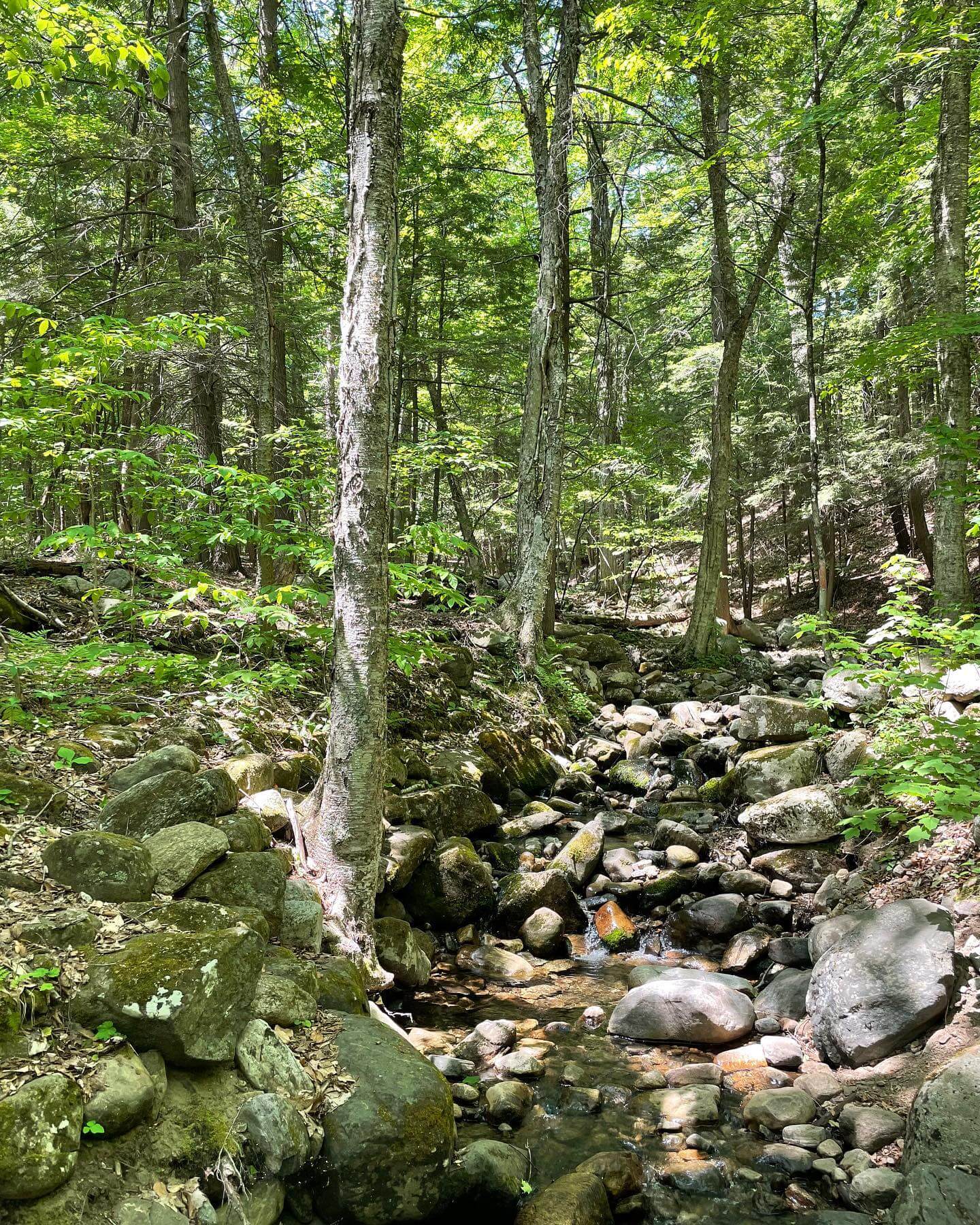
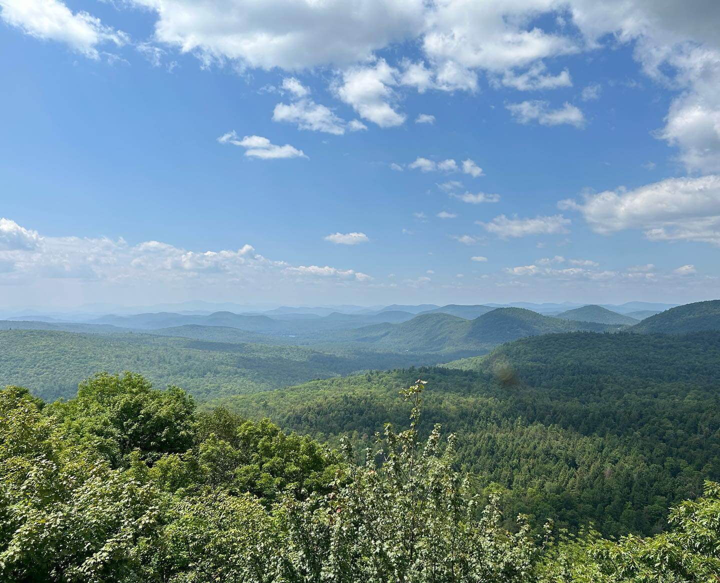
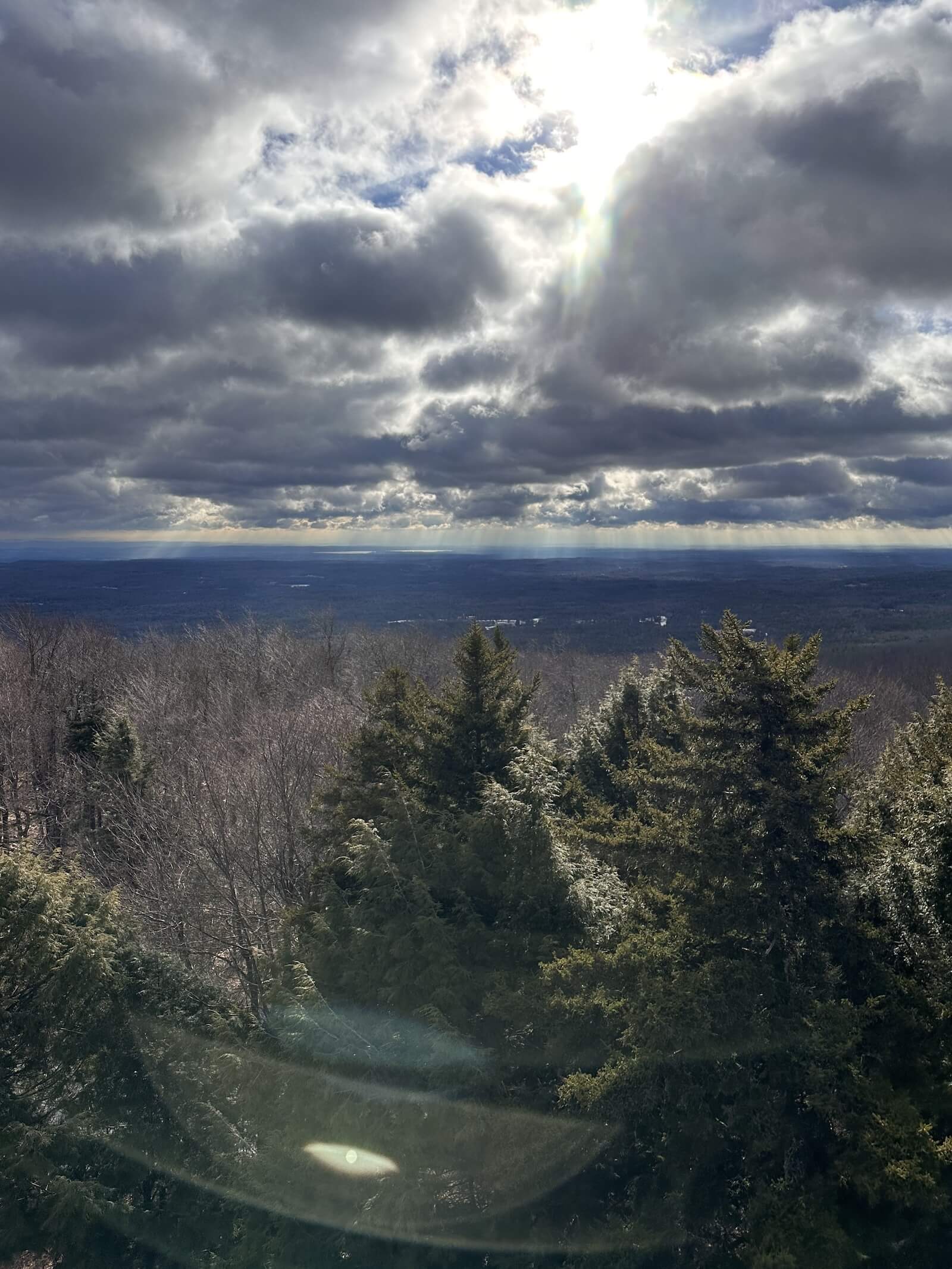
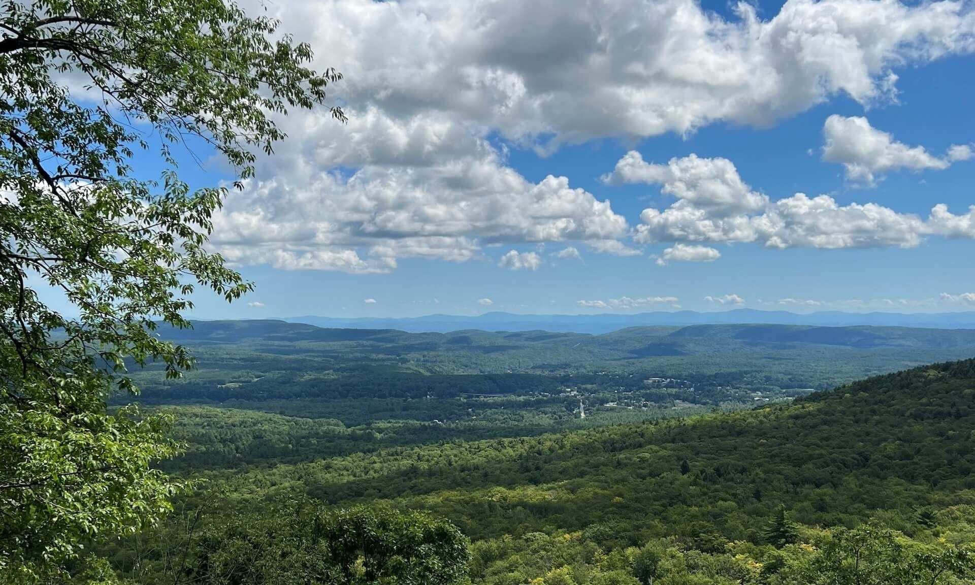
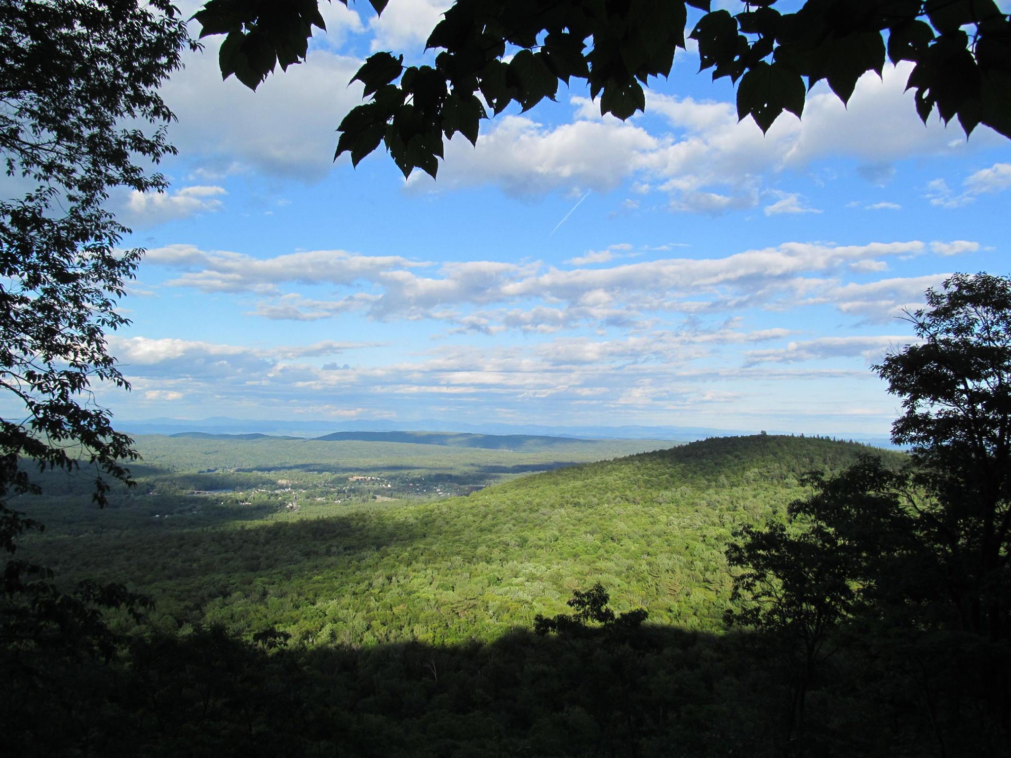
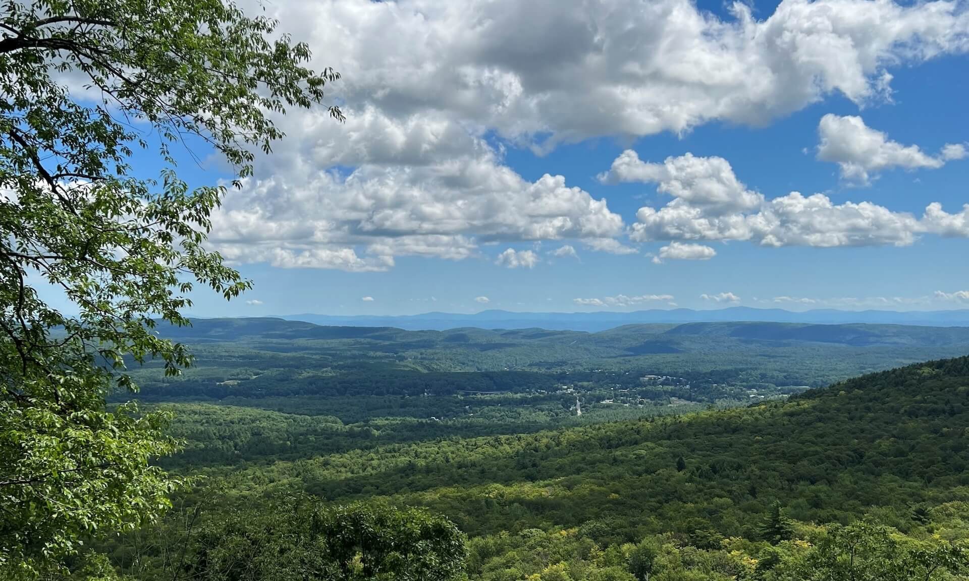
The Potash Mountain Trail in Lake Luzerne is a moderate to difficult hike offering stunning views of the Adirondack Mountains and Lake Luzerne. This 3.26-mile round-trip hike features a mix of steep climbs, rugged terrain, and dense forests, rewarding hikers with panoramic summit views. For those looking to extend their hike, the Nature Trail adds a relaxed loop that showcases the local trees and ecosystems. Rich in both natural beauty and history, Potash Mountain provides a fulfilling experience for outdoor enthusiasts of all kinds.

View in Map

Photo by Becky Gurney.

Elaine Winslow

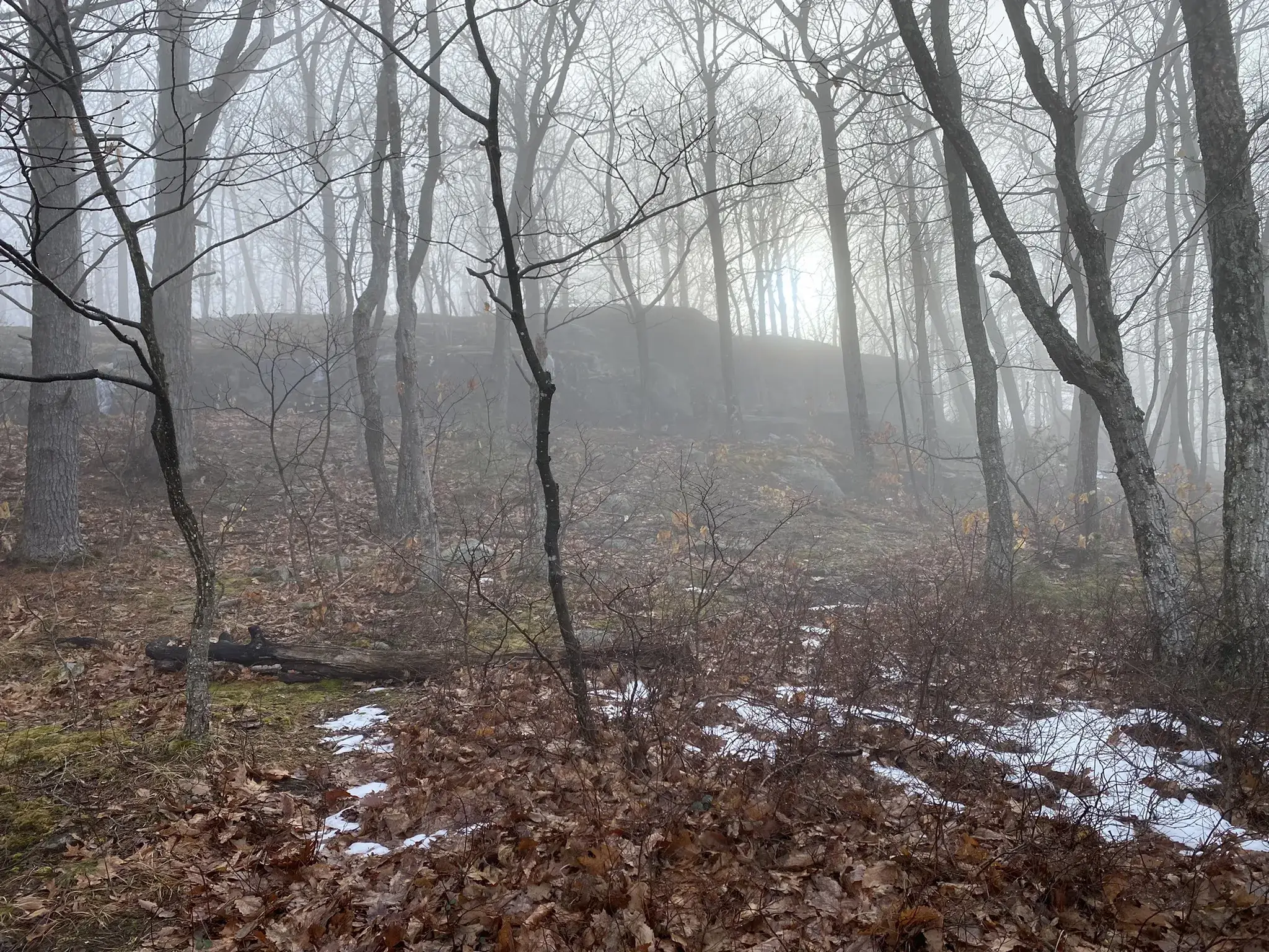
Photo by Elaine Winslow.

Discover the Potash Mountain Trails

The Potash Mountain Trail features two distinct loops, offering varied hiking experiences. The Summit Trail (3.26 miles) is a moderate to difficult climb with an elevation gain of 1,033 feet, rewarding hikers with panoramic views of the Adirondacks and Lake Luzerne. The shorter Nature Trail (0.7 miles) provides a more relaxed loop with educational signage about the area’s trees, ideal for a peaceful, informative walk. Both loops can be combined for a well-rounded hike, balancing challenge with scenic serenity.

3.26 mi
and 0.7 mi
1-2 hours
Gain
1,033 ft
Moderate/
Difficult
43.368° N, -73.827° W
El. 1,751 ft

Download Map

Directions & Parking

Take the Northway to Exit 21. Turn left and head south on NY-9N towards Lake Luzerne. After approximately 6.7mi turn right onto Potash Rd. The trailhead and parking will be on your right after about 0.5mi.

Plan Your Route

43.368,-73.827

Potash Mountain Trail

Get Directions

  • Jennifer Kietzman
  • Steve Mackey
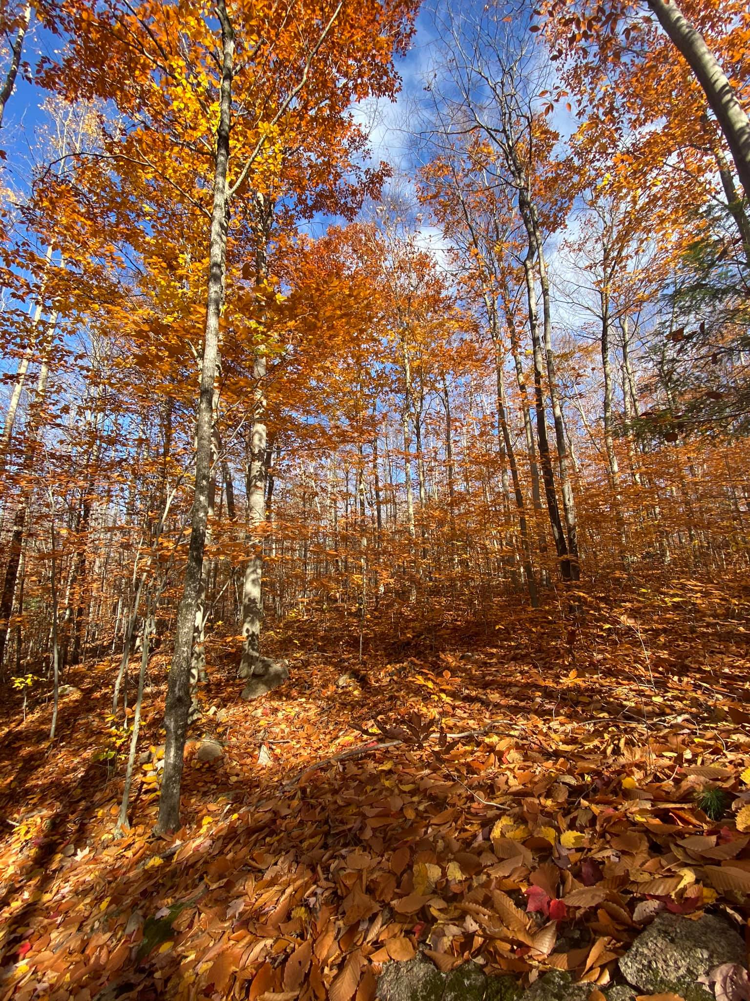
  • trail view

    Jennifer Kietzman
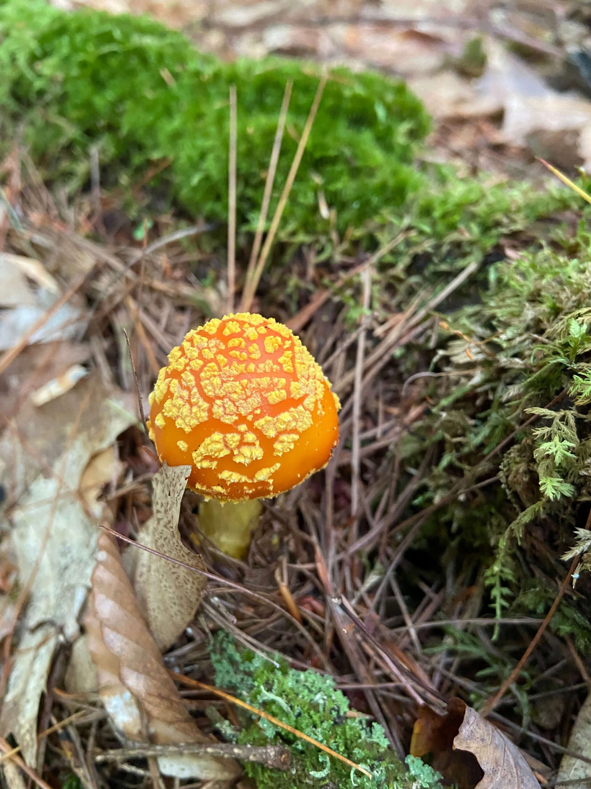
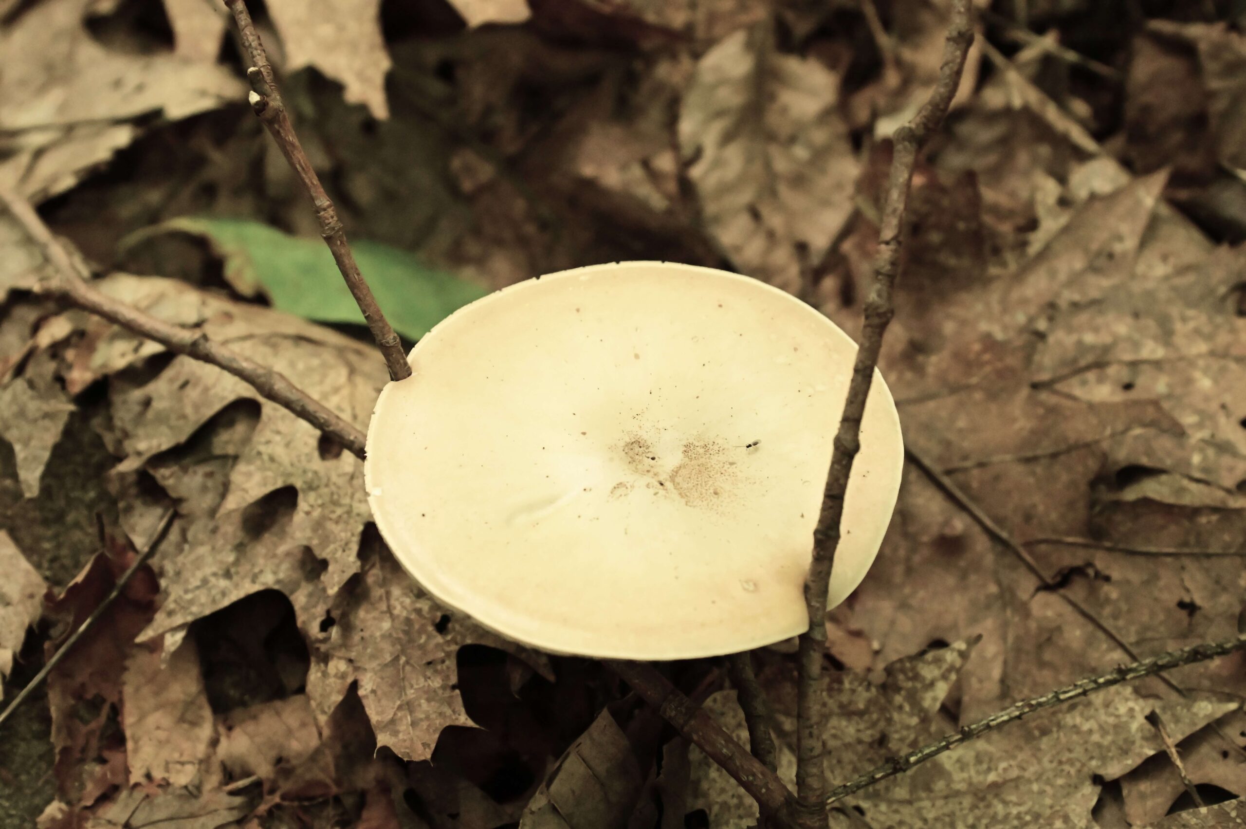
  • amanita

    Elaine Winslow
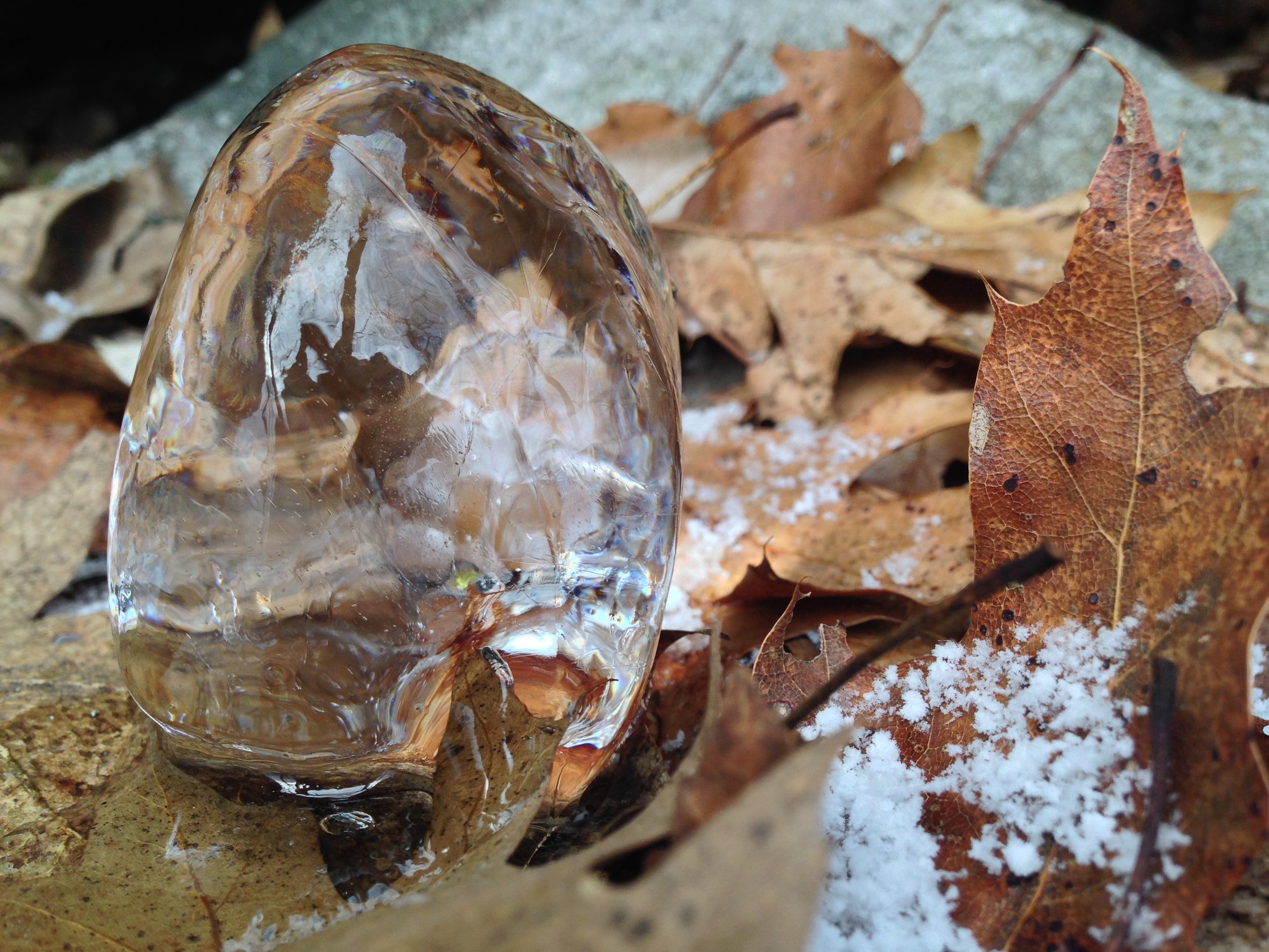
  • Potash Mountain Trail - Steve Mackey - Stalagmite

    Steve Mackey
  • bridge

    Jennifer Kietzman
  • Sandra Gathen
  • Steve Mackey
  • Jennifer Kietzman
  • Steve Mackey

    Steve Mackey
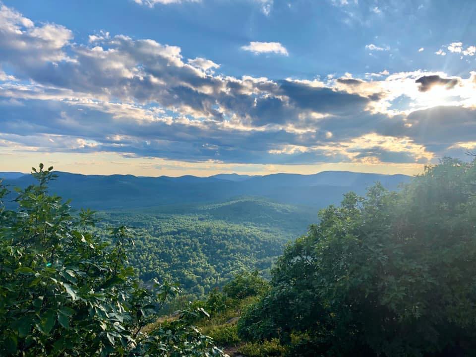
  • Potash Mountain Trail - Elaine Winslow, View from the Nature Trail

    Elaine Winslow
  • Becky Gurney
Things You Don’t Want to Miss

Trail Highlights


Potash Mountain offers a moderately challenging hike that leads to a stunning summit with panoramic views of the surrounding mountains. At the top, the trail loops around for a smooth descent back down the mountain. For extra distance and an educational experience, explore the Nature Trail, where you’ll learn about the local trees and ecosystems.

Nature is what we know—
Yet have no art to say—
So impotent Our Wisdom is
To her Simplicity.

— Emily Dickinson

What to Know Before You Go

Trail Rules

Before starting your hike on the Potash Mountain Trail or the Nature Trail, please review the trail rules to ensure a safe and enjoyable experience for all. These guidelines help protect the environment and preserve the beauty of the area for future visitors. Adhering to these rules helps ensure that the environment remains pristine and that everyone can enjoy the breathtaking views and history that Potash Mountain has to offer.

  • Stay on marked trails to protect the environment and minimize damage.
  • Carry in, carry out all trash and pet waste.
  • Well-behaved dogs are welcome, but they must be kept on a leash at all times.
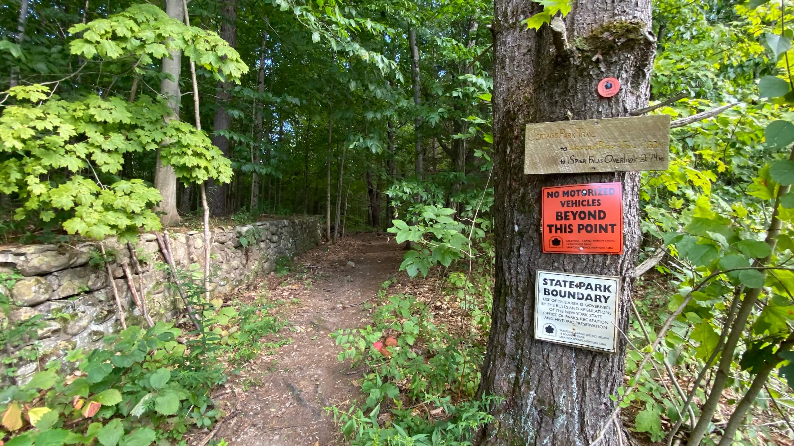
  • No motorized vehicles are allowed on the trails.
  • Open fires & campfires are prohibited.
  • Hunting is not allowed on or near the trail.
  • Keep a respectful distance from animals and avoid feeding or disturbing them.

Trail Map

More Journeys

Similar Routes

History of Potash Mountain

Potash Mountain holds a deep historical connection to the early settlement and development of the Lake Luzerne area. Prior to the Revolutionary War, the land, which included modern-day Lake Luzerne, Hadley, Corinth, Warrensburg, Thurman, Chestertown, and Johnsburg, was acquired by brothers Ebenezer and Edward Jessup. While it’s unclear if they named the mountain Potash Kettle, early records suggest the name could have derived from its unique shape, which resembled an inverted kettle—a feature recognized by the Mohawk people, who called the mountain Senongewok.

Read More

The name “Potash” likely refers to a vital potassium compound that was America’s first industrial chemical. Used extensively in agriculture as a fertilizer, as well as in the production of soap, glass, textiles, and ceramics, potash was a crucial commodity for settlers in the region. Early settlers made use of the abundant trees by clearing land for farms, burning logs, and collecting the ashes to create potash. The process involved leaching the lye from ashes with water and boiling it down to create “black salts,” which settlers could sell or use for various purposes. This practice was nearly universal among early farmers and served as an important source of income as they developed the land.

Potash Mountain and its name stand as a testament to this early industry, and today, it is a community peak that connects visitors to the rich history of the Lake Luzerne area. You can learn more about the area’s heritage through exhibits at the Frances G. Kinnear Museum of Local History, home to the Hadley-Lake Luzerne Historical Society, which showcases artifacts like old postcards of the mountain labeled as “Potash Kettle Mountain.”

For further historical context, see Dan Forbush’s work, “Potash Mountain: Lake Luzerne’s Community Peak,” which provides detailed insight into the area’s transformation from early settlements to the bustling town it is today.

Learn More

Take the Challenge

Are you ready to conquer the outdoors? Register for the Gateway 8 Challenge and explore Saratoga and Warren County’s most scenic hiking, biking, and paddling routes. Whether you’re a seasoned adventurer or new to the trails, this challenge offers the perfect mix of stunning views and physical achievement.

Lace up your boots, grab your gear, and start your adventure today!
Continue reading

Hadley Mountain Trail

Hike

Hadley Mountain Trail

The Hadley Mountain Trail is a popular, moderate 3.6-mile round-trip hike located in the southern Adirondacks. The trail offers a rewarding climb with panoramic views from the summit’s restored fire tower. The hike provides a mix of steep and gentle sections, passing through a landscape marked by bedrock, boulders, and cliffs, all shaped by the area’s history of forest fires. The summit delivers breathtaking views of the Great Sacandaga Lake to the south, along with scenic vistas in all directions, especially from the fire tower.

View in Map

Photo by Dan Novak.

Hadley Mountain Trail - Karina Benninger

Photo by Karina Benninger.

Explore Hadley Mountain

The Hadley Mountain Trail is part of the Wilcox Lake Wild Forest and traverses public Forest Preserve land. Starting from the trailhead, hikers immediately begin a moderate ascent, following red markers through the woodland.

3.6 mi
2.5 hours
1,525 feet
Moderate
43.374° N, 73.951° W
El. 2,653 ft

Download Map

Directions & Parking

Parking is available at the trailhead on Tower Rd, accessible via Hadley Hill Rd and Eddy Rd.

Plan Your Route

43.3737578,-73.9503734

Hadley Mountain Trailhead

Get Directions

  • Hadley Mountain Trail - Dan Novak

    Hadley Mountain Trail – Dan Novak
  • Hadley Mountain Trail - kehanselman

    Hadley Mountain Trail – kehanselman
  • Hadley Mountain Trail - Karina Benninger

    Hadley Mountain Trail – Karina Benninger
  • Hadley Mountain Trail - Dan Novak

    Hadley Mountain Trail – Dan Novak
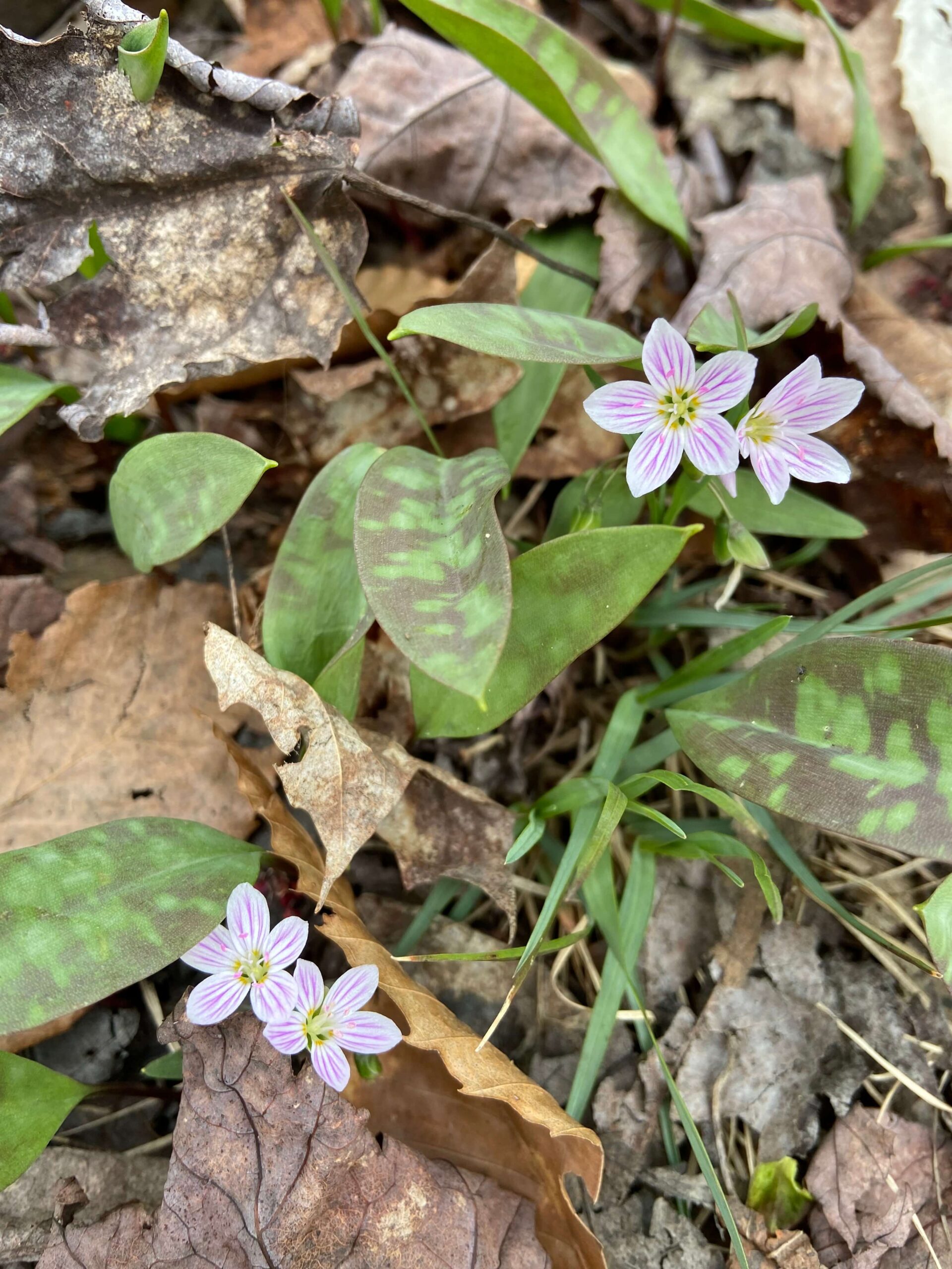
  • Hadley Mountain Trail - Elaine Winslow, Spring Beauty

    Hadley Mountain Trail – Elaine Winslow, Spring Beauty
  • Hadley Mountain Trail - Dan Novak

    Hadley Mountain Trail – Dan Novak
  • Hadley Mountain Trail - Jennifer Kietzman

    Hadley Mountain Trail – Jennifer Kietzman
  • Hadley Mountain Trail - Dan Novak

    Hadley Mountain Trail – Dan Novak
  • Hadley Mountain Trail - Becky Gurney, Fire Tower

    Hadley Mountain Trail – Becky Gurney, Fire Tower
  • Hadley Mountain Trail - Jennifer Kietzman

    Hadley Mountain Trail – Jennifer Kietzman
  • Hadley Mountain Trail - Elaine Winslow, Summit in Winter

    Hadley Mountain Trail – Elaine Winslow, Summit in Winter
  • Jennifer Kietzman, Rock Formation Informally Known as Turtle Rock

    Jennifer Kietzman, Rock Formation Informally Known as Turtle Rock
Things You Don’t Want to Miss

Trail Highlights


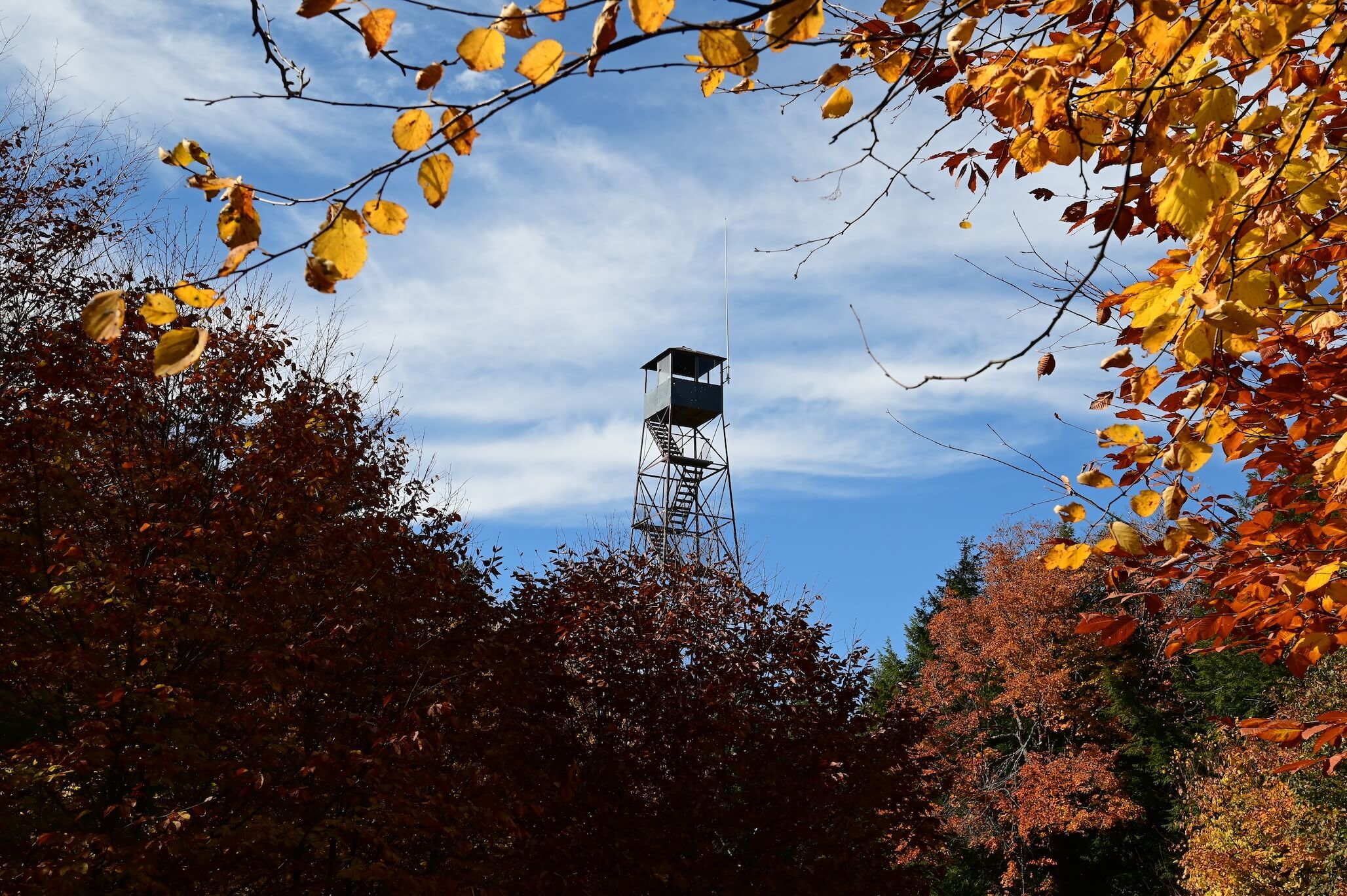
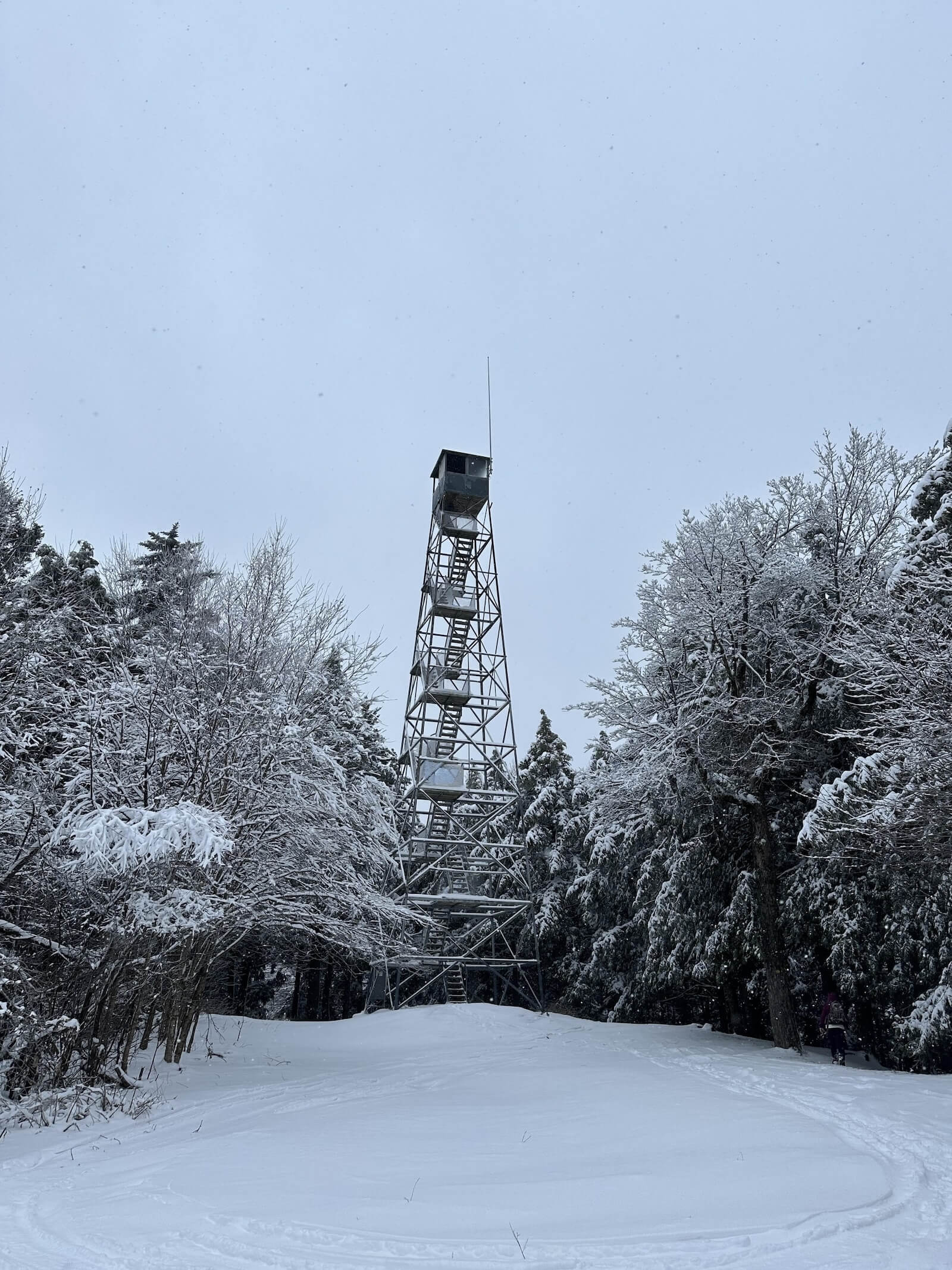
The trail includes interesting boulders, cliffs, and bedrock, a result of the mountain’s recovery from early 20th-century forest fires. The summit features a restored 40-foot fire tower built in 1917, offering expansive views for those who climb it. Even without ascending the tower, hikers can enjoy stunning views of the Great Sacandaga Lake and the surrounding mountains.

For all those who stand on this mountain’s summit and look over the vast green valleys and mountains they should appreciate all that they see because the great fires of 1903 and 1908 burned basically all the green that comes into view. The top of Hadley Mountain was also burned, and the soil was sterilized and still has not fully recovered.

— Paul Laskey, The Fire Observation Tower of New York State

What to Know Before You Go

Trail Rules

Before embarking on your hike up Hadley Mountain, it’s important to be aware of a few key rules designed to protect the environment and ensure the safety of all hikers. By following these guidelines, you help preserve the natural beauty of the mountain and contribute to ongoing conservation efforts.

  • Stay on marked trails to protect the environment and minimize damage.
  • Carry out all trash to keep the area clean.
  • Leash pets at all times to avoid disturbing wildlife.
  • No motor vehicles or hunting as part of the Wilcox Lake Wild Forest.
  • No fires due to the area’s history of forest fires.

Trail Map

More Journeys

Similar Routes

A History of Wildfires, Restoration, and Preservation

In the early 20th century, Hadley Mountain and parts of the West Mountain Ridge were severely impacted by wildfires in 1903, 1908, 1911, and 1915. To protect the area and monitor fire activity, a 40-foot steel fire tower was erected on Hadley Mountain in 1917, originally from Ohmer Mountain. The tower served as a fire lookout until its closure by the DEC in 1990. Over the years, various observers manned the tower, including notable figures like William Madison, John Briner, and George Vickary.

In 1995, the Hadley Mountain Fire Tower Committee collaborated with the DEC to restore the tower and the observer’s cabin. Restoration efforts included replacing windows, stairs, landings, and other materials, many of which were flown to the summit by helicopter. The restoration continued through the late 1990s, with repainting in 1998 and roof replacement in 2000. Thanks to these efforts, the tower remains a prominent feature of Hadley Mountain, offering visitors stunning views from the summit.

Follow the Hadley Mountain Fire Committee on Facebook.

Take the Challenge

Are you ready to conquer the outdoors? Register for the Gateway 8 Challenge and explore Saratoga and Warren County’s most scenic hiking, biking, and paddling routes. Whether you’re a seasoned adventurer or new to the trails, this challenge offers the perfect mix of stunning views and physical achievement.

Lace up your boots, grab your gear, and start your adventure today!
Continue reading

Lake Bonita Loop (Lite Only)

Hike

Lake Bonita Loop

The Lake Bonita Loop is a 1.7-mile trail located within Moreau Lake State Park, offering a moderate hike through lush woodlands. The loop encircles Lake Bonita, providing hikers with peaceful views and several benches to pause and take in the natural beauty. With a rich history tied to Mount McGregor, including its connection to Ulysses S. Grant and past uses as a luxury resort and correctional facility, the area has evolved into a hub for outdoor recreation. This short but rewarding hike is perfect for those seeking both scenic beauty and a glimpse into the area’s fascinating past.

View in Map

Photo by Friends of Moreau Lake State Park.

Lake Bonita Loop and_or Lake Bonita to Lake Ann Loop - Becky Gurney, Trail View (2)

Photo by Becky Gurney.

A Scenic & Gentle Journey

The Lake Bonita Loop offers a scenic, moderate hike in Moreau Lake State Park. Starting with a downhill walk toward the lake, this 1.7-mile loop circles Lake Bonita with views from several benches along the path. While the loop is mostly gentle, be prepared for a short but steep incline on the way back to the parking lot.

1.7 mi
∼ 45 min
Gain 45 ft
Moderate
43.204° N, 73.768° W
El. 855 ft

Download Map

Directions & Parking

Located off Corinth Mountain Rd after the intersection with Wilton Rd. The parking area is on the right side, about 0.5 miles from the trailhead.

Plan Your Route

43.2036753,-73.7677072

Lake Bonita Loop

Get Directions

  • Friends of Moreau Lake State Park – Lake Ann
  • Friends of Moreau Lake State Park – Lake Ann
  • Friends of Moreau Lake State Park – Lake Bonita
  • Moreau Lake State Park – Glacial Erratic at Lake Bonita
  • Moreau Lake State Park – Lake Bonita
  • Lake Bonita Loop – Jennifer Kietzman
  • Moreau Lake State Park – Lake Bonita Hike
  • Lake Bonita Loop – Jennifer Kietzman
Things You Don’t Want to Miss

Trail Highlights


The 1.7 mile hike is enjoyable year-round and provides serene views of the lake, forested surroundings, and the wildlife that inhabits the area. Starting from the trailhead off Corinth Mountain Road, hikers descend toward the tranquil Lake Bonita, following a well-marked path that circles the lake. Along the way, you’ll find benches strategically placed for rest and quiet reflection by the water. The trail is relatively easy, with minimal elevation gain, though there is a short, steep section on the return to the parking lot.

If you notice anything,
It leads you to notice
more
and more.

Mary Oliver, “The Moths”

What to Know Before You Go

Trail Rules

To ensure that everyone has a safe and enjoyable experience on the Lake Bonita Loop, it’s important to follow a few simple trail rules. These guidelines are designed to protect the environment, preserve the trail, and keep the area accessible for future visitors of Moreau Lake State Park.

  • Stay on marked trails to protect the environment and minimize damage.
  • Carry in, carry out all trash and pet waste.
  • Well-behaved dogs are welcome, but they must be kept on a leash at all times.
  • No motorized vehicles are allowed on the trails.
  • Open fires & campfires are prohibited.
  • Hunting is not allowed on or near the trail.
  • Keep a respectful distance from animals and avoid feeding or disturbing them.

Trail Map

More Journeys

Similar Routes

History of Lake Bonita

Located within the Mount McGregor area, Lake Bonita became part of Moreau Lake State Park in 2016. The area has historical significance due to its connection with Ulysses S. Grant, who spent the last weeks of his life in the nearby Grant Cottage. Once a site for railroads, luxury hotels, and even a tuberculosis sanitarium, the land is now dedicated to outdoor recreation, offering a glimpse into both natural beauty and historical importance.

Mount McGregor, once called Palmertown Mountain, was renamed after Duncan McGregor purchased the land in the late 19th century. The area saw development as a resort destination with hotels and railroads, and later became the site of a tuberculosis sanitarium and veterans’ convalescence center. Over 700 acres were transferred to Moreau Lake State Park after the closure of the Mount McGregor Correctional Facility in 2014, expanding the park and opening new trails, including the Lake Bonita Loop.

Take the Challenge

Are you ready to conquer the outdoors? Register for the Gateway 8 Challenge and explore Saratoga and Warren County’s most scenic hiking, biking, and paddling routes. Whether you’re a seasoned adventurer or new to the trails, this challenge offers the perfect mix of stunning views and physical achievement.

Lace up your boots, grab your gear, and start your adventure today!
Continue reading

Lake Bonita to Lake Ann Loop

Hike

Lake Bonita to Lake Ann Loop

The Lake Bonita to Lake Ann Loop offers a 3.7-mile hike through Moreau Lake State Park, perfect for those seeking a family-friendly trail. Beginning at Lake Bonita, the trail circles the serene lake before winding through forested paths toward Lake Ann, providing beautiful views and a quiet escape into nature. Along the way, benches are available to sit and take in the surrounding landscape.

View in Map

Photo by Friends of Moreau Lake State Park.

Lake Bonita Loop and_or Lake Bonita to Lake Ann Loop - Becky Gurney, Trail View (2)

Photo by Becky Gurney.

Explore Tranquil Waters & History

The loop’s short, steep sections add just enough challenge, and with the area’s rich historical significance—once home to Grant Cottage and the Mount McGregor Correctional Facility—this hike provides both natural beauty and a glimpse into the past. Ideal for hikers of all skill levels, it’s a great option for a relaxing outdoor adventure.

3.7 mi
1.5 h
Gain 440 ft
Moderate
43.204° N, 73.768° W
El. 855 ft

Download Map

Directions & Parking

Located off Corinth Mountain Rd after the intersection with Wilton Rd. The parking area is on the right side, about 0.5 miles from the trailhead.

Plan Your Route

43.2036753,-73.7677072

Lake Bonita to Lake Ann

Get Directions

  • Friends of Moreau Lake State Park – Lake Ann
  • Friends of Moreau Lake State Park – Lake Ann
  • Friends of Moreau Lake State Park – Lake Bonita
  • Moreau Lake State Park – Glacial Erratic at Lake Bonita
  • Moreau Lake State Park – Lake Bonita
  • Lake Bonita Loop – Jennifer Kietzman
  • Moreau Lake State Park – Lake Bonita Hike
  • Lake Bonita Loop – Jennifer Kietzman
Things You Don’t Want to Miss

Trail Highlights


This moderate 3.7-mile trail offers hikers a peaceful walk around Lake Bonita before continuing through serene forested paths toward Lake Ann. Along the trail, you’ll encounter benches perfect for taking in the lakeside scenery. The loop also features short steep sections, including a final incline on the return to the parking lot. This trail is dog-friendly, but pets must be kept on a leash at all times.

Perhaps
the truth depends on a walk around the lake.

— Wallace Stevens, Notes Toward a Supreme Fiction

What to Know Before You Go

Trail Rules

To ensure that everyone has a safe and enjoyable experience on the Lake Bonita to Lake Ann Loop, it’s important to follow a few simple trail rules. These guidelines are designed to protect the environment, preserve the trail, and keep the area accessible for future visitors of Moreau Lake State Park.

  • Stay on marked trails to protect the environment and minimize damage.
  • Carry in, carry out all trash and pet waste.
  • Well-behaved dogs are welcome, but they must be kept on a leash at all times.
  • No motorized vehicles are allowed on the trails.
  • Open fires & campfires are prohibited.
  • Hunting is not allowed on or near the trail.
  • Keep a respectful distance from animals and avoid feeding or disturbing them.

Trail Map

More Journeys

Similar Routes

History of Lake Bonita

Located within the Mount McGregor area, Lake Bonita became part of Moreau Lake State Park in 2016. The area has historical significance due to its connection with Ulysses S. Grant, who spent the last weeks of his life in the nearby Grant Cottage. Once a site for railroads, luxury hotels, and even a tuberculosis sanitarium, the land is now dedicated to outdoor recreation, offering a glimpse into both natural beauty and historical importance.

Mount McGregor, once called Palmertown Mountain, was renamed after Duncan McGregor purchased the land in the late 19th century. The area saw development as a resort destination with hotels and railroads, and later became the site of a tuberculosis sanitarium and veterans’ convalescence center. Over 700 acres were transferred to Moreau Lake State Park after the closure of the Mount McGregor Correctional Facility in 2014, expanding the park and opening new trails, including the Lake Bonita Loop.

Take the Challenge

Are you ready to conquer the outdoors? Register for the Gateway 8 Challenge and explore Saratoga and Warren County’s most scenic hiking, biking, and paddling routes. Whether you’re a seasoned adventurer or new to the trails, this challenge offers the perfect mix of stunning views and physical achievement.

Lace up your boots, grab your gear, and start your adventure today!
Continue reading

Stonewall Trail - All Trails - Steven M, Forest View

Stonewall Trail

Hike

Stonewall Trail

The Stonewall Trail in Moreau Lake State Park is a 3.2-mile loop that offers a peaceful and scenic hike through lush forests and along the Hudson River. This moderate trail is perfect for those looking to escape the crowds and enjoy a quieter path. Along the way, hikers will pass historic stone walls, remnants of the area’s early settlers and logging industry. With its serene landscape and rich history, the Stonewall Trail provides a rewarding experience for hikers of all levels looking to explore a hidden gem within the park.

View in Map

Photo by Steven M.

Stonewall Trail - All Trails - Kristin Olmstead, Don_t Forget to Look Up

Photo by Kristin Olmstead.

Historic Walls & Scenic Views

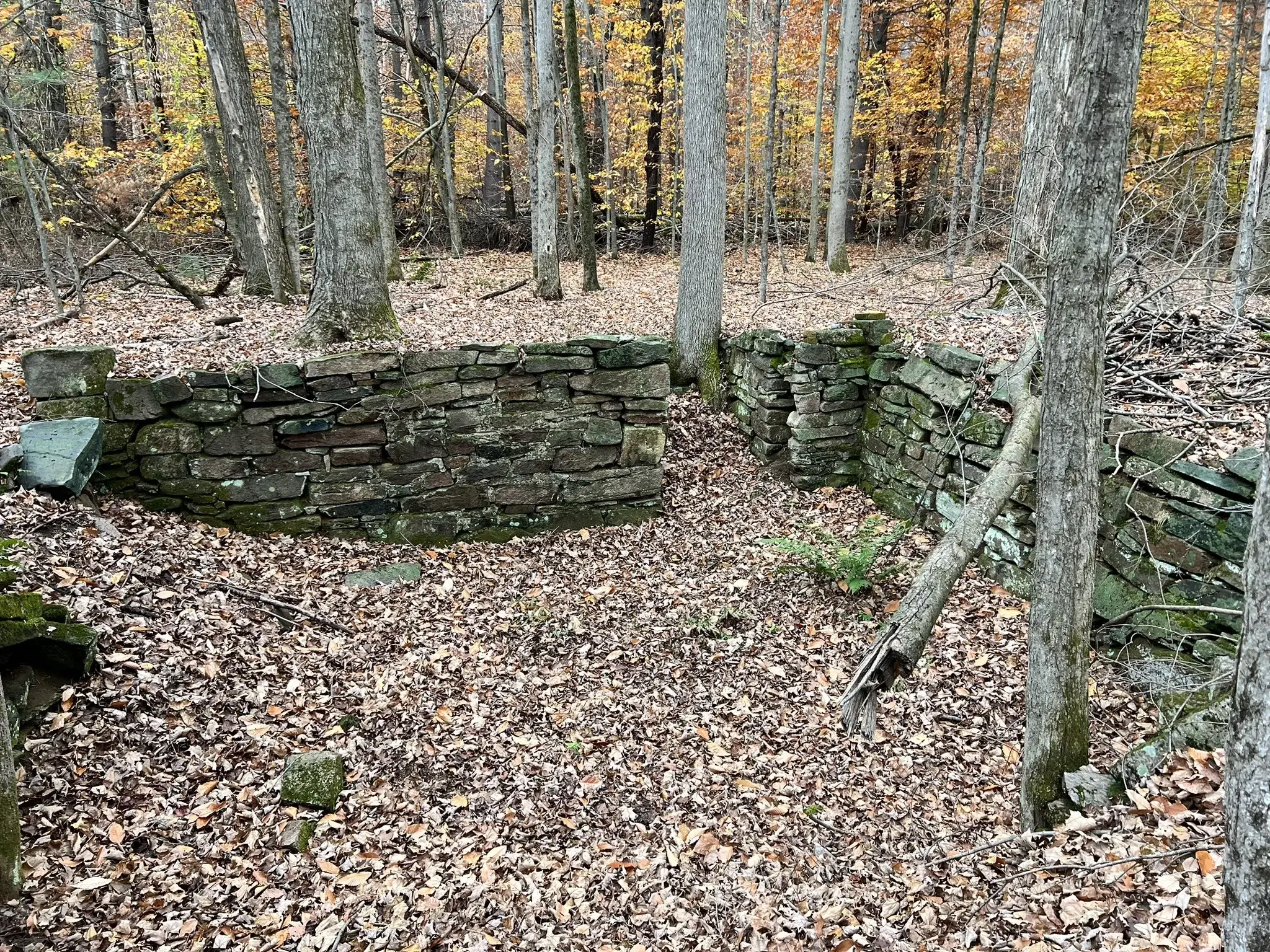
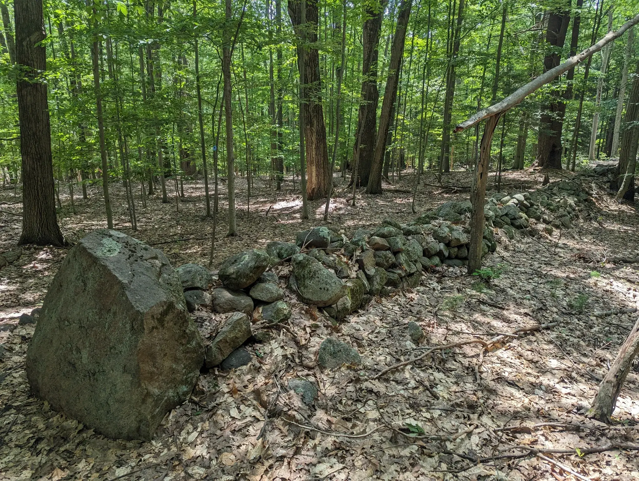
The trail weaves through lush forests and along the Hudson River, providing scenic views, rocky outcrops, and peaceful streams. As its name suggests, the trail features historic stone walls, remnants of early settlers and the region’s logging history.

3.2 mi
1 h 45 min
Gain 466 ft
Moderate
43.237,° N, 73.774° W
No Mtn. Summit

Download Map

Directions & Parking

Parking is available near the trailhead, with a dirt road leading up to it.

Plan Your Route

43.2370039,-73.7765749

Stonewall Trail

Get Directions

  • Stonewall Trail - FMLSP FB - Hudson River Shoreline

    Friends of Moreau Lake State Park
  • Stephen Schaefer
  • Roger Maurais
  • Derek Petrie
  • Steven M.
  • Stonewall Trail - All Trails - Steven M, Conocybe Tenera aka Brown Dunce Cap or Common Cone Head

    Steven M.
Things You Don’t Want to Miss

Trail Highlights


The Stonewall Trail is quieter than many of the park’s more popular paths, making it an excellent choice for solitude and reflection. It also connects to other trails within the park, offering further exploration of Moreau Lake’s diverse landscape. Along the way, hikers encounter wildlife, seasonal wildflowers, and a diverse mix of ecosystems, including rich woodlands and wetland areas.

in every part of every living thing
is stuff that once was rock

— Lorine Niedecker, Lake Superior

What to Know Before You Go

Trail Rules

Before starting your hike on the Stonewall Trail, it’s important to review the trail rules to ensure a safe and enjoyable experience for everyone. These guidelines help protect the natural environment, preserve the trail’s historical features, and maintain the park’s beauty for future visitors. Please follow the rules below to ensure a responsible and respectful hike.

  • Stay on marked trails to protect the environment and minimize damage.
  • Carry in, carry out all trash and pet waste.
  • Well-behaved dogs are welcome, but they must be kept on a leash at all times.
  • No motorized vehicles are allowed on the trails.
  • Open fires & campfires are prohibited.
  • Hunting is not allowed on or near the trail.
  • Keep a respectful distance from animals and avoid feeding or disturbing them.

Trail Map

More Journeys

Similar Routes

History of Stonewall Trail

The Stonewall Trail reflects the region’s history, with stone walls marking the boundaries of early farmland and logging routes. These stone structures were likely built by settlers in the 1800s, who cleared the land and constructed the walls to define property lines and contain livestock. Today, the trail offers hikers not only a scenic journey but also a glimpse into the region’s past. The Friends of Moreau Lake highlight this trail as one of the “paths less taken,” offering both natural beauty and historical significance without the higher foot traffic of more popular trails.

For more information and updates, visit Friends of Moreau Lake to explore the rich history and serene beauty of this hidden gem, and follow Moreau Lake State Parkon Facebook.

Take the Challenge

Are you ready to conquer the outdoors? Register for the Gateway 8 Challenge and explore Saratoga and Warren County’s most scenic hiking, biking, and paddling routes. Whether you’re a seasoned adventurer or new to the trails, this challenge offers the perfect mix of stunning views and physical achievement.

Lace up your boots, grab your gear, and start your adventure today!
Continue reading

Baker Trail to Old Moreau Overlook Trail

Hike

Baker Trail to Old Moreau Overlook Trail

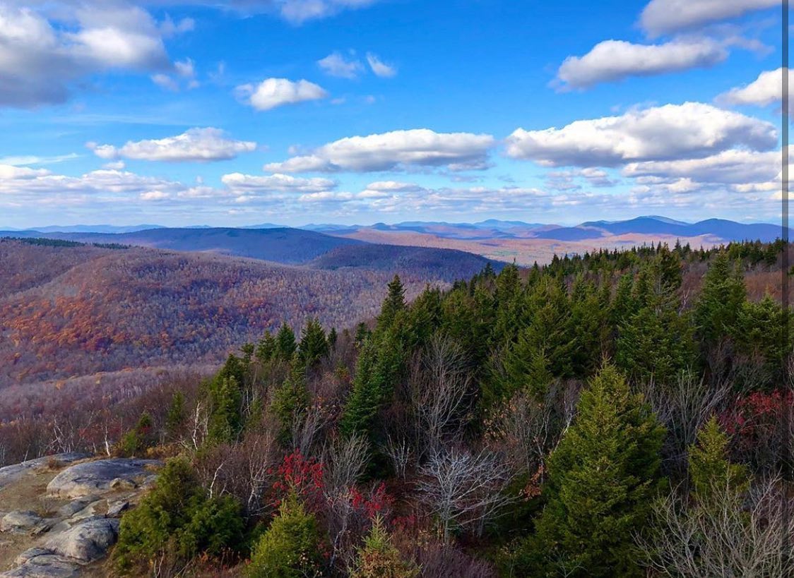
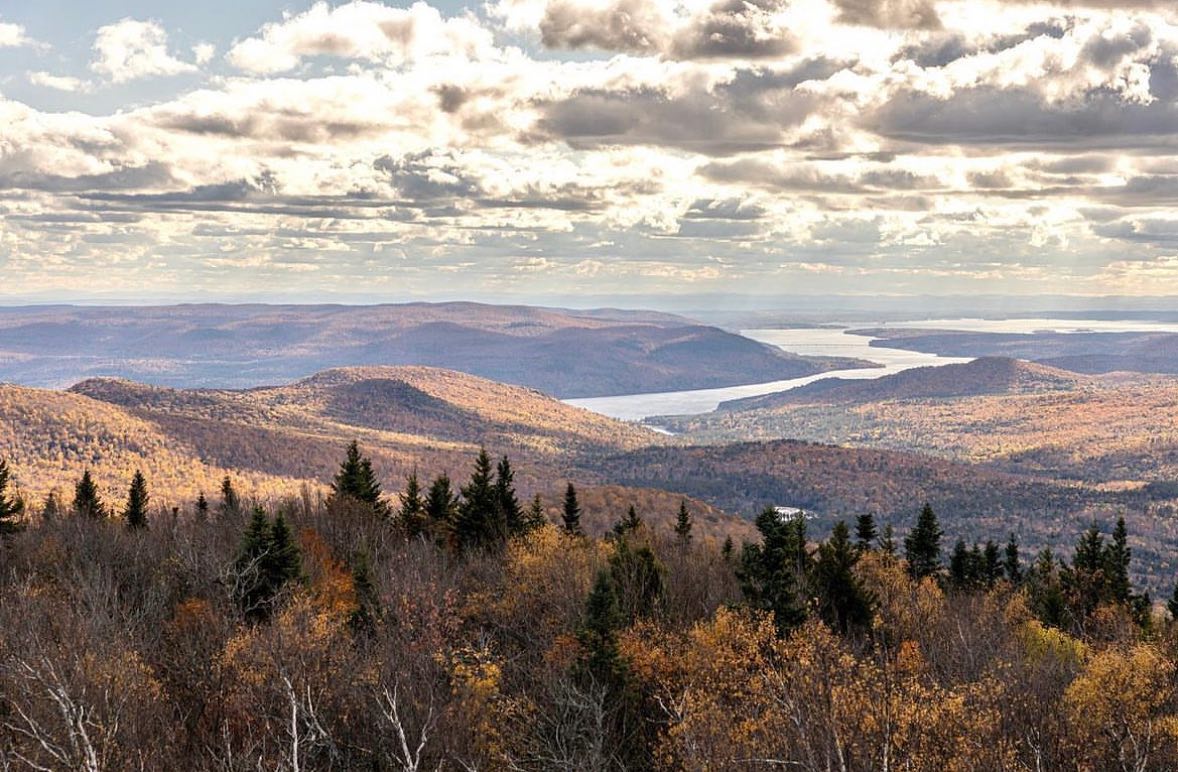
The Baker Trail to Old Moreau Overlook Trail offers a scenic 2.4-mile out-and-back hike through the Palmertown Range in Moreau Lake State Park. Starting at a lesser-known trailhead off Spier Falls Road, the trail ascends gradually, passing through beautiful fern-covered clearings and forested terrain.

View in Map

Photo by Ryan Kramer Jr.

Moreau Lake State Park Facebook

Photo by Moreau Lake State Park.

Sweeping Views & Forested Beauty

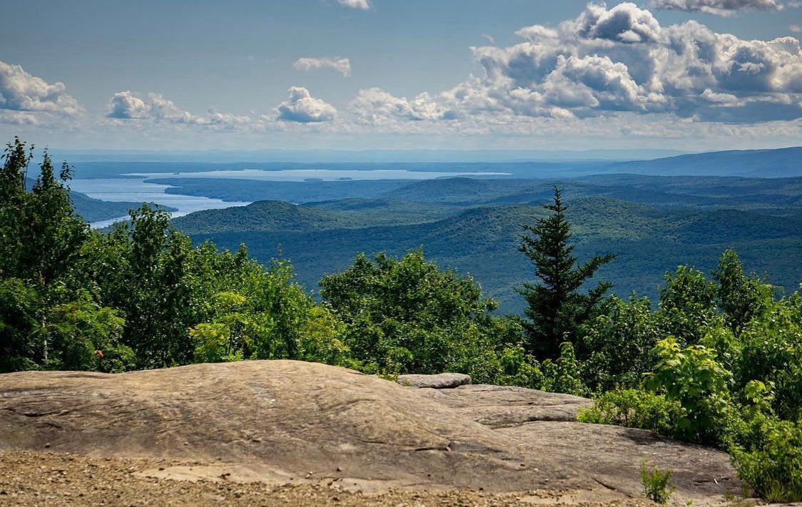
The Baker Trail to Old Moreau Overlook Trail is a moderately challenging trail that ascends steadily through a beautiful forest. It begins with a small stream crossing and continues through fern-covered clearings and rocky terrain. At the top, the overlook provides sweeping views of Moreau Lake and distant mountains, making it a popular spot within the park. The trail is well-marked with green discs and intersects with the Ridge Run Trail (marked in red), offering the option for an extended hike.

2.4 mi
1.5 – 2 hours
Gain 400 ft
Moderate
43.202ºN, 73.896ºW
El. 940 ft

Download Map

Directions & Parking

Parking is available at the trailhead off Spier Falls Road. Look for a state park sign marking the entrance to a gravel road leading to a small parking area.

Plan Your Route

43.24689,-73.72629

Baker Trail to Moreau Overlook Trail

Get Directions

  • Moreau Lake State Park - Ryan Kramer Jr.

    Moreau Lake State Park – Ryan Kramer Jr.
  • Friends of Moreau Lake State Park - Moreau Lake Overlook at Dawn

    Friends of Moreau Lake State Park – Moreau Lake Overlook at Dawn
  • Baker Trail to Old Moreau Overlook - Jennifer Kietzman, Cairn at Trail Intersection

    Baker Trail to Old Moreau Overlook – Jennifer Kietzman, Cairn at Trail Intersection
  • Baker Trail to Old Moreau Overlook - Jennifer Kietzman, Fledgling Ghost Pipes (aka Indian Pipes)

    Baker Trail to Old Moreau Overlook – Jennifer Kietzman, Fledgling Ghost Pipes (aka Indian Pipes)
  • Baker Trail to Old Moreau Overlook - Jennifer Kietzman, Fungus on Stilts

    Baker Trail to Old Moreau Overlook – Jennifer Kietzman, Fungus on Stilts
  • Baker Trail to Old Moreau Overlook - Jennifer Kietzman, Log with Fungi

    Baker Trail to Old Moreau Overlook – Jennifer Kietzman, Log with Fungi
  • Friends of Moreau Lake State Park – Moreau Lake Overlook in Fall
  • Moreau Lake State Park - Jen LaPorte

    Moreau Lake State Park – Jen LaPorte
  • Moreau Lake State Park - Moreau Overlook

    Moreau Lake State Park – Moreau Overlook
Things You Don’t Want to Miss

Trail Highlights


Though popular for hiking and running, the trail offers a quieter and less-used route compared to the main trails in Moreau Lake State Park. It takes hikers to the same stunning overlook while providing a peaceful and scenic back route through the Palmertown Range.

At 1.4 miles you’ll reach an open ledge on the left that overlooks Moreau Lake, and has views east to Vermont.

and in the shadow of the sound a silence ringed, loud and round, and spoke in one voice that mastered me, for i was mast, and i a tree

that has grown down around and into another tree, on that steep precipice; of heart, my mind, and me

Cody-Rose Clevidence

What to Know Before You Go

Trail Rules

Before setting off on your adventure along the Baker Trail to Old Moreau Overlook Trail, it’s essential to understand the trail rules that protect both the environment & fellow hikers. These guidelines ensure a safe & enjoyable experience while preserving the natural beauty of Moreau Lake State Park.

  • Pets on Leash
  • No Hunting
  • Stay on Marked Trails
  • Carry In, Carry Out
  • No Motor Vehicles
  • Closed Hunting Season

Trail Map

More Journeys

Similar Routes

History of Moreau Lake State Park

Moreau Lake State Park was established in 1967 after the State Conservation Department began acquiring land in 1961, initially spanning 600 acres. Originally managed by the Capital District State Park Commission, its administration transferred to the Office of Parks, Recreation, and Historic Preservation (OPRHP) in 1972. In 1998, the park expanded significantly with the addition of over 3,200 acres, tripling its size to 4,184 acres by 2006, making it the largest park in the Saratoga-Capital District Region.

With a rich history dating back to the early 20th century, the park’s land has transformed into a hub for outdoor recreation, offering activities such as hiking, camping, and fishing. Over the years, developments have enhanced its natural beauty and recreational opportunities. For more information on the park’s history, visit the Friends of Moreau Lake website or follow Moreau Lake State Park on Facebook.

Take the Challenge

Are you ready to conquer the outdoors? Register for the Gateway 8 Challenge and explore Saratoga and Warren County’s most scenic hiking, biking, and paddling routes. Whether you’re a seasoned adventurer or new to the trails, this challenge offers the perfect mix of stunning views and physical achievement.

Lace up your boots, grab your gear, and start your adventure today!
Continue reading

Western Ridge Trail - All Trails - Jess McGuire

Western Ridge Trail

Hike

Western Ridge Trail

The Western Ridge Trail at Moreau Lake State Park is a 5.4-mile point-to-point trail offering a moderate hiking experience through forested paths, rocky terrain, and steep inclines. With an elevation gain of 1,020 feet, the trail rewards hikers with stunning views, especially from the Spring Overlook. The path is marked by yellow blazes and is well-maintained, making it a popular choice for outdoor enthusiasts looking for a challenge and scenic beauty. This trail is accessible year-round, with snowshoeing being a favorite in the winter months.

View in Map

Photo by Jess McGuire.

From Friends of Moreau Lake State Park

Photo by Moreau Lake State Park.

Explore the Western Ridge Trail

The Western Ridge Trail offers breathtaking views of the Hudson River and surrounding forests. Hikers traverse through a variety of terrains, including rocky and steep sections, marked by yellow blazes. A 24% grade in some spots makes this a moderately challenging hike, but the views from the Spring Overlook are well worth the effort.

5.4 mi
2-3 hours
1,020 feet
Moderate
43.2684° N, 73.7148° W
El. 1,248 ft

Download Map

Directions & Parking

Located within Moreau Lake State Park, starting near the park’s entrance. Ample parking available.

Plan Your Route

43.2205102,-73.7649875

Moreau Lake State Park

Get Directions

  • Western Ridge Trail Sign – Ryan Kramer Jr.
  • Western Ridge Trail – All Trails – Jess McGuire
  • Western Ridge Trail – All Trails – Molly Maron
  • Western Ridge Trail – All Trails – Melanie Haskell
  • Western Ridge Trail – All Trails – Jason Mergi
  • Moreau Lake State Park Facebook – Bernie Fabry
  • Western Ridge Trail – All Trails – Carolyn Walker
  • Western Ridge Trail – All Trails – Christine Caccese Kunda
  • Western Ridge Trail – All Trails – Cynthia Poppino
  • Friends of Moreau Lake State Park Facebook
  • Western Ridge Trail – All Trails – James Williams
  • Western Ridge Trail – All Trails – Doug Gill
  • Western Ridge Trail – All Trails – Sarah Laustrup
Things You Don’t Want to Miss

Trail Highlights


The Western Ridge Trail is part of the larger trail network within Moreau Lake State Park, offering access to a variety of routes for extended hiking adventures. This trail is popular year-round, with snowshoeing being a favored winter activity. Its well-maintained paths and recent improvements make it accessible to both seasoned hikers and those looking for a moderately challenging hike. The network of interconnected trails provides plenty of options for those seeking longer or more diverse outdoor experiences within the park.

I wish to live ever as to derive my satisfactions and inspirations from the commonest events, every-day phenomena, so that what my senses hourly perceive, my daily walk, the conversation of my neighbors, may inspire me, and I may dream of no heaven but that which lies about me.

Henry David Thoreau, On Man and Nature

What to Know Before You Go

Trail Rules

When exploring the Western Ridge Trail or other routes within Moreau Lake State Park, it’s important to follow park guidelines to protect the environment and ensure a safe experience for all visitors. These rules help preserve the natural beauty of the park while allowing hikers to enjoy the trails responsibly.

  • Stay on marked trails to protect the environment and minimize damage.
  • Carry in, carry out all trash and pet waste.
  • Leash pets at all times to avoid disturbing wildlife.
  • No motorized vehicles are allowed on the trails.
  • Observe quiet hours and respect fellow hikers.
  • Keep a respectful distance from animals and avoid feeding or disturbing them.

Trail Map

More Journeys

Similar Routes

History of Moreau Lake State Park

Moreau Lake State Park was established in 1967 after the State Conservation Department began acquiring land in 1961, initially spanning 600 acres. Originally managed by the Capital District State Park Commission, its administration transferred to the Office of Parks, Recreation, and Historic Preservation (OPRHP) in 1972. In 1998, the park expanded significantly with the addition of over 3,200 acres, tripling its size to 4,184 acres by 2006, making it the largest park in the Saratoga-Capital District Region.

With a rich history dating back to the early 20th century, the park’s land has transformed into a hub for outdoor recreation, offering activities such as hiking, camping, and fishing. Over the years, developments have enhanced its natural beauty and recreational opportunities. For more information on the park’s history, visit Friends of Moreau Lake.

Take the Challenge

Are you ready to conquer the outdoors? Register for the Gateway 8 Challenge and explore Saratoga and Warren County’s most scenic hiking, biking, and paddling routes. Whether you’re a seasoned adventurer or new to the trails, this challenge offers the perfect mix of stunning views and physical achievement.

Lace up your boots, grab your gear, and start your adventure today!
Continue reading

Spruce Mountain Trail

Hike

Spruce Mountain Trail

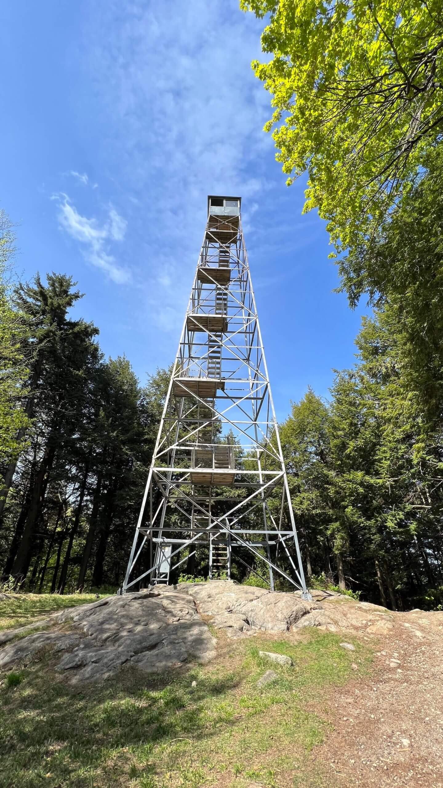
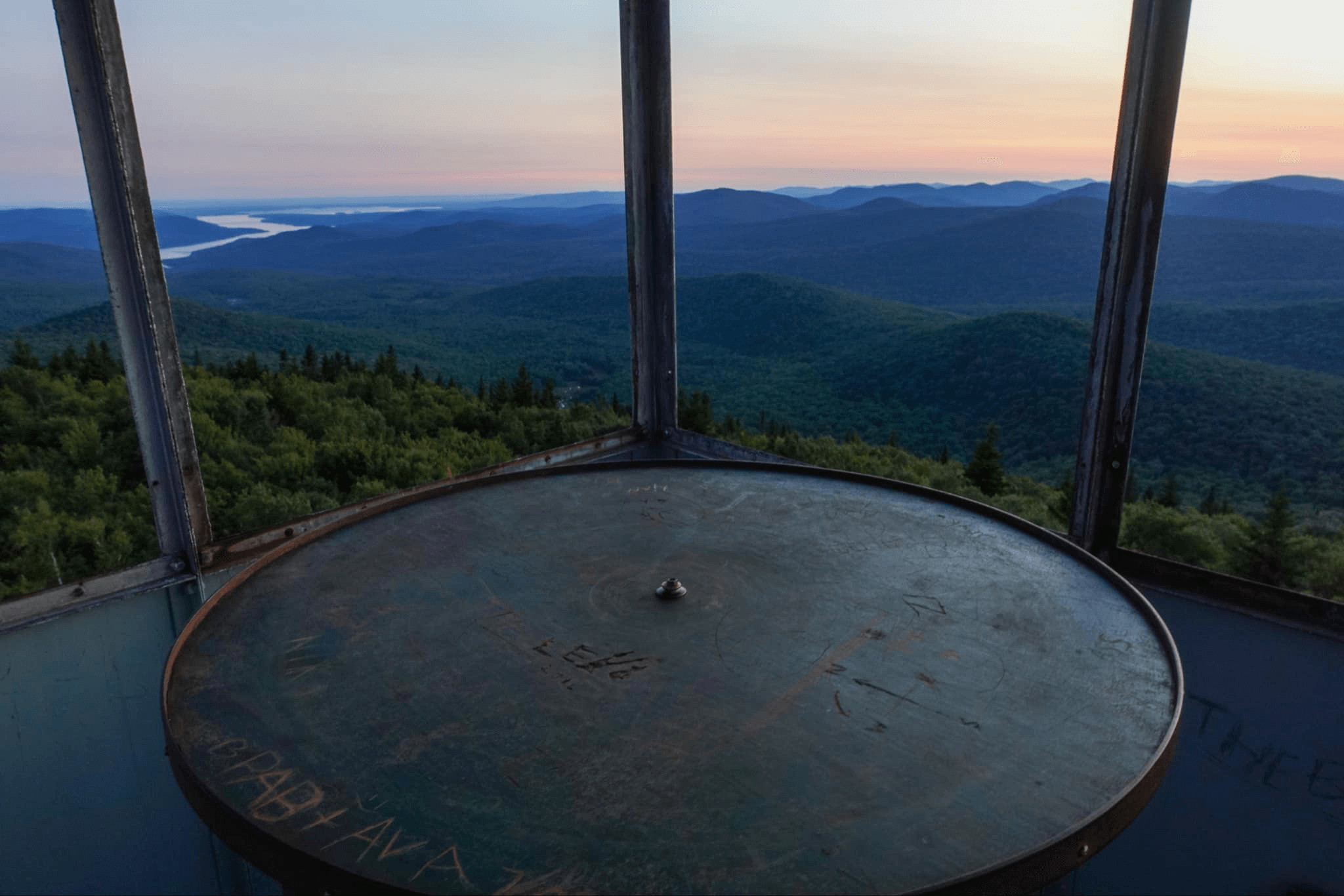
Spruce Mountain offers a scenic 2.6-mile round-trip hike, culminating in a historic 73-foot fire tower that provides panoramic views of the southern Adirondacks. The trail is well-maintained and easy to follow, with a steady incline and a total elevation gain of 1,017 feet, making it moderately challenging. For those willing to climb the fire tower, a stunning view awaits, stretching over 100 miles on a clear day. Ideal for hikers of all ages, this trail offers both natural beauty and historical significance.

View in Map

Photo by Sarah-Calzada.

spruce-mountain-ryan-kramer-4-scaled-web

Photo by Ryan Kramer Jr.

Tallest Fire Tower in the Adirondacks

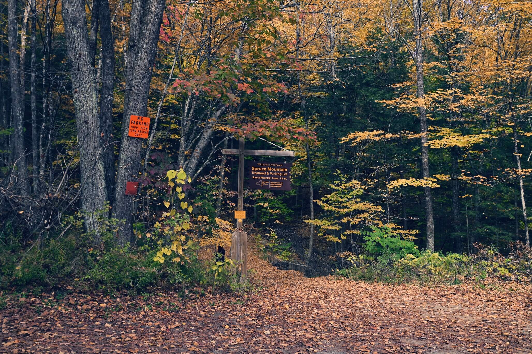
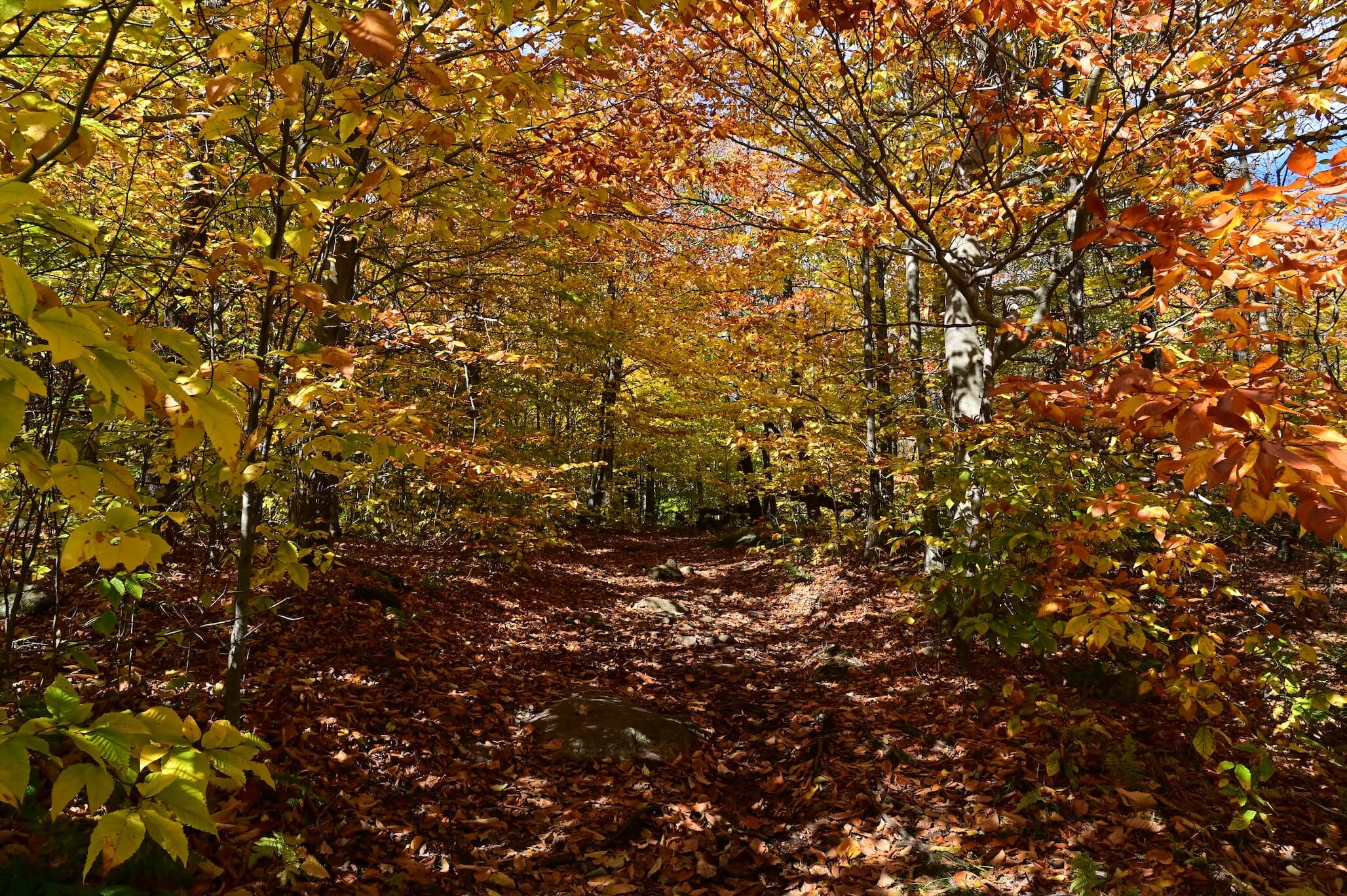
The Spruce Mountain Trail is clearly marked with yellow DEC discs and begins with a sharp right turn after crossing a concrete bridge. The trail features a mix of moderate slopes and fern-covered clearings, leading to an open summit where the fire tower stands. Although the only view is from the top of the tallest fire tower in the Adirondacks, the panoramic vista rewards climbers with breathtaking sights of the surrounding mountains. Accessible year-round, the trail closes during big game hunting season (mid-October to early December).

2.6 mi
2 hours
Gain 1,017 ft
Moderate/
Difficult
43.202, -73.896
El. 1,972 ft

Download Map

*Please Note: The tower is currently closed by the DEC until a safety inspection can be performed on the structure.

Directions & Parking

Follow Northway to Exit 16, and take Ballard Rd, Corinth Mountain Rd, and Spier Falls Rd. From Main St., continue onto Stark Rd, Heath Rd, and NY-9N. Take Wells Rd, and the trailhead is on Spruce Mountain Rd after 0.2 miles.

Plan Your Route

43.2019308,-73.8957361

Spruce Mountain Fire Tower Trailhead

Get Directions

  • Jennifer Kietzman
  • Melanie Wood
  • Jennifer Kietzman
  • Ryan Kramer Jr
  • Jennifer Haley Zeisler
  • Deborah Sokulski Dimm
  • Eric Kelly
  • Marci Mason-Robarge
  • Becca Teller
  • Ryan Kramer Jr

    Ryan Kramer Jr
Things You Don’t Want to Miss

Trail Highlights


As mentioned above, Spruce Mountain offers a scenic 2.6-mile round-trip hike, culminating in a historic 73-foot fire tower that provides panoramic views of the southern Adirondacks.

The Spruce Mountain fire tower at 73 feet in height holds the title of being the tallest fire tower in the Adirondack Park to be erected by a state agency. There is another 73 foot tower on Meenagha Mountain; however, it was privately built.

Paul Laskey, The Fire Observation Tower of New York State

The Mountain sat upon the Plain
In his tremendous Chair—
His observation omnifold,
His inquest, everywhere—

The Seasons played around his knees
Like Children round a sire—
Grandfather of the Days is He
Of Dawn, the Ancestor—

— Emily Dickinson

What to Know Before You Go

Trail Rules

Before starting your hike on the Spruce Mountain Trail, it’s important to be aware of the trail rules to protect both the environment and your safety. The Spruce Mountain Trail crosses over both state and PLAN-owned land. Below are the specific rules you should keep in mind during your visit.

IMPORTANT: The trail is closed to public use during the regular big game hunting season in the Northern Zone (mid-October to early December).

  • Open to the public for nature study, hiking, snowshoeing, and cross-country skiing.
  • Pets are welcome, but must be kept on a leash at all times.
  • No hunting, trapping, removing, harassing, touching, or feeding wildlife.
  • Stay on Marked Trails
  • Carry In, Carry Out
  • No bicycles, horses, or motorized vehicles, snowmobiles, ATVs, etc.
  • No cutting, digging, removing, or damaging any tree, shrub, flower, or plant.
  • No use of firearms, paintball devices, or artificial light.
  • No alcohol or illegal substances.
  • No camping or igniting fires.
More Journeys

Similar Routes

Take the Challenge

Are you ready to conquer the outdoors? Register for the Gateway 8 Challenge and explore Saratoga and Warren County’s most scenic hiking, biking, and paddling routes. Whether you’re a seasoned adventurer or new to the trails, this challenge offers the perfect mix of stunning views and physical achievement.

Lace up your boots, grab your gear, and start your adventure today!
Continue reading

Redmond’s Overlook Trail

Hike

Redmond’s Overlook Trail

Redmond’s Overlook is a 3.6-mile trail that offers a moderately challenging hike through the scenic Corinth Reservoir Recreation Area. Starting at Reservoir Road, hikers will enjoy a peaceful journey past the Upper Reservoir, traversing the Bald Mountain and Wilson Pass Trails before reaching Redmond’s Overlook. With an elevation gain of 767 feet, the trail features rock cairns, stone walls, and expansive views of the southern Adirondacks. Historically, the area served as a vital water source for the Village of Corinth, but recent improvements have transformed it into a serene outdoor destination for nature lovers and adventure seekers.

View in Map

Photo by Ed Valla.

Redmond's Overlook - Ben Kemp, The Overlook

Photo by Ben Kemp.

Scenic Trails and Panoramic Views

This area features a network of trails extending outward from the Upper Reservoir, including the popular Bald Mountain Trail. Hikers are treated to forested paths with old-growth trees, historic rock walls, the Wilson Farm Historic Site, and scenic views, most notably a bird’s eye view of the Village of Corinth.

The steeper sections of the trail provide rewarding panoramic vistas, making this a favorite destination for both locals and visitors seeking a peaceful yet invigorating outdoor experience.

Trail Maintained By: Village of Corinth

3.6 mi
1 h 50 min
Gain 767 ft
Moderate
43.250ºN,
73.865ºW
El. 1,542 ft

Download Map

Directions

Plan Your Route

43.2311355,-73.9326462

Corinth Reservoir Recreation Area

Get Directions

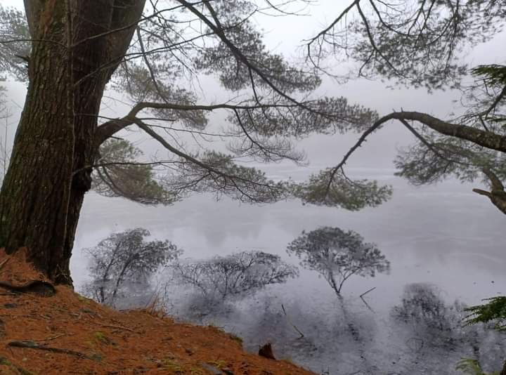
  • Redmond's Overlook - Elisabeth Morreale - Upper Reservoir (1) (1)

    Photo by Elisabeth Morreale.
  • Redmond's Overlook - Ben Kemp, The Overlook

    Photo by Ben Kemp.
  • Redmond's Overlook - Ed Valla, The Overlook

    Photo by Ed Valla.
  • Redmond's Overlook - Elaine Winslow, Ice Patterns

    Photo by Elaine Winslow.
  • Redmond's Overlook - Jennifer Kietzman, Upper Reservoir in Winter

    Photo by Jennifer Kietzman.
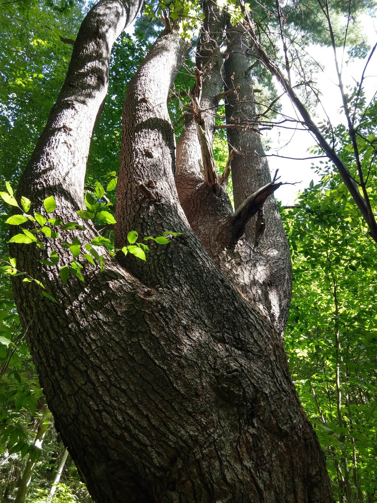
  • Redmond's Overlook - Jerry White, Old Growth White Pine on WIlson Pass Trail

    Photo by Jerry White.
Things You Don’t Want to Miss

Explore the Overlook


The trail offers stunning views from Redmond’s Overlook, beautiful rock cairns, stone walls, and lush forest paths. In 2017, the area was improved with newly marked trails and a visitor information kiosk. In 2023/2024, the Village of Corinth will be continuing its efforts to enhance the area for outdoor enthusiasts by installing a hiking registry booth, updating and replacing the information included in the kiosk, adding additional trail markers to all trails, making and installing permanent trailhead signs throughout the area, and adding benches along the shores of the Upper Reservoir. The hike is a hidden gem loved by locals and visitors alike.

From Water Supply to Hiking Trails

Discover the History


Uncover the rich past of the Corinth Reservoir Recreation Area (CRRA), home to Redmond’s Overlook, Wilson Farm Historic Site, and century-old landmarks that tell the story of Corinth’s transformation. Explore historic sites, including stone walls, foundations, and remnants of the Wilson homestead.

  • History from the CRRA Master Plan

    The majority of the CRRA property was acquired in the late 1880s by the Dunn Water Supply Company. The company built the upper and lower reservoirs, as well as the Village of Corinth’s original water system in 1895. The village purchased the property from Dunn Water Supply in 1901. The village eventually shifted to wells for potable water. As a result, the reservoirs were no longer utilized as a source for potable water.

    Information from the December 2017 Village Board Draft of the Corinth Reservoir Recreation Area Master Plan.

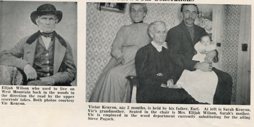
  • Redmond's Overlook - Corinth Museum, Elijah Wilson & Family

    History from the Town Historian

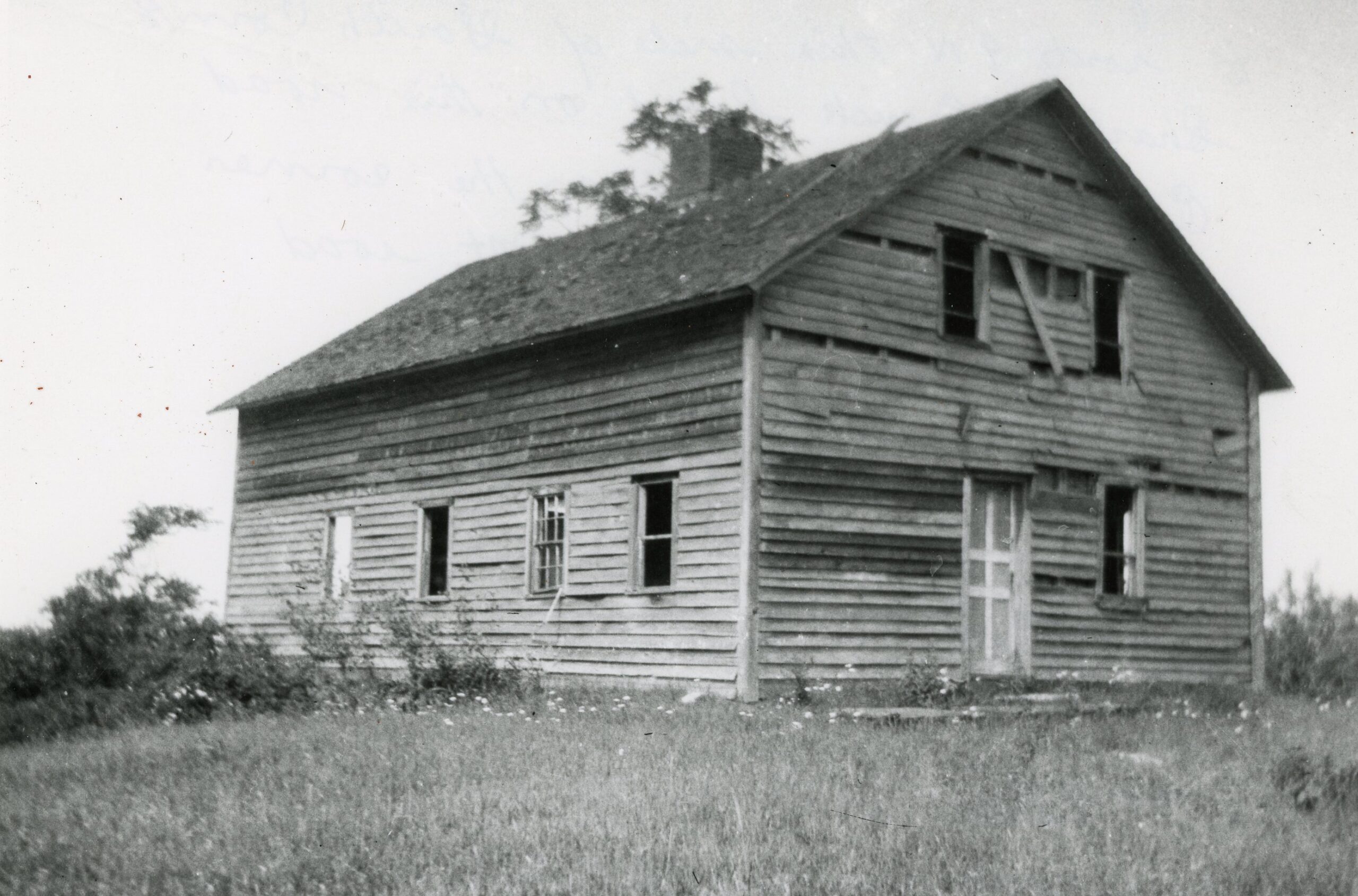
    As shown on the CRRA map (click Download Map above), the area includes the Wilson Farm Historic Site, which consists of stone foundations and walls. The site can be explored via Wilson Pass Trail and Old Town Rd. Elijah Wilson (above) is the Wilson for which the Wilson Farm Historic Site is named. Elijah Wilson and his family owned the house (see slideshow) and farm. The picture of the house likely dates from the 1940s/1950s. The following individuals are pictured in the group photo (above), which dates from 1909, from left to right: Sarah Kenyon; Mrs. Elijah Wilson; Earl Kenyon; Victor Kenyon. Sarah was the daughter of Elijah Wilson and his wife, known only as Mrs. Elijah Wilson, and Earl was the son of Sarah. Victor is Earl’s two-month- old baby. The Wilson homestead stood on Morrison Road (no longer in existence), which led from the reservoir area to Wells Rd.

    Information provided by Rachel Clothier, the Town Historian and Director of the Town of Corinth Museum

  • From the Map

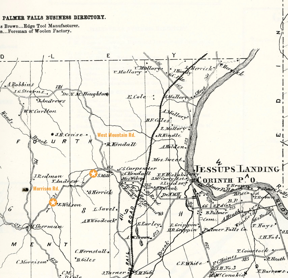
    In looking at the map from 1866 (pictured in the slideshow), remember that the CRRA as we know it did not exist. The Wilson Homestead (marked on the map as “E. Wilson”) appears on Morrison Road, which connected West Mountain Road to Wells Road. The map also shows that a sawmill (marked on the map as “S.Mill”) existed near the reservoir area. Note that many roads were not named until the early 1900s. As you can see, the roads on the 1866 map appear to be numbered, not named.

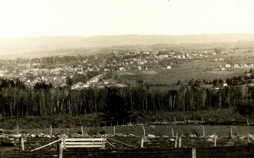
  • Corinth Museum, View of Corinth from Just to the Right of the Reservoir, Early 1900s Postcard

    View of Corinth from Just to the Right of the Reservoir, Early 1900s Postcard
  • Corinth Museum, Wilson Homestead on the Road from the Reservoir to Wells Road

    Corinth Museum, Wilson Homestead on the Road from the Reservoir to Wells Road
  • 1866 map of corinth

    1866 Map of Corinth

Photo 1: Corinth Museum, View of Corinth from Just to the Right of the Reservoir, Early 1900s Postcard. Photo 2: Corinth Museum, Wilson Homestead on the Road from the Reservoir to Wells Road. Photo 3: Corinth Museum, 1866 Map of Corinth.

Instructions for living a life:
Pay attention.
Be astonished.
Tell about it.

— Mary Oliver, “Sometimes

What to Know Before You Go

Trail Rules

Corinth Reservoir Recreation Area has specific rules in place to protect the environment and ensure safety. This recreation area is regularly patrolled by DEC rangers, Saratoga County sheriffs, and volunteers to ensure compliance with these rules. Violators will be prosecuted. These rules were approved by the Village of Corinth Board of Trustees on June 15, 2016.

  • No alcohol
  • No smoking
  • No camping
  • No swimming
  • No boating
  • No littering
  • No loud noise
  • No vehicles
  • No shooting
  • No fireworks
More Journeys

Similar Routes

Take the Challenge

Are you ready to conquer the outdoors? Register for the Gateway 8 Challenge and explore Saratoga and Warren County’s most scenic hiking, biking, and paddling routes. Whether you’re a seasoned adventurer or new to the trails, this challenge offers the perfect mix of stunning views and physical achievement.

Lace up your boots, grab your gear, and start your adventure today!
Continue reading